
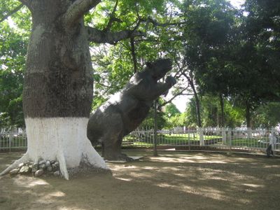
Villavieja, Colombian municipality of the department of Huila
Location: Huila Department
Elevation above the sea: 347 m
Website: http://villavieja-huila.gov.co
GPS coordinates: 3.21889,-75.21833
Latest update: May 6, 2025 09:15
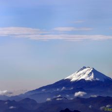
Nevado del Huila
95.6 km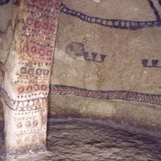
Tierradentro
115 km
Volcán Cerro Machín
142.1 km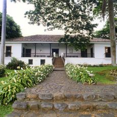
Hacienda El Paraíso
118.5 km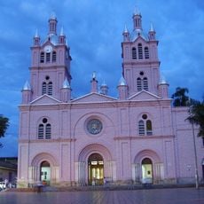
Basílica del Señor de los Milagros, Buga
142.1 km
Lake Betania
64.3 km
Las Hermosas National Natural Park
88.5 km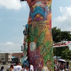
Monumento a la Resistencia
146 km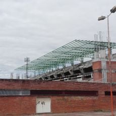
Estadio Guillermo Plazas Alcid
32.3 km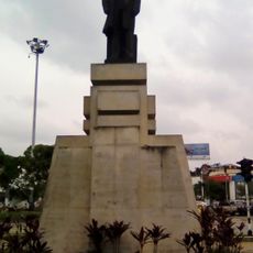
Statue of Benito Juárez in Cali
146.3 km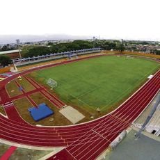
Estadio Francisco Rivera Escobar
125.7 km
Cordillera de los Picachos National Natural Park
80.8 km
Tinigua National Natural Park
142.5 km
Catedral de Ibagué
136.5 km
La Venta
16 km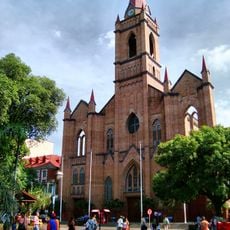
Immaculate Conception Cathedral, Neiva
33.6 km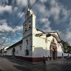
St. Peter the Apostle Cathedral, Buga
142.3 km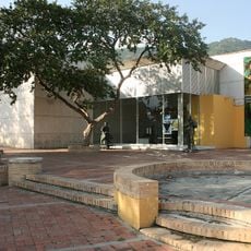
Museo de Arte del Tolima
135.8 km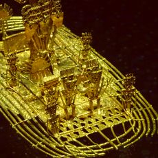
Archeological Museum of Pasca
158.5 km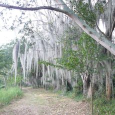
Laguna de Sonso Nature Reserve
116.3 km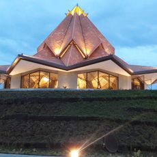
House of Adoration North of Cauca
136.9 km
Centro Cultural Metropolitano de Convenciones de Armenia
157 km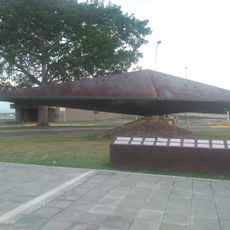
Canto
134.6 km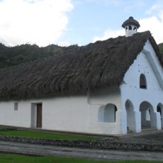
Capilla Paéz San Andrés de Pisimbalá
116 km
Arènes El Bosque
155.4 km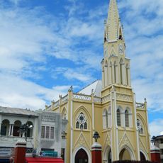
Basilika San Luis Gonzaga
140.9 km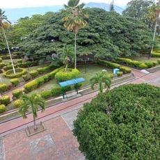
Íquira, Huila Main Park
78.7 km
Old Train Station
128.3 kmVisited this place? Tap the stars to rate it and share your experience / photos with the community! Try now! You can cancel it anytime.
Discover hidden gems everywhere you go!
From secret cafés to breathtaking viewpoints, skip the crowded tourist spots and find places that match your style. Our app makes it easy with voice search, smart filtering, route optimization, and insider tips from travelers worldwide. Download now for the complete mobile experience.

A unique approach to discovering new places❞
— Le Figaro
All the places worth exploring❞
— France Info
A tailor-made excursion in just a few clicks❞
— 20 Minutes