Santa Fe, Administrative district in Bogotá, Colombia
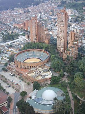
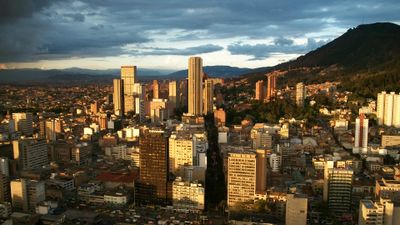
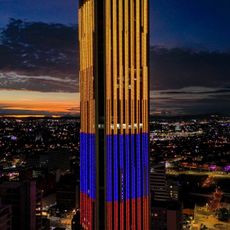
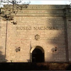
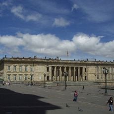
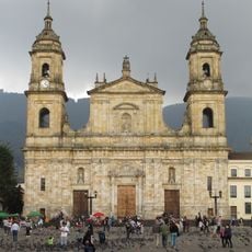
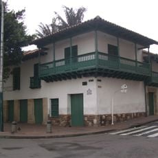
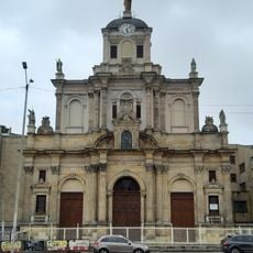
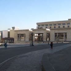
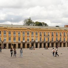
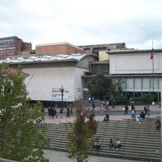
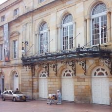
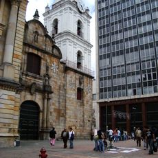
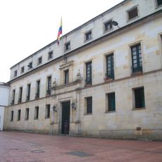
Santa Fe is an administrative district in central Bogotá that stretches from the hills in the east to more densely settled neighborhoods in the west. The area includes both narrow colonial streets with low houses and wider avenues with public buildings and museums running between older and newer urban sections.
The district grew from the first Spanish settlement founded in this area in 1538 and carried the original name of the city. Over the centuries, the area developed from a colonial core into a modern administrative center that expanded westward.
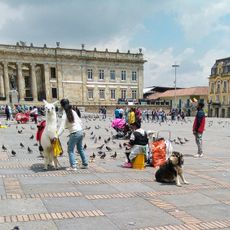
The neighborhood takes its name from the first Spanish settlement established here during the 16th century, and today it connects colonial structures with modern city life. Visitors can walk through narrow lanes that open into small plazas where locals gather in cafés and on benches, while older sections show rows of low buildings with colored facades.
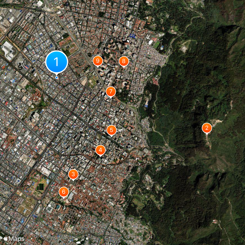
Visitors can explore the neighborhood on foot, though comfortable shoes are recommended for the steeper eastern sections while the western part is flatter. Public transport connects the different parts of the district, and sidewalks run between sights and residential areas.
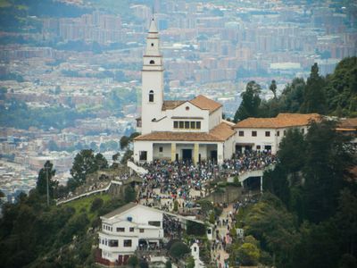
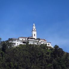
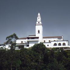
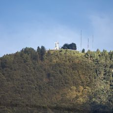
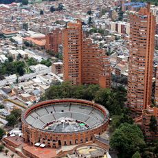
Two mountains frame the neighborhood and create natural viewpoints accessible by walking trails and a cable car. From the top, visitors can see the entire city, while the elevation differences within the district create shifting urban landscapes that range from dense residential blocks to open squares.
The community of curious travelers
AroundUs brings together thousands of curated places, local tips, and hidden gems, enriched daily by 60,000 contributors worldwide.