Chía, Administrative municipality in Cundinamarca Department, Colombia
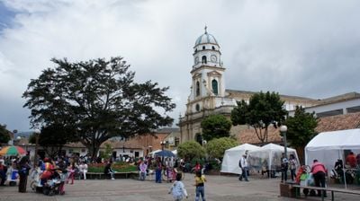
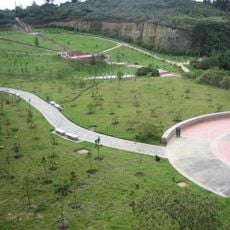
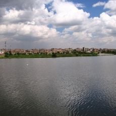
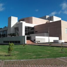
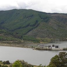
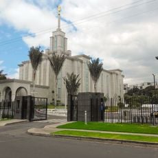
Chía is a municipality in Cundinamarca Department, located about 30 kilometers northeast of Bogotá at an elevation of 2,564 meters in the Andes. The terrain features gentle mountain slopes, university campuses, and restaurants spread along the main avenues that form the town's center.
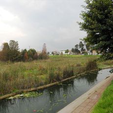
Spanish conquistador Gonzalo Jiménez de Quesada founded this settlement in 1537 as one of the region's earliest colonial outposts. The location later became strategically important during the 1781 Comuneros Revolt, when negotiations took place between rebels and the Spanish viceroy.
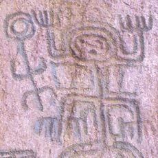
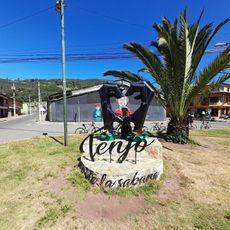
The name Chía comes from the Chibcha language and refers to a moon goddess who was revered at this location before the Spanish arrival. Local traditions and street names still echo this indigenous heritage in the community's daily identity.
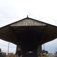
The town is easily accessible from Bogotá and offers visitors activities such as exploring university campuses, dining at local restaurants, and visiting the Sunday market. Those who want to explore the area should wear comfortable shoes and be prepared for the cooler mountain climate at this elevation.
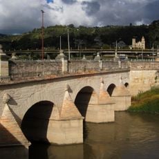
The Puente de los Comuneros, known as the Bridge of the Commoners, served as a critical negotiation site during the 1781 popular uprising and holds a special place in local memory. Few visitors realize how this simple structure witnessed a moment that challenged colonial power in the region.
The community of curious travelers
AroundUs brings together thousands of curated places, local tips, and hidden gems, enriched daily by 60,000 contributors worldwide.