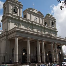
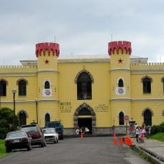
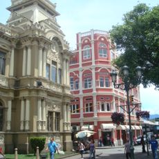
Goicoechea Canton, Administrative canton in San José Province, Costa Rica.
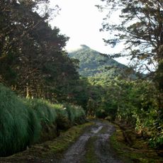
Goicoechea Canton is an administrative region located northeast of San José city, organized into seven districts with Guadalupe as its capital. The area sits at approximately 1,200 meters elevation and covers about 31 square kilometers, encompassing multiple residential centers.
The area received its official status as a canton on August 6, 1891, named after a priest from Cartago whose influence shaped the region. This establishment created the administrative framework that organized the territory into distinct districts.
The area's name honors Fray Jose Antonio de Liendo y Goicoechea, a priest whose legacy remains tied to local identity. Residents maintain distinct neighborhood identities across the seven districts, each with its own character and sense of community.
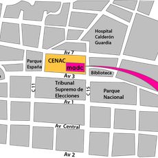
National Routes 32 and 216 connect the area to surrounding regions, making travel straightforward for visitors. The Interurbano rail line offers daily connections serving commuters and those traveling through the territory.
Each of the seven districts maintains its own postal code, ranging from 10801 in Guadalupe to 10807 in Purral. This system allows mail delivery to be organized clearly across the entire territory.
The community of curious travelers
AroundUs brings together thousands of curated places, local tips, and hidden gems, enriched daily by 60,000 contributors worldwide.