Pérez Zeledón Canton
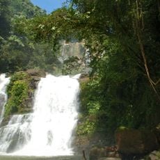
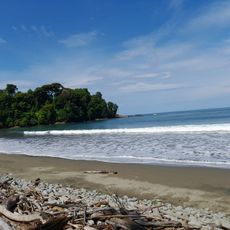
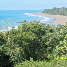
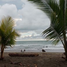
Pérez Zeledón Canton, Administrative canton in San José Province, Costa Rica
Pérez Zeledón is an administrative canton in San José Province that encompasses twelve districts across a large area. San Isidro de El General functions as its main administrative center.
The canton was established in 1931 and originally comprised four districts under a different administrative arrangement. The region later expanded and reorganized to become the area you see today.
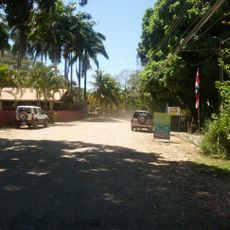
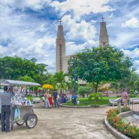
The market in San Isidro de El General serves as a hub where farmers and merchants gather daily to sell produce and goods. You can observe how the community conducts its commerce and maintains social bonds through these regular meetings.
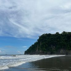
The region sits at a higher elevation in a mountainous area where weather conditions vary by season. Prepare for changing weather and wear appropriate footwear if you plan to explore the surrounding countryside.
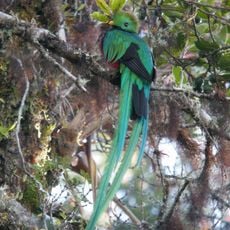
A large portion of Costa Rica's highest mountain peak sits within this canton and can be reached by hikers. The summit is protected as part of the national park system.
Location: San José Province
Inception: October 9, 1931
Capital city: San Isidro de El General
Elevation above the sea: 721 m
Shares border with: Talamanca Canton, Buenos Aires Canton, Osa Canton, Quepos Canton, Tarrazú Canton, Dota Canton, Paraíso Canton, Turrialba Canton
Website: http://perezzeledon.go.cr
GPS coordinates: 9.34111,-83.74056
Latest update: December 20, 2025 02:33
Cerro Chirripó
31.9 km
Cerro de la Muerte
23.8 km
Chirripó National Park
32.5 km
Los Quetzales National Park
32.8 km
Marino Ballena National Park
27.8 km
Dominical
17.2 km
Cerro Ventisqueros
29.4 km
Nauyaca Waterfalls
12.2 kmLos Santos Forest Reserve
32.5 kmCerro Urán
29.8 kmLas Nubes Forest Reserve
15.7 kmFinca Barú del Pacífico Mixed Wildlife Refuge
16.7 kmPortalón Mixed Wildlife Refuge
26.1 km
Playa Piñuela
27.5 km
Colonia Beach
21 km
Matapalo
24.5 km
Playa Matapalo
23.6 kmPlaya Hermosa
18.5 kmCerro de Terbi
29.9 kmCerro Bolas
38.2 kmCerro Frío
23.8 kmCerro Lira
21.7 kmCerro Sákira
28 kmCerro Amí
31 kmCerro Ena
34.3 km
Tortuga Norte
30.1 kmTurtle Hatchery
17.7 kmAlturas Wildlife Sanctuary
16.4 kmVisited this place? Tap the stars to rate it and share your experience / photos with the community! Try now! You can cancel it anytime.
Discover hidden gems everywhere you go!
From secret cafés to breathtaking viewpoints, skip the crowded tourist spots and find places that match your style. Our app makes it easy with voice search, smart filtering, route optimization, and insider tips from travelers worldwide. Download now for the complete mobile experience.
A unique approach to discovering new places❞
— Le Figaro
All the places worth exploring❞
— France Info
A tailor-made excursion in just a few clicks❞
— 20 Minutes