San Isidro de El General, Administrative district in Pérez Zeledón Canton, Costa Rica.
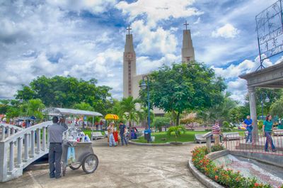
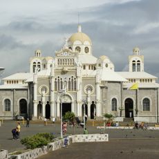
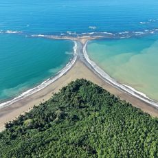
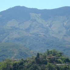
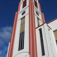
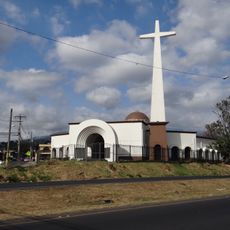
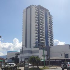
San Isidro de El General is an administrative district in Costa Rica's Southern Zone, featuring a hilly landscape with mixed terrain and significant elevation variations. The main town center contains markets, shops, restaurants, and residential areas that reflect daily life in this mountain region.
The settlement was established in 1892 and gradually grew into the largest urban center of the Brunca region. Its development was driven by its position on major trade routes passing through the mountain valleys of southern Costa Rica.
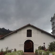
The municipal symphony school has been central to local musical life since its founding, hosting regular concerts and performances at the community cultural center. Visitors can experience classical music events that showcase both established and emerging local musicians.
The farmers market operates Wednesday through Friday with over 200 vendors selling fresh produce, meats, and local crafts under a covered structure in the town center. Morning visits offer the best selection and a lively view of how locals shop for daily goods.
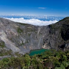
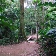
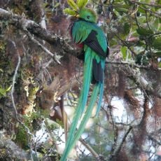
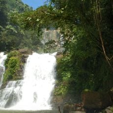
The district sits near Cerro Chirripó, the nation's highest peak, and serves as a base for mountain expeditions. From here, hikers can access trails leading through misty forests toward alpine terrain and expansive highland views.
The community of curious travelers
AroundUs brings together thousands of curated places, local tips, and hidden gems, enriched daily by 60,000 contributors worldwide.