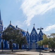
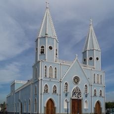
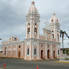
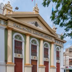
Costa Oriental del Lago de Maracaibo, Geographical region in Zulia State, Venezuela.
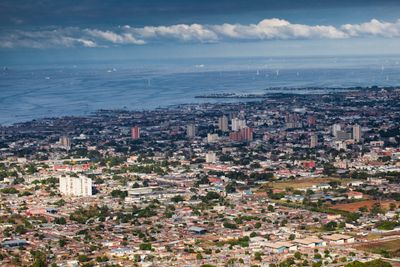
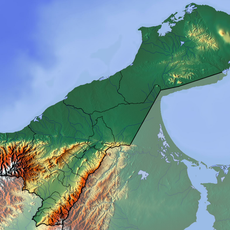
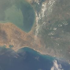
The Costa Oriental del Lago de Maracaibo is a geographical region in Zulia State that stretches along the eastern shore of Lake Maracaibo. It spans seven municipalities bordered by the lake to the west and the states of Falcón and Lara to the east.
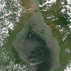
The region became Venezuela's main oil-producing center after the first productive well was drilled in 1917. This discovery sparked major development and drew thousands of workers, transforming it from a quiet area into an industrial zone.
The oil industry shapes how people here identify themselves and organize their daily lives. In towns like Cabimas and Ciudad Ojeda, you can see how this work has defined the character of the communities and influenced local traditions.
The region is connected by roads linking its various municipalities and towns. The flat terrain makes it easy to travel around, though you should expect to encounter industrial facilities throughout the area.
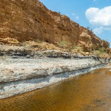
The area is marked by extensive oil extraction systems, including derricks and pipelines that dominate the lakeside landscape. These structures are visible from many vantage points and form a distinctive part of what you see here.
The community of curious travelers
AroundUs brings together thousands of curated places, local tips, and hidden gems, enriched daily by 60,000 contributors worldwide.