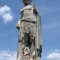
Bolívar, Administrative division in Yaracuy State, Venezuela
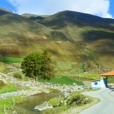
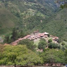
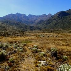
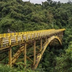
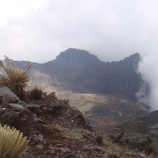
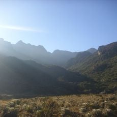
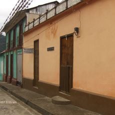
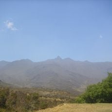
Bolívar is an administrative division in the western part of Yaracuy State, comprising several towns and communities spread across a hilly terrain. The municipality connects different local settlements and spans varied landscapes throughout its territory.
The area became established as a municipality during 20th century administrative reforms in Venezuela, creating an organized framework for the region. This designation allowed better coordination of resources and local matters across its communities.
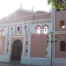
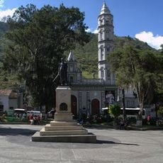
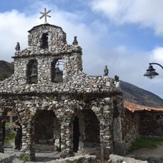
The municipality contains two main parroquias, Aroa and Carabobo, each maintaining their individual administrative functions and community organizations within the region.
Visitors can reach the different settlements of the municipality along local roads that connect the towns and wind through the hilly terrain. It is helpful to plan your route in advance, as accessibility varies with the season.
Located at coordinates 10°27'24"N and 68°53'16"W, the municipality operates under specific geographical conditions that influence its administrative operations and development.
GPS coordinates: 8.80544,-70.52030
Latest update: December 7, 2025 20:47
Monumento a la Virgen de la Paz
60.8 km
Sierra Nevada National Park
33.1 km
Humboldt peak
59.6 km
Llano del Hato National Astronomical Observatory
38.7 km
Sierra La Culata National Park
50 km
Estadio Agustín Tovar
39.9 km
Teta de Niquitao-Guirigay Natural Monument
35 km
Guaramacal National Park
57.3 km
Laguna Negra
31.5 km
Los Aleros
57.8 km
John the Baptist Monument
368.4 km
Pico Bonpland
60.8 km
Cathedral of Our Lady of the Pillar
39.3 km
Pico La Concha
62.3 km
Pico Mucuñuque
31.5 km
Unellez Botanical Garden
35.3 km
Viaducto Agrícola "Batalla de Niquitao"
34.8 km
Pico Los Nevados
44.7 km
Basilica of St. Lucia, Timotes
31.3 km
Alto de Timotes
33.8 km
Pico Mifés
31.9 km
Capilla del Filo del Tisure
29.9 km
Pico Guirigay
16.5 km
Monte Carmelo
53.4 km
Pico del Salvaje
33.5 km
Pico El Gavilán
31.2 km
Capilla de Piedra de San Rafael de Mucuchies
38.8 km
La Corona glacier
60.6 kmVisited this place? Tap the stars to rate it and share your experience / photos with the community! Try now! You can cancel it anytime.
Discover hidden gems everywhere you go!
From secret cafés to breathtaking viewpoints, skip the crowded tourist spots and find places that match your style. Our app makes it easy with voice search, smart filtering, route optimization, and insider tips from travelers worldwide. Download now for the complete mobile experience.
A unique approach to discovering new places❞
— Le Figaro
All the places worth exploring❞
— France Info
A tailor-made excursion in just a few clicks❞
— 20 Minutes