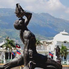
Dominican Republic–Haiti border, International border on Hispaniola Island, Dominican Republic and Haiti.
The boundary line between the two countries runs for approximately 395 kilometers and follows partly natural features like rivers and ridges. In other sections, roads or drawn lines lead from the Caribbean south to the Atlantic coast in the north.
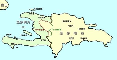
The course of the boundary dates back to the Treaty of Ryswick in 1697, when Spain ceded the western part of the island to France. Later agreements refined the line between both territories over the centuries.
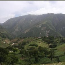
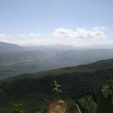
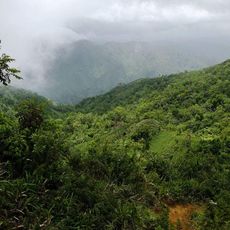
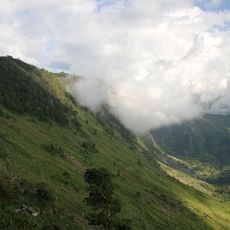
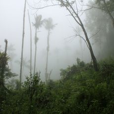
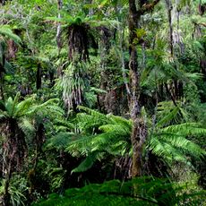
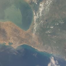
The boundary shows different approaches to land use, with the Dominican side typically showing more trees and dense greenery. Visitors often notice the contrast between the landscapes, which can be visible even from a distance in some areas.
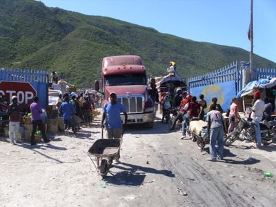
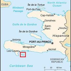
Four official crossing points connect the two countries and allow traffic between regions: Malpasse-Jimaní, Ouanaminthe-Dajabón, Anse-à-Pitres-Pedernales, and Belladère-Comendador. Travelers should carry valid documents and note that waiting times can vary depending on the day and time.
Since 2023, a wall with sensors, cameras, radar equipment, drones, watchtowers, and gates has been under construction along a section of approximately 164 kilometers. The project aims to strengthen control and marks a new phase in the monitoring of this boundary region.
The community of curious travelers
AroundUs brings together thousands of curated places, local tips, and hidden gems, enriched daily by 60,000 contributors worldwide.