Enable Location

We need your location to show you interesting places around you

Discover nearby places

Find interesting locations and hidden gems around you

Precise directions

Get accurate directions and distances to places

Your location is never shared with other users. It's only used when you tap the location button.

Ixcateopan de Cuauhtémoc

Log in to your account

Start exploring — it's free

Trusted by 62,088 travelers worldwide

Continue with Google
Continue with Apple
or

We will send you a code to connect

By continuing, you accept our Terms and Conditions and our Privacy Policy

Check your inbox

We've sent a pincode in your inbox. Please enter the code below.

Ixcateopan de Cuauhtémoc

Ixcateopan de Cuauhtémoc, Historical settlement in northern Guerrero, Mexico.

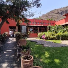
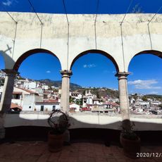
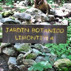
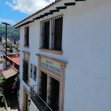
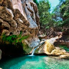
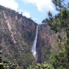
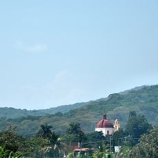
Ixcateopan de Cuauhtémoc is a settlement nestled in the mountains of northern Guerrero at 2600 meters elevation, where traditional architecture blends with rural life in a highland landscape. The village has a small local economy centered on agriculture and handicrafts that shape daily life for residents.

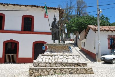
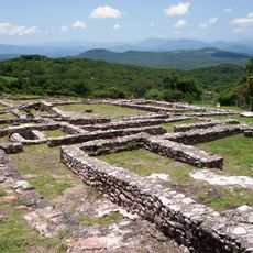
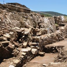
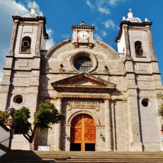
The area was a significant center for Nahuatl-speaking peoples before Spanish arrival and maintained importance through colonial times. In the mid-twentieth century, the place gained attention when the church began housing remains attributed to Cuauhtémoc, the last Aztec ruler.

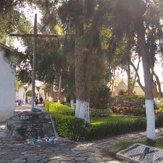
The San Juan Bautista church displays pre-Hispanic objects and receives traditional offerings from local people, reflecting indigenous practices that remain part of daily worship.

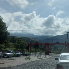
The settlement is accessible from the nearby town of Iguala by regular bus services, though travel times vary depending on road conditions. Visitors should prepare for high elevation and basic accommodations, as this is a small mountain village with limited services.

The church houses a museum with archaeological pieces and historical documents showing connections to Aztec rulers. Local guides maintain this collection and share the significance these artifacts hold for their community.

The community of curious travelers

AroundUs brings together thousands of curated places, local tips, and hidden gems, enriched daily by 60,000 contributors worldwide.

Start exploring
Elevation above the sea
2,600 m
GPS coordinates
18.50000,-99.79333
Latest update
December 6, 2025 16:04
Natural and historic sites across Guerrero state Mexico

Guerrero brings together Pacific coastline, colonial towns, and archaeological sites from pre-Hispanic civilizations. The landscape ranges from sandy beaches and offshore islands to cave systems and waterfalls in the mountainous interior of the Sierra Madre del Sur. Taxco displays baroque churches...

« Ixcateopan de Cuauhtémoc - Historical settlement in northern Guerrero, Mexico » is provided by Around Us (aroundus.com). Images and texts are derived from Wikimedia project under a Creative Commons license. You are allowed to copy, distribute, and modify copies of this page, under the conditions set by the license, as long as this note is clearly visible.

Discover hidden gems everywhere you go!

From secret cafés to breathtaking viewpoints, skip the crowded tourist spots and find places that match your style. Our app makes it easy with voice search, smart filtering, route optimization, and insider tips from travelers worldwide. Download now for the complete mobile experience.

Around Us App Screenshot

A unique approach to discovering new places

Le Figaro

All the places worth exploring

France Info

A tailor-made excursion in just a few clicks

20 Minutes

Around Us
Travel Guide & Maps
Download

Send to your phone

QR Code
1

Open the camera app on your mobile.

2

Point at the QR code with your camera. A notification will appear.

3

Tap the notification to open the link.