Insurgente José María Morelos National Park, National park in Charo and Tzitzio, Mexico
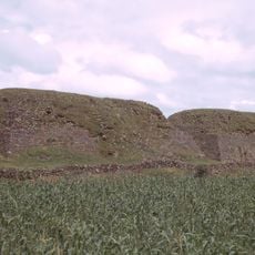
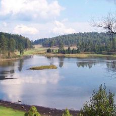
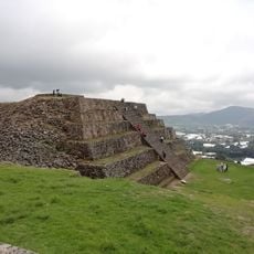
Insurgente José María Morelos y Pavón National Park protects 71.92 km2 of hills, mountains and stream valleys in the Sierra de Mil Cumbres, part of the Trans-Mexican Volcanic Belt, between 1,340 and 2,640 meters. Its plant communities are oak forests, pine–oak forests and riparian forests. Streams in the north drain to Lake Cuitzeo; southern streams feed the Balsas River basin.
President Lázaro Cárdenas established the protected area on February 22, 1939, naming it after José María Morelos, a Catholic priest who led forces in the Mexican War of Independence. This creation was part of efforts to protect Mexico's natural resources during that era.
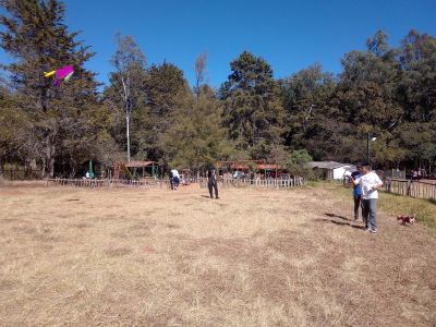
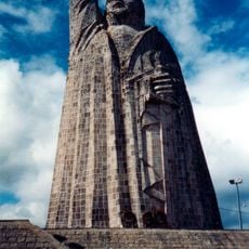
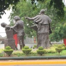
The park's name honors José María Morelos (1765–1815), the priest and rebel leader of the Mexican War of Independence. Most land inside the park remains privately owned or held by ejidos, and parts are claimed by the Indigenous Community of Charo, the Community of Zurumbeneo and small landowners of El Vaquerito; these claims are unresolved. The recreational section near kilometer 23 of the Morelia–Mil Cumbres highway is a weekend destination for Morelia residents.
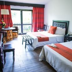
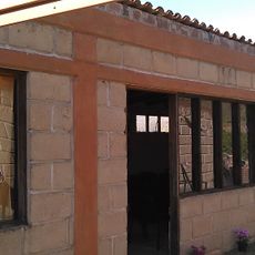
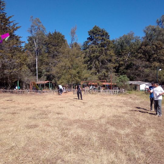
The public recreation area sits at kilometer 23 of Federal Highway 15, the Morelia–Mil Cumbres road, about 23 km east of Morelia, and is a popular weekend destination for city residents. Camping, hiking and horseback riding are practiced there, and rustic cabins offer lodging. The rest of the park is conservation land, mostly private or ejido property, so stay on the recreation side.
Water in the park flows in opposite directions: northern streams drain into Lake Cuitzeo while southern waters feed the Balsas River system. This watershed divide makes the area a meeting point for two major water systems.
The community of curious travelers
AroundUs brings together thousands of curated places, local tips, and hidden gems, enriched daily by 94,775 contributors worldwide.