Ayotlán, town in Jalisco, Mexico
Location: Ayotlán Municipality
Elevation above the sea: 1,604 m
GPS coordinates: 20.31389,-102.19417
Latest update: March 14, 2025 21:03

Parícutin
91.6 km
Cathedral of Our Lady of Guadalupe
37.9 km
Lago de Camécuaro National Park
45.8 km
El Opeño
43.9 km
Estadio Sergio León Chávez
96.6 km
Presidente InterContinental Hotel
37.9 km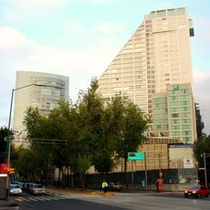
Edificio Reforma 222 Torre 1
37.9 km
Torre MAPFRE
37.9 km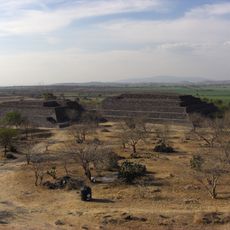
Peralta
83 km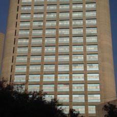
Hyatt Regency Mexico City
37.9 km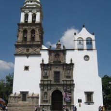
Irapuato Cathedral
97.1 km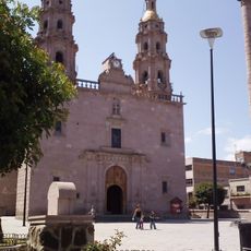
Iglesia de San Miguel Arcángel
82.7 km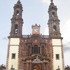
Immaculate Conception Cathedral, Zamora de Hidalgo
38 km
Torre Lomas
37.9 km
Zacapu Lagoon
69.1 km
Torre Mural
37.9 km
Reforma 115
37.9 km
Panorama Santa Fe
37.9 km
H2o Santa Fe building
37.9 km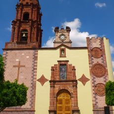
Church of la Purísima, Yurécuaro
9.8 km
Edificio Punta Poniente
37.9 km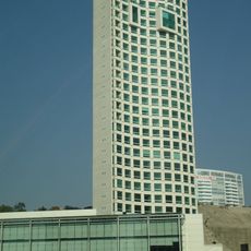
Paragon Santa Fe
37.9 km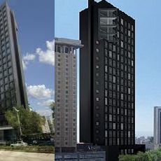
Edificio Reforma 90
37.9 km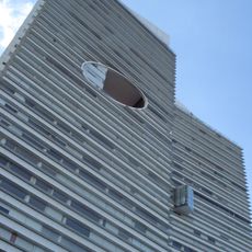
Punta del Parque Torres A y B
37.9 km
Santiago Apóstol Temple
73.6 km
Casa del Diezmo
22.8 km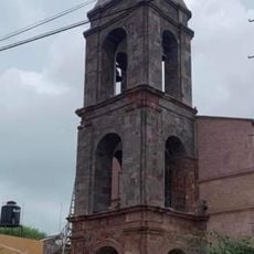
Parroquia de La Inmaculada Concepción
20.6 km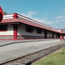
Estacion de tren, Museo de la Estación.
42.2 kmReviews
Visited this place? Tap the stars to rate it and share your experience / photos with the community! Try now! You can cancel it anytime.
Discover hidden gems everywhere you go!
From secret cafés to breathtaking viewpoints, skip the crowded tourist spots and find places that match your style. Our app makes it easy with voice search, smart filtering, route optimization, and insider tips from travelers worldwide. Download now for the complete mobile experience.

A unique approach to discovering new places❞
— Le Figaro
All the places worth exploring❞
— France Info
A tailor-made excursion in just a few clicks❞
— 20 Minutes