·

Enable Location

We need your location to show you interesting places around you

Discover nearby places

Find interesting locations and hidden gems around you

Precise directions

Get accurate directions and distances to places

Your location is never shared with other users. It's only used when you tap the location button.

Tepatitlán de Morelos

Log in to your account

Start exploring — it's free

Trusted by 62,647 travelers worldwide

Continue with Google
Continue with Apple
or

We will send you a code to connect

By continuing, you accept our Terms and Conditions and our Privacy Policy

Check your inbox

We've sent a pincode in your inbox. Please enter the code below.

Tepatitlán de Morelos

Tepatitlán de Morelos, Administrative center in Jalisco, Mexico

Tepatitlán de Morelos is an administrative center in Jalisco that serves as the heart of its municipality in Mexico's highland region. The terrain rises from roughly 977 to 2655 meters in elevation, creating distinct geographical areas with varying climate conditions throughout the landscape.

Spanish conquest of the region began in 1530 under Captain Pedro Almíndez Chirinos, displacing the original Otomi and Tecuexe populations. This colonization shaped the settlement's development and institutions for centuries to come.

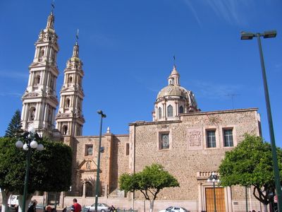
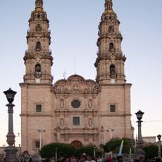
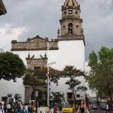
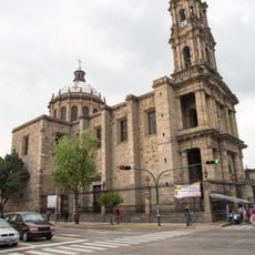
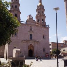
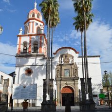
The church of San Francisco de Asís with its three domes anchors the city center and reflects 18th-century architectural styles. It remains a focal point where locals gather and observe traditions.

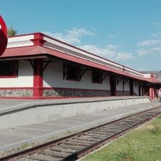
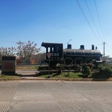
As an administrative hub, the city offers basic services and transportation connections for visitors. Elevation changes throughout the area mean you will experience varying temperature conditions depending on where you go and the season.

The city is Mexico's leading egg producer and plays an important role in the country's agricultural industry. Beyond this, the region maintains strong presence in pork and tequila production.

The community of curious travelers

AroundUs brings together thousands of curated places, local tips, and hidden gems, enriched daily by 60,000 contributors worldwide.

Start exploring
Location
Inception
1530
Capital city
Tepatitlán de Morelos
Elevation above the sea
1,820 m
GPS coordinates
20.81700,-102.73300
Latest update
December 7, 2025 10:06
« Tepatitlán de Morelos - Administrative center in Jalisco, Mexico » is provided by Around Us (aroundus.com). Images and texts are derived from Wikimedia project under a Creative Commons license. You are allowed to copy, distribute, and modify copies of this page, under the conditions set by the license, as long as this note is clearly visible.

Discover hidden gems everywhere you go!

From secret cafés to breathtaking viewpoints, skip the crowded tourist spots and find places that match your style. Our app makes it easy with voice search, smart filtering, route optimization, and insider tips from travelers worldwide. Download now for the complete mobile experience.

Around Us App Screenshot

A unique approach to discovering new places

Le Figaro

All the places worth exploring

France Info

A tailor-made excursion in just a few clicks

20 Minutes

Around Us
Travel Guide & Maps
Download

Send to your phone

QR Code
1

Open the camera app on your mobile.

2

Point at the QR code with your camera. A notification will appear.

3

Tap the notification to open the link.