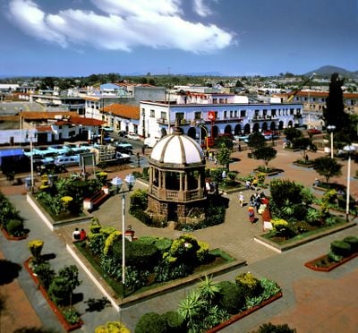
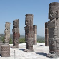
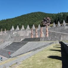
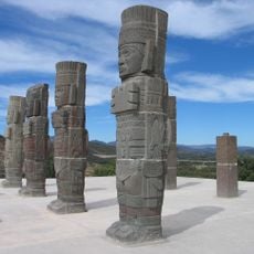
Atlacomulco Municipality, Administrative division in central State of Mexico, Mexico.
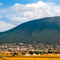
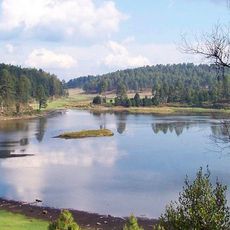
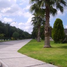
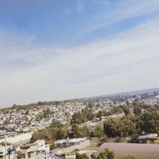
Atlacomulco Municipality is an administrative region in central Mexico that combines forests, farmland, and mountains across volcanic highlands. The territory spans different elevations with a mix of natural and cultivated areas.
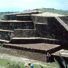
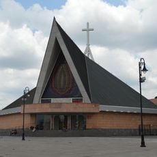
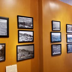
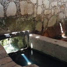
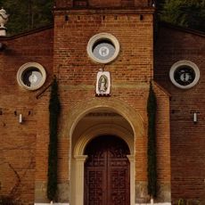
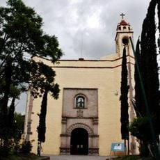
The region came under Spanish control in 1535 when the encomienda system was established with settlers arriving. This marked the start of lasting European presence in the territory.
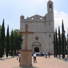
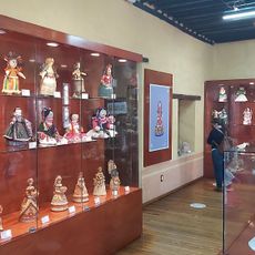
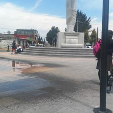
Mazahua communities here maintain their language and customs through daily life and family traditions. These practices shape how people in the region live and interact with one another.
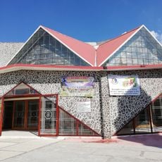
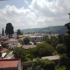
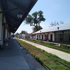
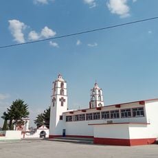
The area connects to major cities through road networks that make travel straightforward for visitors. Industrial parks and commercial centers are distributed throughout the region for easy access.
A significant portion of the territory is covered with various tree species including cedars, oaks, and eucalyptus trees. These forests give the landscape its distinctive character and shape how the land appears.
GPS coordinates: 19.81592,-99.86812
Latest update: December 7, 2025 20:40
Atlantean figures at Tula
61.8 km
Otomí Ceremonial Center
48.1 km
Tulasas
61.6 km
Calixtlahuaca
56.7 km
Tepotzotlán Aqueduct
55.7 km
Jocotitlán
14.4 km
St. Joseph Cathedral, Tula de Allende
61.1 km
Santiago Acutzilapan estado de México
11 km
Presa De Llano
41.7 km
Tula National Park
62.1 km
Toluca meteorite
42 km
Acueducto El Saucillo
59.9 km
Museo de la Muñeca Artesanal
50.4 km
Bosencheve National Park
51.2 km
Gold Hidalgo State Of Mexico
27.7 km
Cathedral of Atlacomulco
1.9 km
Mining Museum of the State of Mexico
27.5 km
Ciudad Cooperativa Cruz Azul
60.4 km
Antigua Estación De Ferrocarril De Tula
60.6 km
La Casa Del Recuerdo De Ofe.
43.7 km
Velatorios Municipales Nicolas Romero
56.2 km
Lavaderos Públicos
32 km
Sme
61.9 km
New Church of San Mateo
24.3 km
Petrograbados
60.8 km
Monumento a Juárez
51 km
Immaculate Heart of Mary Church
51.5 km
Former convent of San Francisco in Tepeji del Río
55.7 kmVisited this place? Tap the stars to rate it and share your experience / photos with the community! Try now! You can cancel it anytime.
Discover hidden gems everywhere you go!
From secret cafés to breathtaking viewpoints, skip the crowded tourist spots and find places that match your style. Our app makes it easy with voice search, smart filtering, route optimization, and insider tips from travelers worldwide. Download now for the complete mobile experience.
A unique approach to discovering new places❞
— Le Figaro
All the places worth exploring❞
— France Info
A tailor-made excursion in just a few clicks❞
— 20 Minutes