Enable Location

We need your location to show you interesting places around you

Discover nearby places

Find interesting locations and hidden gems around you

Precise directions

Get accurate directions and distances to places

Your location is never shared with other users. It's only used when you tap the location button.

Tlalnepantla de Baz Municipality

Log in to your account

Start exploring — it's free

Trusted by 62,589 travelers worldwide

Continue with Google
Continue with Apple
or

We will send you a code to connect

By continuing, you accept our Terms and Conditions and our Privacy Policy

Check your inbox

We've sent a pincode in your inbox. Please enter the code below.

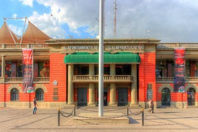
Tlalnepantla de Baz Municipality, Industrial municipality in State of Mexico, Mexico

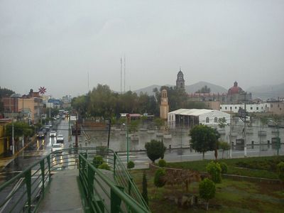
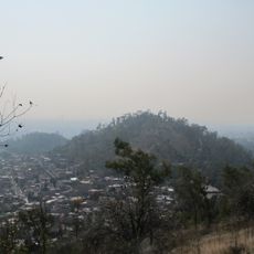
Tlalnepantla de Baz is a municipality in the northeastern part of the State of Mexico, with a western exclave separated by Gustavo A. Madero. The territory covers several districts and industrial zones within the metropolitan area of the capital.

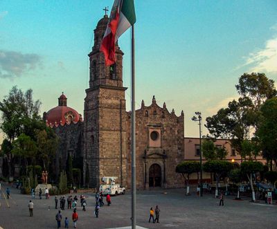
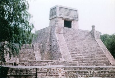
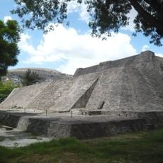
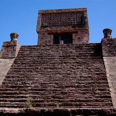
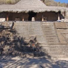
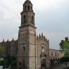
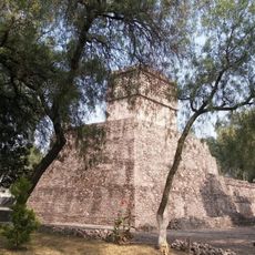
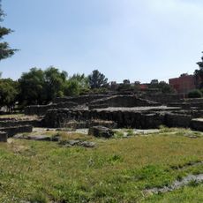
In the 11th century a group led by Xolotl founded the chiefdom of Tenayuca Oztopolco in this region. The area later developed into a major manufacturing hub during Mexico's industrialization.

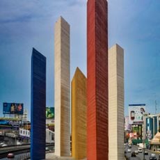
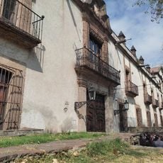
The name comes from the Náhuatl words tlalli for earth and nepantla for middle, reminding visitors of the area's indigenous past. Today the territory shows a mix of residential neighborhoods and industrial zones that define daily life in this heavily populated part of the capital region.

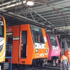
The area connects well through Mexibús, intercity buses, and Tren Suburbano, making trips across the metropolitan region easier. These transport options link residential and commercial districts throughout the territory.

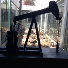
More than 2700 production facilities make this territory one of Mexico's leading manufacturing centers, with focus on food processing, textiles, and chemicals. The high concentration of factories shapes the economic life of the entire region.

The community of curious travelers

AroundUs brings together thousands of curated places, local tips, and hidden gems, enriched daily by 60,000 contributors worldwide.

Start exploring
Location
Inception
December 23, 1978
Capital city
Tlalnepantla
Elevation above the sea
2,238 m
GPS coordinates
19.54000,-99.16667
Latest update
December 13, 2025 15:32
« Tlalnepantla de Baz Municipality - Industrial municipality in State of Mexico, Mexico » is provided by Around Us (aroundus.com). Images and texts are derived from Wikimedia project under a Creative Commons license. You are allowed to copy, distribute, and modify copies of this page, under the conditions set by the license, as long as this note is clearly visible.

Discover hidden gems everywhere you go!

From secret cafés to breathtaking viewpoints, skip the crowded tourist spots and find places that match your style. Our app makes it easy with voice search, smart filtering, route optimization, and insider tips from travelers worldwide. Download now for the complete mobile experience.

Around Us App Screenshot

A unique approach to discovering new places

Le Figaro

All the places worth exploring

France Info

A tailor-made excursion in just a few clicks

20 Minutes

Around Us
Travel Guide & Maps
Download

Send to your phone

QR Code
1

Open the camera app on your mobile.

2

Point at the QR code with your camera. A notification will appear.

3

Tap the notification to open the link.