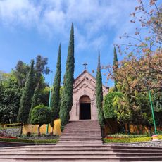
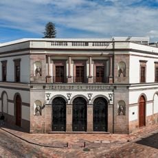
Celaya Municipality, Administrative division in Guanajuato, Mexico
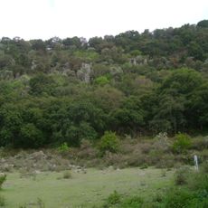
Celaya Municipality is an administrative area in southeastern Guanajuato that encompasses the main city and numerous surrounding communities. The area spans about 553 square kilometers with a mix of urban and rural development.
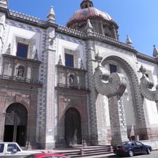
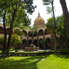
The municipality was founded in 1570 and originally named Villa de la Purísima Concepción de Zalaya, reflecting Basque roots. This founding and naming remain central to the area's historical identity.
The production of cajeta, a traditional milk-based confection, shapes the local culinary identity and economic activities to this day. Visitors can experience this sweet craft tradition in shops throughout the municipality.
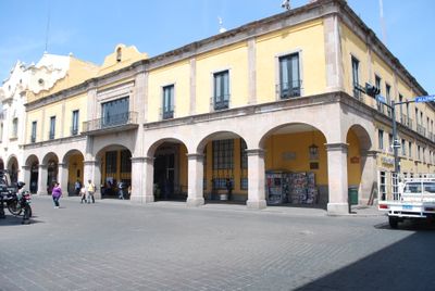
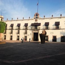
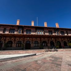
The municipal government offers citizen services through administrative offices handling property matters, public safety, and community programs. Most key services and information are located in the central administrative buildings downtown.
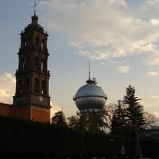
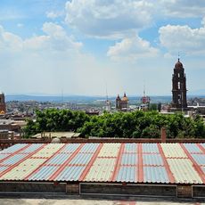
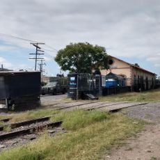
A spherical water tower manufactured in Germany in 1908 stands as a distinctive landmark in downtown Celaya. This industrial-era structure remains a recognizable feature of the city's skyline.
Location: Guanajuato
Capital city: Celaya
Elevation above the sea: 1,750 m
GPS coordinates: 20.52000,-100.75000
Latest update: December 7, 2025 10:08
Cerro de las Campanas
36.4 km
El Cerrito
32.2 km
College of Santa Cruz de Querétaro
39.1 km
Cerro de las Campanas
36.4 km
El Cimatario National Park
40.7 km
Casa de la Corregidora
38.4 km
Fuente de Neptuno
38 km
Teatro de la República
38.1 km
Emperor Maximilian Memorial Chapel
36.4 km
Cañada de la Virgen
42 km
St. Philip Neri Cathedral, Querétaro
37.7 km
Saint Rose of Viterbo Church and Convent
37.6 kmLa Casa de la Marquesa
38 km
Parque Joya La Barreta
39.6 km
Auditorio Josefa Ortiz de Domínguez
39.5 km
Immaculate Conception Cathedral, Celaya
6.4 km
Museo La Esquina del Juguete popular Mexicano
44 km
Museo Regional de Querétaro
38.3 km
Museum of Contemporary Art of Queretaro
39 km
Antigua Estacion Del Tren
37.9 km
Museo de los Conspiradores
38.4 km
Museo de Sitio El Cerrito
32.4 km
Museo Fundación Santiago Carbonell
38.8 km
Profuturo Querétaro
39.2 km
El Sindicato Centro Cultural Comunitario
43.9 km
Old Train Station
6.7 km
Centro Cultural Ignacio Ramírez "El Nigromante"
44 km
105 Campestre Torre A
35.3 kmVisited this place? Tap the stars to rate it and share your experience / photos with the community! Try now! You can cancel it anytime.
Discover hidden gems everywhere you go!
From secret cafés to breathtaking viewpoints, skip the crowded tourist spots and find places that match your style. Our app makes it easy with voice search, smart filtering, route optimization, and insider tips from travelers worldwide. Download now for the complete mobile experience.
A unique approach to discovering new places❞
— Le Figaro
All the places worth exploring❞
— France Info
A tailor-made excursion in just a few clicks❞
— 20 Minutes