Enable Location

We need your location to show you interesting places around you

Discover nearby places

Find interesting locations and hidden gems around you

Precise directions

Get accurate directions and distances to places

Your location is never shared with other users. It's only used when you tap the location button.

Guanajuato

Log in to your account

Start exploring — it's free

Trusted by 61,808 travelers worldwide

Continue with Google
Continue with Apple
or

We will send you a code to connect

By continuing, you accept our Terms and Conditions and our Privacy Policy

Check your inbox

We've sent a pincode in your inbox. Please enter the code below.

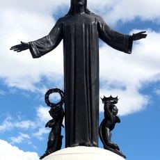
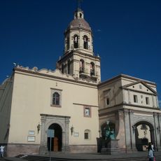
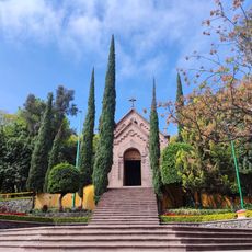
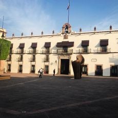
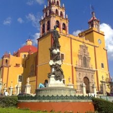
Guanajuato, State capital and administrative division in central Mexico.

Description

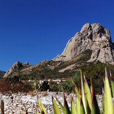
Guanajuato is a state in the central highlands of Mexico, bordered by six other states and comprising several valleys with rolling landscapes. The capital sits at an elevation of roughly 2000 meters (6500 feet) between mountains, while the rest of the territory ranges from plains to mountainous terrain.

History

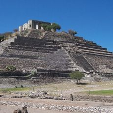
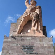
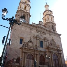
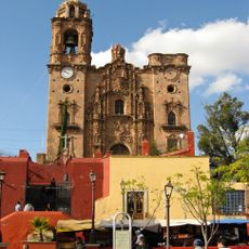
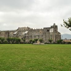
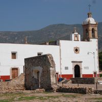
The region's mines produced a significant portion of the world's silver during the 18th century, shaping the economic development of the colonial period. Later, the capital became the site of the first major uprising against Spanish rule in 1810.

Culture

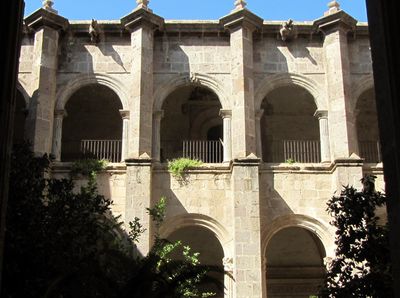
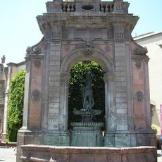
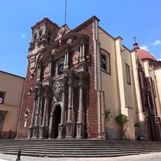
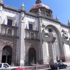
The Festival Internacional Cervantino transforms the region into a stage for performing arts each October, when artists and audiences from many countries gather. Local communities maintain their craft traditions in silverwork and ceramics, visible in workshops and markets throughout the area.

Practical

A developed highway network connects the main towns, while the international airport offers links to several Mexican and North American cities. Higher elevations mean cooler temperatures than at the coast, especially at night and during winter months.

Did you know?

A network of tunnels beneath the capital now serves as a road system, though it was originally built for flood control. The underground routes follow the old riverbeds and allow vehicles to cross much of the downtown without clogging the narrow streets.

Location
Inception
1823
Capital city
Guanajuato City
Elevation above the sea
2,072 m
Reference
GUA
Part of
Bajío
Shares border with
San Luis Potosí, Querétaro, Jalisco, Zacatecas, Michoacán
GPS coordinates
21.01889,-101.26278
Latest update
December 14, 2025 23:10

AroundUs brings together thousands of curated places, local tips, and hidden gems, enriched daily by 60,000 contributors worldwide. Discover all places nearby (Mexico).

Administrative divisions
« Guanajuato - State capital and administrative division in central Mexico » is provided by Around Us (aroundus.com). Images and texts are derived from Wikimedia project under a Creative Commons license. You are allowed to copy, distribute, and modify copies of this page, under the conditions set by the license, as long as this note is clearly visible.

Discover hidden gems everywhere you go!

From secret cafés to breathtaking viewpoints, skip the crowded tourist spots and find places that match your style. Our app makes it easy with voice search, smart filtering, route optimization, and insider tips from travelers worldwide. Download now for the complete mobile experience.

Around Us App Screenshot

A unique approach to discovering new places

Le Figaro

All the places worth exploring

France Info

A tailor-made excursion in just a few clicks

20 Minutes

Around Us
Travel Guide & Maps
Download

Send to your phone

QR Code
1

Open the camera app on your mobile.

2

Point at the QR code with your camera. A notification will appear.

3

Tap the notification to open the link.