
Acultzingo, human settlement in Mexico
Location: Acultzingo Municipality
Elevation above the sea: 1,659 m
GPS coordinates: 18.71889,-97.30361
Latest update: March 7, 2025 19:06
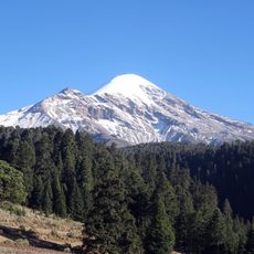
Citlaltepetl
34.8 km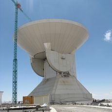
Large Millimeter Telescope
29.7 km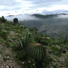
Tehuacán-Cuicatlán Biosphere Reserve
57.4 km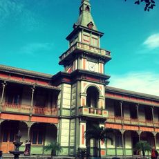
Palacio de Hierro de Orizaba
25.4 km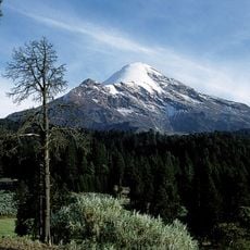
Pico de Orizaba National Park
26.8 km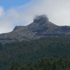
Parque Nacional Cofre de Perote
87.4 km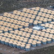
High Altitude Water Cherenkov Experiment
30.7 km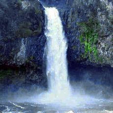
Cascada de Texolo
82.7 km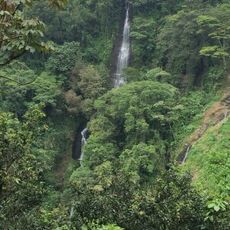
Cañón del Río Blanco Pational Park
13.3 km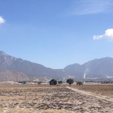
Las Derrumbadas
65.4 km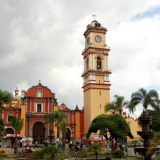
St. Michael the Archangel Cathedral, Orizaba
25.5 km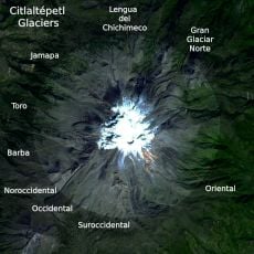
Gran Glaciar Norte
35.2 km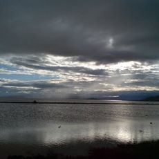
Laguna de Totolcingo
74.2 km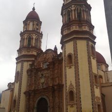
Santuario Diocesano de Nuestra Señora de Guadalupe, "La Concordia"
26.5 km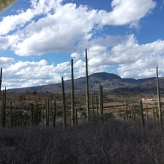
San Juan Raya
55.6 km
Veracruz State Art Museum
26.6 km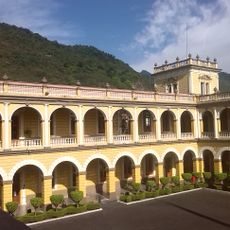
Palacio Municipal de Orizaba
25.1 km
Teatro Llave
25.4 km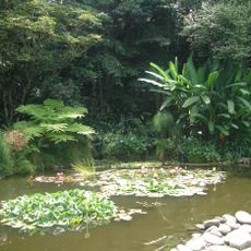
Jardín Botánico Francisco J. Clavijero
86.6 km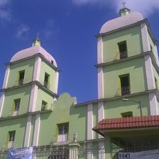
Saint John the Baptiste church in Orizaba
25.9 km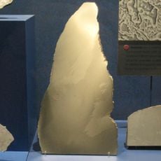
Tlacotepec meteorite
27.1 km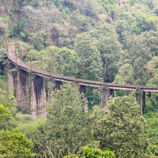
Barranca de Metlac
37 km
Macuilacatl
31.7 km
Presidencia Municipal De Vicente Guerrero, Puebla.
22.8 km
Cathedral of the Immaculate Conception in Tehuacán
30.2 km
Las Cumbres
48.1 km
Serdán-Oriental
63.8 km
La Gloria
68.3 kmReviews
Visited this place? Tap the stars to rate it and share your experience / photos with the community! Try now! You can cancel it anytime.
Discover hidden gems everywhere you go!
From secret cafés to breathtaking viewpoints, skip the crowded tourist spots and find places that match your style. Our app makes it easy with voice search, smart filtering, route optimization, and insider tips from travelers worldwide. Download now for the complete mobile experience.

A unique approach to discovering new places❞
— Le Figaro
All the places worth exploring❞
— France Info
A tailor-made excursion in just a few clicks❞
— 20 Minutes