Enable Location

We need your location to show you interesting places around you

Discover nearby places

Find interesting locations and hidden gems around you

Precise directions

Get accurate directions and distances to places

Your location is never shared with other users. It's only used when you tap the location button.

Plaza Juárez

Log in to your account

Start exploring — it's free

Trusted by 61,887 travelers worldwide

Continue with Google
Continue with Apple
or

We will send you a code to connect

By continuing, you accept our Terms and Conditions and our Privacy Policy

Check your inbox

We've sent a pincode in your inbox. Please enter the code below.

Plaza Juárez

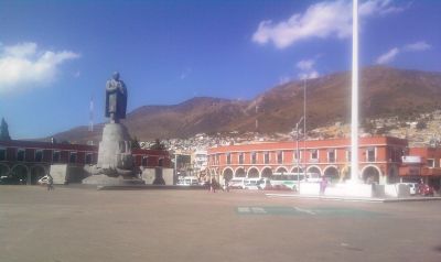
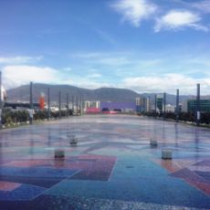
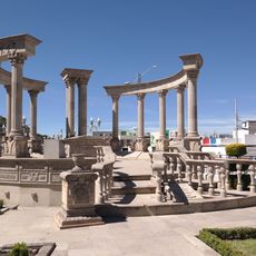
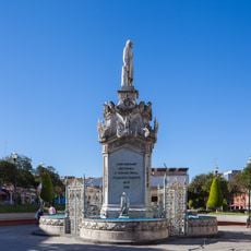
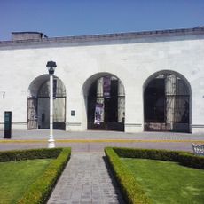
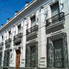
Plaza Juárez, Public square in central Pachuca de Soto, Mexico.

Plaza Juárez is a public square in central Pachuca de Soto featuring a rectangular layout with stone pathways and mature trees providing shade. A bronze statue of Benito Juárez sits at its center, flanked by benches for visitors to rest.

The plaza was established in the late 19th century during the mining industry expansion in Pachuca, marking the city's economic shift. It emerged as the region became a major center for mineral extraction and urban growth.

On weekends, local families gather here for traditional music performances, street food vendors, and artists displaying their work. The plaza serves as a natural meeting point where neighbors connect and local culture unfolds in everyday moments.

The location sits near the city center with convenient access by main bus routes and proximity to government buildings and shops. Visitors can easily walk around and find plenty of places to sit and rest.

The plaza features 24 lamp posts with ornate metalwork representing different periods of Mexican mining history. These decorative details tell a hidden story through their designs about the time when this place came into being.

The community of curious travelers

AroundUs brings together thousands of curated places, local tips, and hidden gems, enriched daily by 60,000 contributors worldwide.

Start exploring
GPS coordinates
20.12322,-98.73628
Latest update
December 6, 2025 17:43
Natural and historical sites in Hidalgo Mexico

Hidalgo state sits northeast of Mexico City, connecting volcanic landscapes with more than two thousand years of human settlement. The region extends from high-altitude pine forests to semi-arid canyons, with geological processes having created basalt columns, cave systems with thermal springs, and...

« Plaza Juárez - Public square in central Pachuca de Soto, Mexico » is provided by Around Us (aroundus.com). Images and texts are derived from Wikimedia project under a Creative Commons license. You are allowed to copy, distribute, and modify copies of this page, under the conditions set by the license, as long as this note is clearly visible.

Discover hidden gems everywhere you go!

From secret cafés to breathtaking viewpoints, skip the crowded tourist spots and find places that match your style. Our app makes it easy with voice search, smart filtering, route optimization, and insider tips from travelers worldwide. Download now for the complete mobile experience.

Around Us App Screenshot

A unique approach to discovering new places

Le Figaro

All the places worth exploring

France Info

A tailor-made excursion in just a few clicks

20 Minutes

Around Us
Travel Guide & Maps
Download

Send to your phone

QR Code
1

Open the camera app on your mobile.

2

Point at the QR code with your camera. A notification will appear.

3

Tap the notification to open the link.