Chest opened
+${chestReward.xp} XP
Explorer
NOUVEAU ×${chestReward.collectible.quantity}
tapez pour fermer
Chest locked

Open chests in the app

Around Us is built for your phone — chests unlock when you walk, explore and capture nearby places.

Enable Location

We need your location to show you interesting places around you

Discover nearby places

Find interesting locations and hidden gems around you

Precise directions

Get accurate directions and distances to places

Your location is never shared with other users. It's only used when you tap the location button.

Big Bend

Log in to your account

Start exploring — it's free

Trusted by 72,983 travelers worldwide

Continue with Google
Continue with Apple
or

We will send you a code to connect

By continuing, you accept our Terms and Conditions and our Privacy Policy

Check your inbox

We've sent a pincode in your inbox. Please enter the code below.

Big Bend
Discussion Reviews 2 Photos
27k Popularity

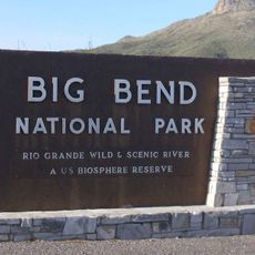
Big Bend, Geographic region in southwestern Texas, United States.

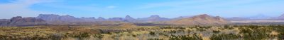
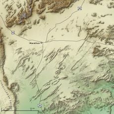
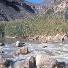
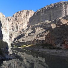
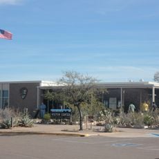
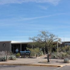
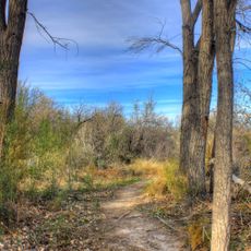
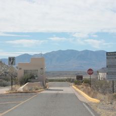
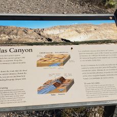
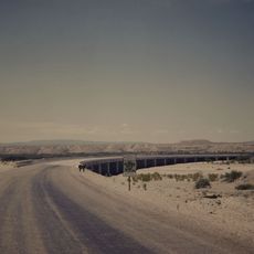
Big Bend is a geographic region in southwestern Texas stretching along the Rio Grande River with desert flats, mountain ranges, and river canyons. The area encompasses Big Bend National Park with its dramatic canyon formations and the Chisos Mountains, along with surrounding state parks and wildlife areas.

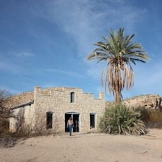
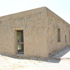
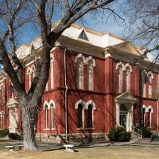
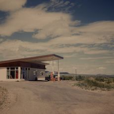
Indigenous peoples including Apache groups inhabited the region for thousands of years before Spanish explorers arrived in the 1500s. Over centuries, ranching and mining became the primary economic activities that shaped settlement patterns and the landscape.

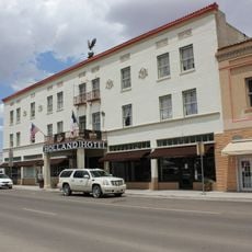
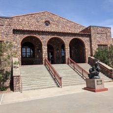
The area reflects a heritage shaped by ranching and mining communities that adapted to harsh desert conditions. Visitors today encounter reminders of these ways of life through old structures and the continuing rural character of scattered settlements.

Visit during the cooler months from October through April, as summer temperatures become extreme and difficult for outdoor travel. Bring plenty of water, wear sturdy shoes, and check road conditions beforehand since some routes are unpaved and remote.

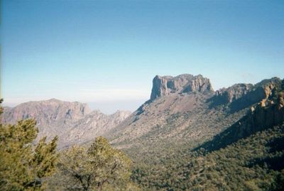
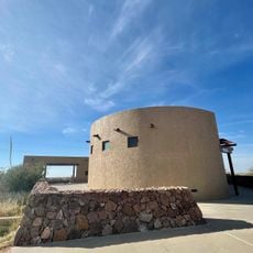
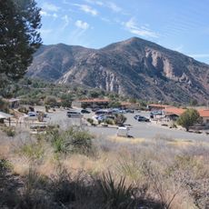
The Chisos Mountains form the only complete mountain range entirely contained within a United States national park's boundaries. These isolated peaks support plant and animal species found nowhere else in the country.

The community of curious travelers

AroundUs brings together thousands of curated places, local tips, and hidden gems, enriched daily by 60,000 contributors worldwide.

Start exploring
Location
GPS coordinates
30.00000,-103.00000
Latest update
March 5, 2026 18:15
Around this place
Emory Peak
United States of America

Emory Peak

89 km
Javelina Formation
United States of America

Javelina Formation

87 km
Hot Springs
United States of America

Hot Springs

91.2 km
Marathon Uplift
United States of America

Marathon Uplift

32.9 km
Rio Grande Wild and Scenic River
United States of America

Rio Grande Wild and Scenic River

52.9 km
La Linda International Bridge
Mexico

La Linda International Bridge

63.7 km
The Holland Hotel
United States of America

The Holland Hotel

75.2 km
Boquillas Canyon
United States of America

Boquillas Canyon

88.5 km
Persimmon Gap
United States of America

Persimmon Gap

40.4 km
Daniels Farm House
United States of America

Daniels Farm House

90.7 km
Gage Hotel
United States of America

Gage Hotel

33 km
Museum of the Big Bend
United States of America

Museum of the Big Bend

74.6 km
Panther Junction Visitor Center
United States of America

Panther Junction Visitor Center

77.4 km
Panther Junction Mission 66 Historic District
United States of America

Panther Junction Mission 66 Historic District

77.4 km
Marfa Lights Viewing Area
United States of America

Marfa Lights Viewing Area

90.3 km
Persimmon Gap Entrance Sign
United States of America

Persimmon Gap Entrance Sign

39.1 km
Dugout Wells
United States of America

Dugout Wells

82.1 km
Chisos Basin Visitor Center
United States of America

Chisos Basin Visitor Center

86.3 km
Rangra Theatres
United States of America

Rangra Theatres

75.1 km
Granada Theatre
United States of America

Granada Theatre

74.9 km
Princess Theater
United States of America

Princess Theater

60.3 km
Brewster County Courthouse
United States of America

Brewster County Courthouse

75.2 km
Panther Junction Gas Station
United States of America

Panther Junction Gas Station

77.3 km
Persimmon Gap Entrance Station
United States of America

Persimmon Gap Entrance Station

41.2 km
Rio Grande Village Campground
United States of America

Rio Grande Village Campground

91.3 km
Rio Grande Village Campground Amphitheater
United States of America

Rio Grande Village Campground Amphitheater

91.2 km
Boquillas Canyon Overlook
United States of America

Boquillas Canyon Overlook

90 km
Tornillo Creek Bridge
United States of America

Tornillo Creek Bridge

90.2 km
Show the full map
Reviews
Share your experience

No review yet

Discussions
Start a discussion...

No discussion yet

« Big Bend - Geographic region in southwestern Texas, United States » is provided by Around Us (aroundus.com). Images and texts are derived from Wikimedia project under a Creative Commons license. You are allowed to copy, distribute, and modify copies of this page, under the conditions set by the license, as long as this note is clearly visible.

Discover hidden gems everywhere you go!

From secret cafés to breathtaking viewpoints, skip the crowded tourist spots and find places that match your style. Our app makes it easy with voice search, smart filtering, route optimization, and insider tips from travelers worldwide. Download now for the complete mobile experience.

Around Us App Screenshot

A unique approach to discovering new places

Le Figaro

All the places worth exploring

France Info

A tailor-made excursion in just a few clicks

20 Minutes

Around Us
Travel Guide & Maps
Download

Send to your phone

QR Code
1

Open the camera app on your mobile.

2

Point at the QR code with your camera. A notification will appear.

3

Tap the notification to open the link.