Edwards County

Log in to your account

AroundUs is a community-driven map of interesting places, built by curious explorers like you. It grows with every review, story, and photo you share.
Connect to save your favorite spots, contribute locations, and create personalized routes.
By continuing, you accept our Terms and Conditions and our Privacy Policy
Add to collection
Map
Suggest a change
Share

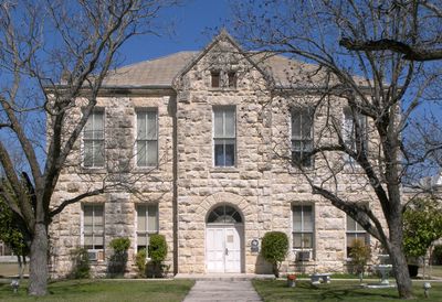
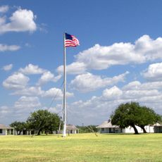
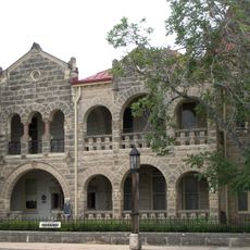
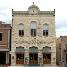
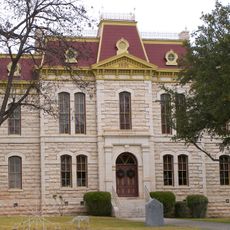
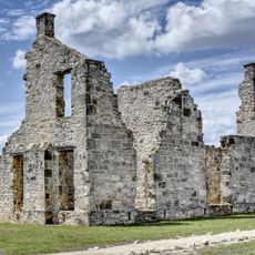
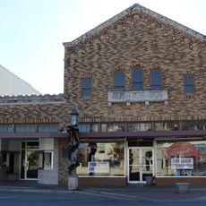
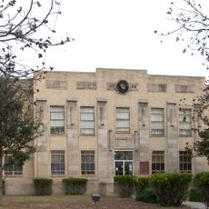
Edwards County, County seat in Rocksprings, Texas

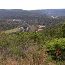
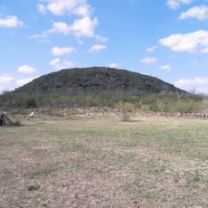
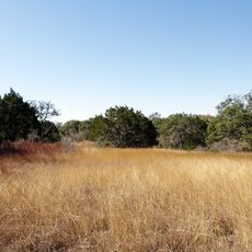
Edwards County is an administrative division in Texas located within the Edwards Plateau, featuring varied terrain across its span. Natural springs flow year-round throughout the area, forming the source waters for several river systems.

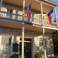
This county was established in 1858 and officially organized in 1883, taking its name from an early settler who had connections to early Texas history. Its creation reflected the expansion and settlement patterns of central Texas during that era.

Ranching and wool production have shaped how people live and work across the land for generations. Local festivals celebrate these traditions and show how deeply they remain part of community identity today.

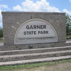
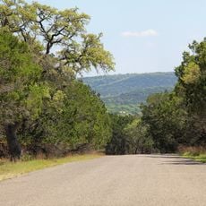
Several highways connect this area to surrounding regions, making travel straightforward. The landscape is accessible year-round, though warmer months work best for exploring outdoor areas.

Fifteen natural springs scattered across the area feed important river systems and reveal the geological importance of the plateau. These year-round water sources shaped where people could build and farm throughout history.

GPS coordinates: 29.91166,-100.34576

Latest update: December 7, 2025 19:30

Photos
Around this place
Show the full map
Garner State Park
United States of America

Garner State Park

69.1 km
Lost Maples State Natural Area
United States of America

Lost Maples State Natural Area

74.3 km
Amistad Reservoir
Mexico

Amistad Reservoir

85.9 km
Fort Clark
United States of America

Fort Clark

67.8 km
Sleeping Spring Draw
United States of America

Sleeping Spring Draw

81.2 km
Stonehenge II
United States of America

Stonehenge II

107.3 km
Fort McKavett
United States of America

Fort McKavett

104.4 km
Amistad National Recreation Area
United States of America

Amistad National Recreation Area

86.2 km
Fort Inge
United States of America

Fort Inge

99 km
Hill Country State Natural Area
United States of America

Hill Country State Natural Area

116.9 km
John Nance Garner House
United States of America

John Nance Garner House

94.5 km
Lake Amistad Dam International Crossing
United States of America

Lake Amistad Dam International Crossing

86 km
Kerrville-Schreiner Park
United States of America

Kerrville-Schreiner Park

118.7 km
Capt. Charles Schreiner Mansion
United States of America

Capt. Charles Schreiner Mansion

117.3 km
Whitehead Memorial Museum
United States of America

Whitehead Memorial Museum

82.1 km
Grand Opera House
United States of America

Grand Opera House

95 km
Masonic Building
United States of America

Masonic Building

117.2 km
Edwards County Courthouse and Jail
United States of America

Edwards County Courthouse and Jail

17.6 km
Sutton County Courthouse
United States of America

Sutton County Courthouse

78.9 km
State Highway 3 Bridge at the Nueces River
United States of America

State Highway 3 Bridge at the Nueces River

89.6 km
Uvalde Downtown Historic District
United States of America

Uvalde Downtown Historic District

95.1 km
Fort McKavett State Historic Site
United States of America

Fort McKavett State Historic Site

104.3 km
Pampell's Opera House
United States of America

Pampell's Opera House

117.1 km
St. Philip's Episcopal Church
United States of America

St. Philip's Episcopal Church

94.6 km
Kimble County Courthouse
United States of America

Kimble County Courthouse

85.1 km
Combination Building
United States of America

Combination Building

69.4 km
Nicolas Street School
United States of America

Nicolas Street School

95.4 km
Guthrie Building
United States of America

Guthrie Building

117.3 km
Show the full map
Reviews

Visited this place? Tap the stars to rate it and share your experience / photos with the community! Try now! You can cancel it anytime.

« Edwards County - County seat in Rocksprings, Texas » is provided by Around Us (aroundus.com). Images and texts are derived from Wikimedia project under a Creative Commons license. You are allowed to copy, distribute, and modify copies of this page, under the conditions set by the license, as long as this note is clearly visible.

Discover hidden gems everywhere you go!

From secret cafés to breathtaking viewpoints, skip the crowded tourist spots and find places that match your style. Our app makes it easy with voice search, smart filtering, route optimization, and insider tips from travelers worldwide. Download now for the complete mobile experience.

Around Us App Screenshot

A unique approach to discovering new places

Le Figaro

All the places worth exploring

France Info

A tailor-made excursion in just a few clicks

20 Minutes