Hidalgo County

Log in to your account

AroundUs is a community-driven map of interesting places, built by curious explorers like you. It grows with every review, story, and photo you share.
Connect to save your favorite spots, contribute locations, and create personalized routes.
By continuing, you accept our Terms and Conditions and our Privacy Policy
Add to collection
Map
Suggest a change
Share

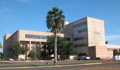
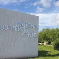
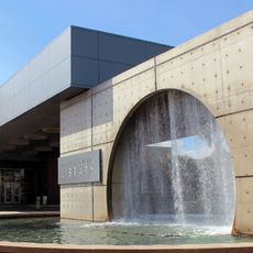
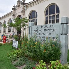
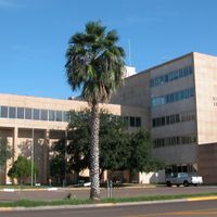
Hidalgo County, Administrative county in southern Texas, United States

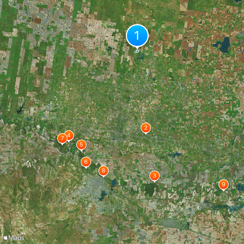
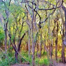
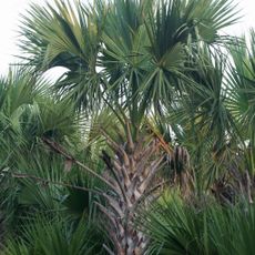
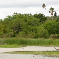
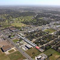
Hidalgo County is an administrative area in southern Texas along the Rio Grande, covering more than 4,000 square kilometers (1,500 square miles) and including several cities such as Edinburg and McAllen. The county shows sandy soils in its northern section and clay soils in the southern part, shaping agricultural use across the region.

The Texas Legislature formed the county on January 24, 1852, naming it after Mexican independence leader Miguel Hidalgo. Since then, the area grew from a rural border region into a densely settled administrative territory along the international boundary.

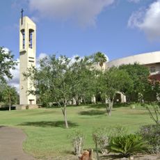
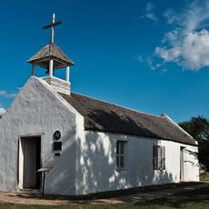
The county carries the name of Mexican independence leader Miguel Hidalgo and shows this connection through street names and public buildings along the Rio Grande. In towns you hear mostly Spanish at markets and shops, while many communities pass along their roots through traditional celebrations and family recipes.

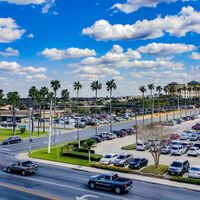
Major roads such as Interstate 2, US Highway 83 and US Highway 281 link the cities within the county and lead to neighboring regions. Travelers find guidance along these main routes through signs pointing to larger towns like Edinburg and McAllen.

The growing season runs about 320 days each year, allowing farmers to bring in multiple harvests of vegetables, corn and cotton in succession. This long stretch of warm weather makes the region a major supplier of produce within Texas.

Location: Texas

Inception: January 24, 1852

Capital city: Edinburg

Elevation above the sea: 27 m

Shares border with: Brooks County, Starr County, Kenedy County, Willacy County, Cameron County

Website: https://hidalgocounty.us

GPS coordinates: 26.39672,-98.18107

Latest update: December 4, 2025 23:41

Around this place
Show the full map
Basilica of the National Shrine of Our Lady of San Juan del Valle
United States of America

Basilica of the National Shrine of Our Lady of San Juan del Valle

22.2 km
Palo Alto Battlefield National Historical Park
United States of America

Palo Alto Battlefield National Historical Park

82.5 km
Santa Ana National Wildlife Refuge
United States of America

Santa Ana National Wildlife Refuge

35.2 km
National Butterfly Center
United States of America

National Butterfly Center

30.3 km
Laguna Atascosa National Wildlife Refuge
United States of America

Laguna Atascosa National Wildlife Refuge

80.4 km
La Lomita Chapel
United States of America

La Lomita Chapel

30.5 km
Lower Rio Grande Valley National Wildlife Refuge
United States of America

Lower Rio Grande Valley National Wildlife Refuge

40.3 km
Bentsen-Rio Grande Valley State Park
United States of America

Bentsen-Rio Grande Valley State Park

32 km
McAllen–Hidalgo–Reynosa International Bridge
Mexico

McAllen–Hidalgo–Reynosa International Bridge

34.8 km
McAllen Convention Center
United States of America

McAllen Convention Center

23.2 km
McAllen Public Library
United States of America

McAllen Public Library

18.3 km
McAllen Botanical Gardens
United States of America

McAllen Botanical Gardens

20.8 km
Estero Llano Grande State Park
United States of America

Estero Llano Grande State Park

37.6 km
First Lift Station
United States of America

First Lift Station

25.4 km
Roma Historic District
United States of America

Roma Historic District

83.5 km
Topgolf
United States of America

Topgolf

22.4 km
Bobz World
United States of America

Bobz World

82.7 km
Veterans War Memorial of Texas
United States of America

Veterans War Memorial of Texas

23.2 km
Border Theater
United States of America

Border Theater

24.8 km
Old Lyford High School
United States of America

Old Lyford High School

38.4 km
Pharr Aquatic Center
United States of America

Pharr Aquatic Center

23.7 km
M and J Nelson Building
United States of America

M and J Nelson Building

22.4 km
Reynosakatedralen
Mexico

Reynosakatedralen

35.2 km
Mcallen public pool
United States of America

Mcallen public pool

20.2 km
Iwo Jima Museum Gift Shop
United States of America

Iwo Jima Museum Gift Shop

54.8 km
McAllen Heritage Center
United States of America

McAllen Heritage Center

22.4 km
Rio Theater
United States of America

Rio Theater

25.3 km
Garmon Theater
United States of America

Garmon Theater

63.6 km
Show the full map

Reviews

Visited this place? Tap the stars to rate it and share your experience / photos with the community! Try now! You can cancel it anytime.

Administrative divisions
« Hidalgo County - Administrative county in southern Texas, United States » is provided by Around Us (aroundus.com). Images and texts are derived from Wikimedia project under a Creative Commons license. You are allowed to copy, distribute, and modify copies of this page, under the conditions set by the license, as long as this note is clearly visible.

Discover hidden gems everywhere you go!

From secret cafés to breathtaking viewpoints, skip the crowded tourist spots and find places that match your style. Our app makes it easy with voice search, smart filtering, route optimization, and insider tips from travelers worldwide. Download now for the complete mobile experience.

Around Us App Screenshot

A unique approach to discovering new places

Le Figaro

All the places worth exploring

France Info

A tailor-made excursion in just a few clicks

20 Minutes