Chest opened
+${chestReward.xp} XP
Explorer
NOUVEAU ×${chestReward.collectible.quantity}
tapez pour fermer

See the monuments around you in AR Open chests in the app

Around Us is built for your phone — point your camera at the streets and discover the monuments and places around you in augmented reality. Around Us is built for your phone — chests unlock when you walk, explore and capture nearby places.

Enable Location

We need your location to show you interesting places around you

Discover nearby places

Find interesting locations and hidden gems around you

Precise directions

Get accurate directions and distances to places

Your location is never shared with other users. It's only used when you tap the location button.

Rosharon

Log in to your account

Start exploring — it's free

Trusted by 86,335 travelers worldwide

Continue with Google
Continue with Apple
or

We will send you a code to connect

By continuing, you accept our Terms and Conditions and our Privacy Policy

Check your inbox

We've sent a pincode in your inbox. Please enter the code below.

Discussion Reviews 1 Photos
23.7k Popularity

Rosharon, Census-designated place in Brazoria County, Texas.

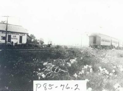
Rosharon is a census-designated place in Brazoria County located at the intersection of Farm to Market Road 521 and 1462. The area blends residential neighborhoods with surrounding farmland that defines its rural character.

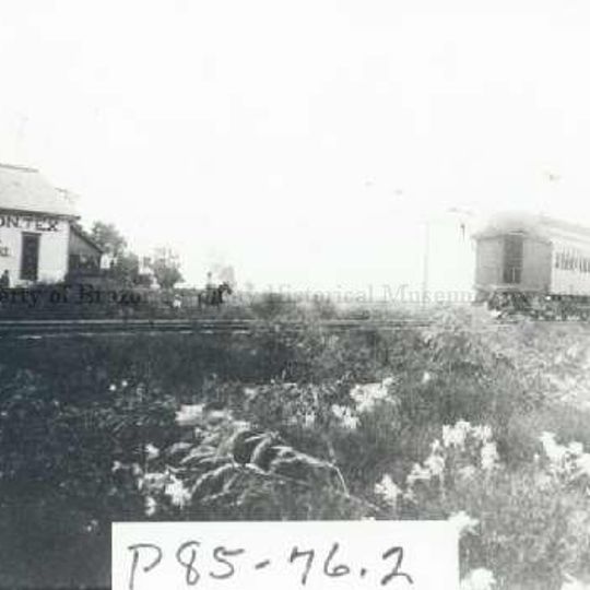
The settlement started in 1859 as Masterson's Station along the Houston Tap and Brazoria Railway, serving the region's cotton and sugar plantations. The railroad connection helped shape the area's early growth.

The name comes from George Wetmore Colles Jr.'s estate, Rose of Sharon Garden Ranch, named after the many Cherokee roses that grew throughout the area. These flowers shaped how people saw and referred to the place.

Depending on location, students attend either the Angleton Independent School District or Fort Bend Independent School District. School bus service covers the area, though travel times can be longer in this rural setting.

In the early railroad era, this place was nicknamed Buttermilk Station because residents sold fresh buttermilk to passing train crews. This small commerce showed how the community took advantage of the rail connection.

The community of curious travelers

AroundUs brings together thousands of curated places, local tips, and hidden gems, enriched daily by 60,000 contributors worldwide.
Start exploring
Location
GPS coordinates
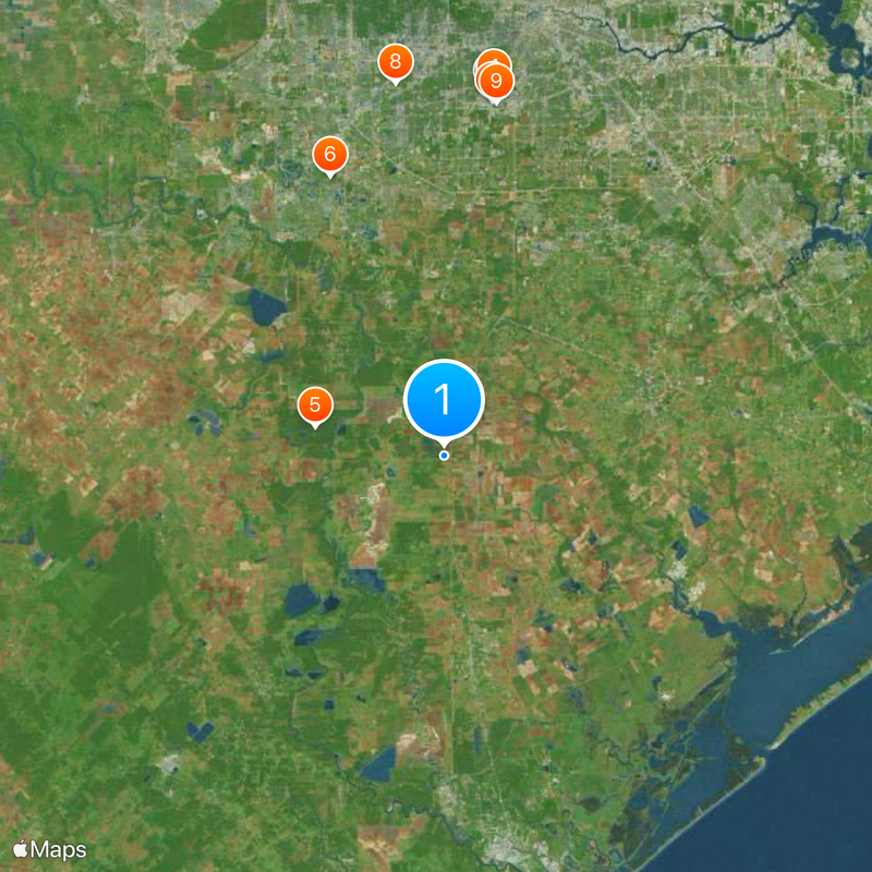
29.35222,-95.46028
Latest update
September 11, 2026 23:48
Around this place
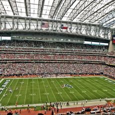
NRG Stadium
United States of America

NRG Stadium

23.2 mi
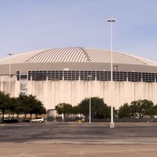
Astrodome
United States of America

Astrodome

23.2 mi
Colt Stadium
United States of America

Colt Stadium

23.5 mi
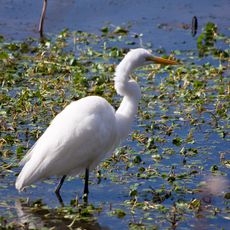
Brazos Bend State Park
United States of America

Brazos Bend State Park

8.3 mi
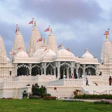
BAPS Shri Swaminarayan Mandir Houston
United States of America

BAPS Shri Swaminarayan Mandir Houston

19.1 mi
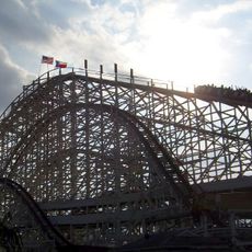
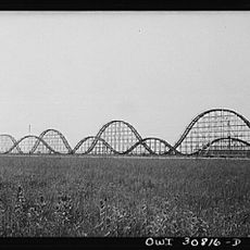
Texas Cyclone
United States of America

Texas Cyclone

22.6 mi
Husky Stadium
United States of America

Husky Stadium

23.7 mi
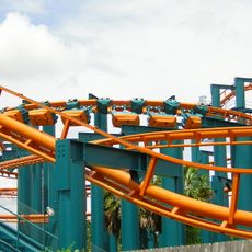
XLR-8
United States of America

XLR-8

22.6 mi
Darrington Unit
United States of America

Darrington Unit

3.7 mi
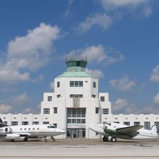
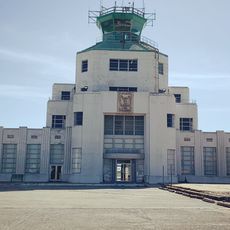
1940 Air Terminal Museum
United States of America

1940 Air Terminal Museum

22.9 mi
Varner–Hogg Plantation State Historical Site
United States of America

Varner–Hogg Plantation State Historical Site

17 mi
Arena Place
United States of America

Arena Place

24.4 mi
United States of America

Telfair, Sugar Land

20.4 mi
Fort Bend County Libraries
United States of America

Fort Bend County Libraries

23.1 mi
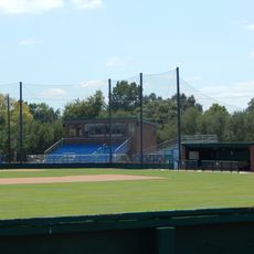
Husky Field
United States of America

Husky Field

23.7 mi
Lone Star Flight Museum
United States of America

Lone Star Flight Museum

24.5 mi
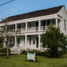
John M. and Lottie D. Moore House
United States of America

John M. and Lottie D. Moore House

24.1 mi
Giant Skyrocket
United States of America

Giant Skyrocket

23.2 mi
Lamar–Calder House
United States of America

Lamar–Calder House

23.8 mi
Alden B. Dow Office and Lake Jackson City Hall
United States of America

Alden B. Dow Office and Lake Jackson City Hall

21.5 mi
Ammon Underwood House
United States of America

Ammon Underwood House

17.5 mi
1940 Air Terminal Museum

1940 Air Terminal Museum

22.9 mi
The Club at Riverstone
United States of America

The Club at Riverstone

15.8 mi
Nature Discovery Center
United States of America

Nature Discovery Center

24.1 mi
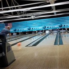
Ten Pin Entertainment
United States of America

Ten Pin Entertainment

14 mi
Fort Bend County Courthouse
United States of America

Fort Bend County Courthouse

24.1 mi
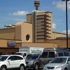
Bellaire Theatre
United States of America

Bellaire Theatre

24.5 mi
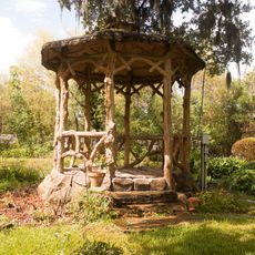
Gazebo for James Richard Marmion
United States of America

Gazebo for James Richard Marmion

24.2 mi
Show the full map
Reviews
Share your experience

No review yet

Discussions
Start a discussion...

No discussion yet

« Rosharon - Census-designated place in Brazoria County, Texas » is provided by Around Us (aroundus.com). Images and texts are derived from Wikimedia project under a Creative Commons license. You are allowed to copy, distribute, and modify copies of this page, under the conditions set by the license, as long as this note is clearly visible.

Discover hidden gems everywhere you go!

From secret cafés to breathtaking viewpoints, skip the crowded tourist spots and find places that match your style. Our app makes it easy with voice search, smart filtering, route optimization, and insider tips from travelers worldwide. Download now for the complete mobile experience.
Around Us App Screenshot

A unique approach to discovering new places

Le Figaro

All the places worth exploring

France Info

A tailor-made excursion in just a few clicks

20 Minutes

Around Us
Travel Guide & Maps
Download

Send to your phone

QR Code
1

Open the camera app on your mobile.

2

Point at the QR code with your camera. A notification will appear.

3

Tap the notification to open the link.