El Camino Real de los Tejas National Historic Trail, National historic trail from Texas to Louisiana, United States.
El Camino Real de los Tejas is a historic corridor stretching 2580 miles (4150 kilometers) through Texas and Louisiana, linking colonial pathways with modern roads. The route crosses pine forests, prairie land, and small towns, with interpretive signs and preserved trail segments marking the original alignment.
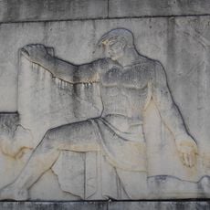
Spanish governor Alonso de León forged the first connections through this wilderness between 1686 and 1690 to reach missions in East Texas. The pathway expanded over centuries, eventually linking Mexican provinces with French trading posts in Louisiana.
The route follows paths used by indigenous communities centuries before Spanish arrival. These connections later enabled exchange between missions, ranches, and early Texan settlements, whose descendants still live throughout the region today.
Visitors can follow the alignment along Texas Highway 21 and Louisiana Highway 6, where interpretive centers provide background information. Most segments remain accessible year-round, though some rural stretches may become difficult to navigate during rainy weather.
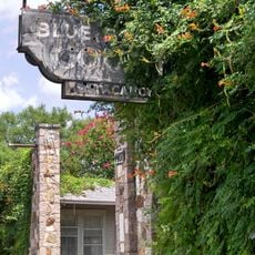
Granite stones placed by the Daughters of the American Revolution stand every five miles along preserved segments, marking river crossings and old resting points. Some of these markers now sit in private yards or along abandoned country roads, showing how the landscape has shifted over centuries.
The community of curious travelers
AroundUs brings together thousands of curated places, local tips, and hidden gems, enriched daily by 60,000 contributors worldwide.