Montgomery County

Log in to your account

AroundUs is a community-driven map of interesting places, built by curious explorers like you. It grows with every review, story, and photo you share.
Connect to save your favorite spots, contribute locations, and create personalized routes.
By continuing, you accept our Terms and Conditions and our Privacy Policy
Add to collection
Map
Suggest a change
Share

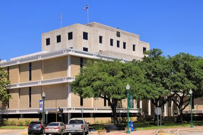
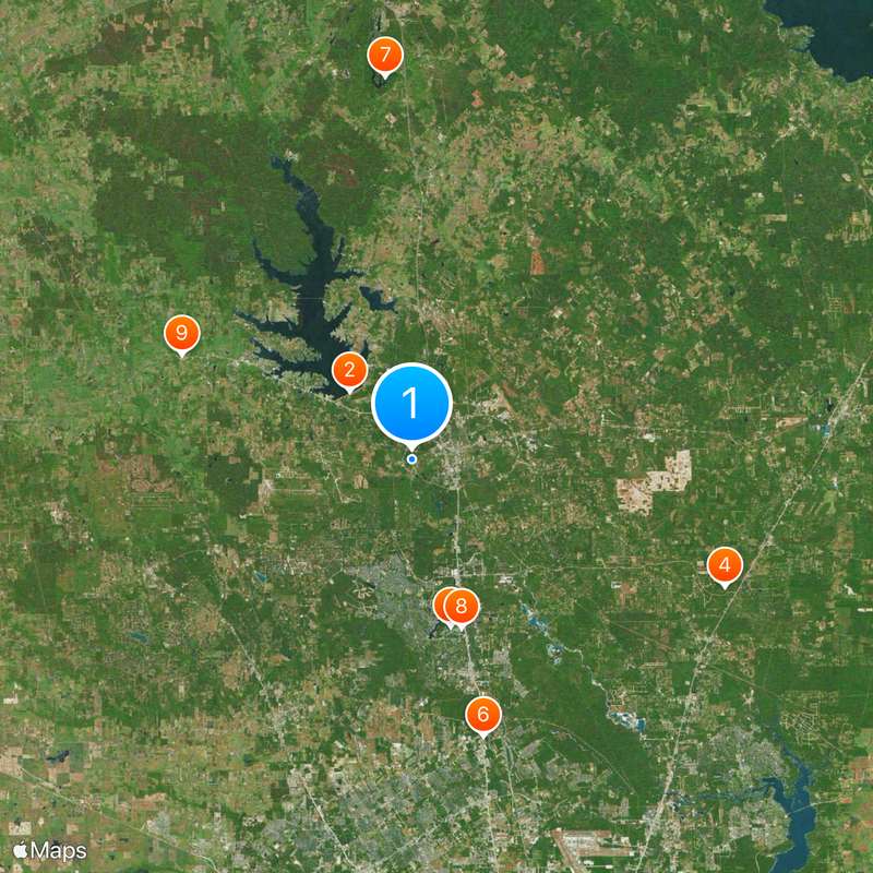
Montgomery County, Administrative county in Southeast Texas, US

Montgomery County is an administrative division in Southeast Texas covering roughly 1.080 square miles with a mix of residential zones, commercial centers, and forested areas. The landscape shifts from flat plains to rolling hills, with numerous lakes and waterways shaping the terrain across the region.

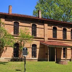
The Congress of the Republic of Texas created this administrative unit on December 14, 1837, naming it after the town of Montgomery, one of the earliest settlements in the area. Population growth accelerated sharply in the second half of the 20th century, transforming the region.

The county population includes a mix of communities, with 59.86% non-Hispanic white, 26.45% Hispanic, and significant Black and Asian populations as of 2020.

The official web portal provides access to services such as tax information, voter registration, and court records, available from any location with internet. Some administrative tasks still require a visit to offices located in the incorporated cities and towns across the territory.

Between 2000 and 2010, the area recorded a population increase of roughly 55 percent, making it one of the fastest-growing territories in the United States. This rapid shift transformed many communities, bringing new residential developments and commercial zones across previously rural areas.

Location: Texas

Inception: 1837

Capital city: Conroe

Shares border with: Walker County, San Jacinto County, Liberty County, Harris County, Waller County, Grimes County

Website: http://co.montgomery.tx.us

GPS coordinates: 30.30000,-95.50000

Latest update: December 13, 2025 18:18

Photos
Around this place
Lake Conroe
United States of America

Lake Conroe

8.6 km
Cynthia Woods Mitchell Pavilion
United States of America

Cynthia Woods Mitchell Pavilion

15.8 km
Grand Texas Theme Park
United States of America

Grand Texas Theme Park

31.1 km
SplashTown Houston
United States of America

SplashTown Houston

26.4 km
Hanna–Barbera Land
United States of America

Hanna–Barbera Land

26.4 km
Huntsville State Park
United States of America

Huntsville State Park

35.5 km
Anadarko Tower
United States of America

Anadarko Tower

16.2 km
Montgomery High School
United States of America

Montgomery High School

23.4 km
The Woodlands Resort
United States of America

The Woodlands Resort

17.7 km
Mercer Arboretum and Botanic Gardens
United States of America

Mercer Arboretum and Botanic Gardens

31.3 km
Big Rivers Waterpark
United States of America

Big Rivers Waterpark

31 km
Main Street Crossing
United States of America

Main Street Crossing

25.1 km
Hindu Temple of The Woodlands
United States of America

Hindu Temple of The Woodlands

14 km
TPC at The Woodlands
United States of America

TPC at The Woodlands

17.8 km
Oil Ranch
United States of America

Oil Ranch

37.6 km
Little Lake Creek Wilderness
United States of America

Little Lake Creek Wilderness

29.6 km
Mercer Arboretum
United States of America

Mercer Arboretum

31.3 km
Houston Karting Complex
United States of America

Houston Karting Complex

9.5 km
ALPHA Academy
United States of America

ALPHA Academy

26.9 km
San Jacinto County Jail
United States of America

San Jacinto County Jail

48.5 km
Spring Creek Park
United States of America

Spring Creek Park

26.3 km
Lake Woodlands
United States of America

Lake Woodlands

15.3 km
Wunsche Bros. Saloon and Hotel
United States of America

Wunsche Bros. Saloon and Hotel

25.8 km
San Jacinto County Courthouse
United States of America

San Jacinto County Courthouse

48.3 km
Rose Hill United Methodist Church
United States of America

Rose Hill United Methodist Church

32.6 km
State Highway 35 Bridge at the West Fork of the San Jacinto River
United States of America

State Highway 35 Bridge at the West Fork of the San Jacinto River

38.3 km
Andrews Lake
United States of America

Andrews Lake

29.4 km
Johnson Bluff
United States of America

Johnson Bluff

21.1 km
Show the full map
Reviews

Visited this place? Tap the stars to rate it and share your experience / photos with the community! Try now! You can cancel it anytime.

Administrative divisions
« Montgomery County - Administrative county in Southeast Texas, US » is provided by Around Us (aroundus.com). Images and texts are derived from Wikimedia project under a Creative Commons license. You are allowed to copy, distribute, and modify copies of this page, under the conditions set by the license, as long as this note is clearly visible.

Discover hidden gems everywhere you go!

From secret cafés to breathtaking viewpoints, skip the crowded tourist spots and find places that match your style. Our app makes it easy with voice search, smart filtering, route optimization, and insider tips from travelers worldwide. Download now for the complete mobile experience.

Around Us App Screenshot

A unique approach to discovering new places

Le Figaro

All the places worth exploring

France Info

A tailor-made excursion in just a few clicks

20 Minutes