Sabine Lake, Saltwater estuary at Texas-Louisiana border, United States
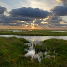
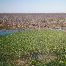
Sabine Lake is a brackish estuary on the Texas-Louisiana border, where the Neches and Sabine rivers empty into the Gulf of Mexico. The water body sits between the two states and functions as a shared resource for both.
Native peoples lived along these shores for centuries and left traces that archaeologists have found at several points along the coast. When European settlers arrived, the water became a natural boundary that eventually turned into the official state line.
Sabine Lake and its surrounding marshland are popular for fishing trips, as German sources note. The lake's name comes from the Sabine River, which forms it together with the Neches. Legends persist that the pirate Jean Laffite, who smuggled slaves through the lake around 1810, left buried gold along its shores.
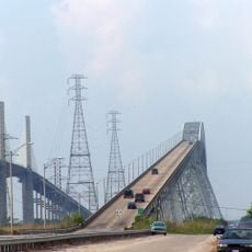
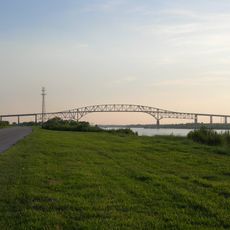
The Martin Luther King Bridge, also called the Gulfgate Bridge, crosses the Sabine–Neches Canal to link Port Arthur with Pleasure Island; the Sabine Causeway then carries traffic from the island to the Louisiana shore. The lake's natural depth is at most about 10 feet (3 m), while the dredged ship channels exceed 40 feet (12 m), so small craft should keep to marked channels.
The lake's small size and heavy freshwater inflow make it the least saline of Texas's seven major estuaries. Its upper reaches were almost entirely fresh before twentieth-century channelization, which has since allowed saltwater to push further in, especially when river inflow is low.
The community of curious travelers
AroundUs brings together thousands of curated places, local tips, and hidden gems, enriched daily by 94,467 contributors worldwide.