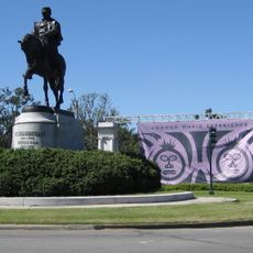
Bayou Metairie, Natural bayou in New Orleans, United States.
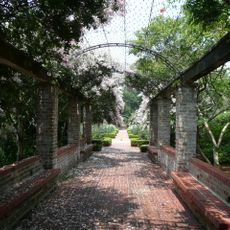
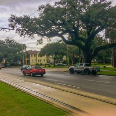
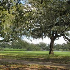
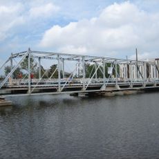
Bayou Metairie is a waterway that flows through New Orleans and Jefferson Parish, connecting lakes, wetlands, and green spaces with thick vegetation throughout the landscape. This natural formation shapes the area and creates sections where water and trees are clearly visible.
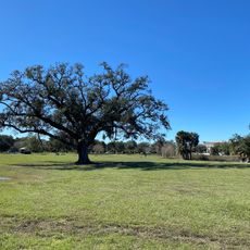
About 2600 years ago, the Mississippi River flowed through this area and left behind raised banks from sediment deposits before changing its course. This ancient riverbed shaped the landscape and later influenced where people settled in New Orleans.
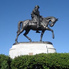
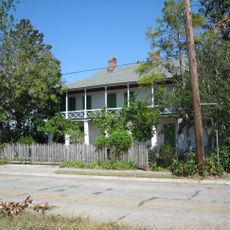
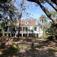
The bayou and its ridge became significant routes for early settlers, farmers, and indigenous communities who established homesteads along its fertile banks.
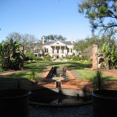
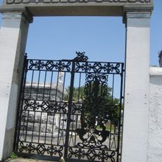
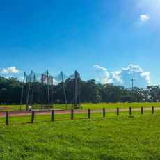
Visitors can discover remnants of the original bayou system throughout parts of New Orleans City Park and lower sections, where walking paths and viewing areas are accessible. These green spaces offer good access points to explore the waterway and its surroundings.
The waterway created a natural ridge up to 7 feet high and about 1 mile wide, an unusual land formation that shaped how early New Orleans developed. This raised ground provided dry land in a swampy region, which is why the first residents built their homes nearby.
The community of curious travelers
AroundUs brings together thousands of curated places, local tips, and hidden gems, enriched daily by 60,000 contributors worldwide.