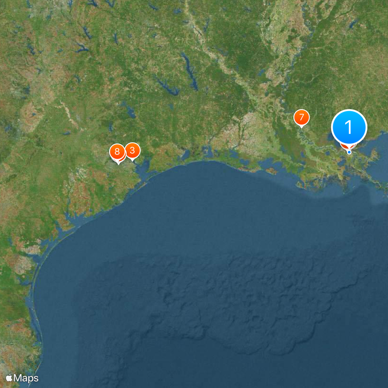
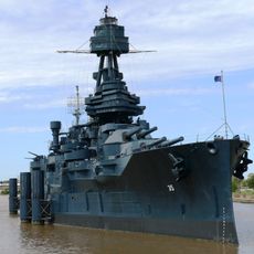
Gulf Intracoastal Waterway, Commercial waterway from Florida to Texas, United States.
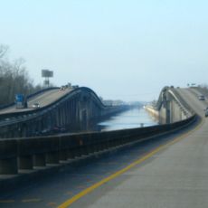
The Gulf Intracoastal Waterway is a 1,300-mile navigation route combining artificial and natural channels along the Gulf Coast, connecting major ports from Florida to Texas. The waterway maintains a depth of about 12 feet and serves commercial cargo vessels, tankers, and recreational boats.
Development of this federal navigation channel began in 1949 to provide protected routes for growing post-war maritime trade. Gradual expansion and improvements over decades enhanced the system to accommodate increasingly larger vessels.
The waterway system influences maritime traditions across five Gulf states, supporting generations of commercial mariners and recreational boaters through established navigation practices.
Navigation is marked by yellow triangles indicating starboard and yellow squares marking port, measured from Harvey Lock in New Orleans. Boaters should familiarize themselves with local conditions and tides in different sections, as circumstances can shift with the seasons.
The system operates with seven locks, five located in Louisiana and two in Texas, to regulate water levels between different sections of the channel. These structures are crucial for managing elevation changes and allow vessels to navigate between river sections with varying conditions.
The community of curious travelers
AroundUs brings together thousands of curated places, local tips, and hidden gems, enriched daily by 60,000 contributors worldwide.