Jefferson Davis Parish

Log in to your account

AroundUs is a community-driven map of interesting places, built by curious explorers like you. It grows with every review, story, and photo you share.
Connect to save your favorite spots, contribute locations, and create personalized routes.
Continue with Google
Continue with Apple
Continue with X
Continue with Facebook
Continue with email
By continuing, you accept our Terms and Conditions and our Privacy Policy
Create an account
Add to collection
Map
Suggest a change
Share

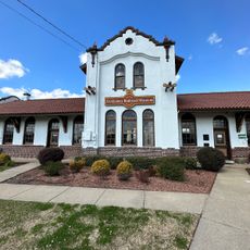
Jefferson Davis Parish, Administrative division in southwestern Louisiana, United States

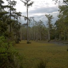
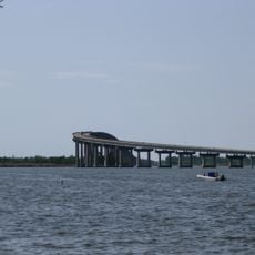
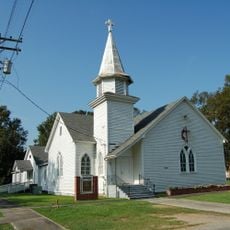
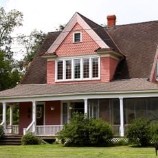
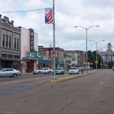
Jefferson Davis Parish is an administrative division in southwestern Louisiana, stretching across flat rural land between Houston and New Orleans along the Interstate-10 corridor. The area is shaped mainly by agriculture, with scattered towns and industrial facilities.

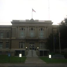
The area was established in 1912 after separating from Imperial Calcasieu Parish. It took its name from the Confederate States President during the American Civil War.

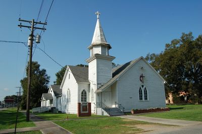
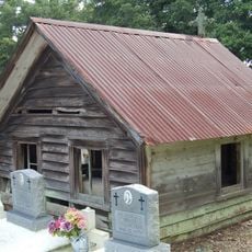
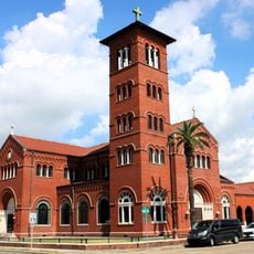
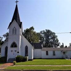
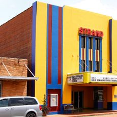
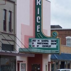
Local restaurants throughout the parish serve traditional Cajun cooking, and yearly festivals celebrate the region's food, music, and customs. These events show how the community keeps its heritage and culinary traditions alive.

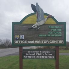
The best time to explore is during the yearly festivals when communities come alive with food and music offerings. As a visitor, keep in mind that the area is heavily agricultural and follows a small-town rhythm.

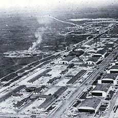
The area is home to a large industrial park featuring a cotton-spinning mill that processes millions of pounds of cotton yearly. This facility is a major employer and shows how agriculture and industry mix in the region.

Location: Louisiana

Inception: 1912

Capital city: Jennings

Shares border with: Cameron Parish, Allen Parish, Evangeline Parish, Acadia Parish, Vermilion Parish, Calcasieu Parish, Beauregard Parish

Website: https://jeffdavis.org

GPS coordinates: 30.24250,-92.67333

Latest update: December 7, 2025 10:06

Photos
Around this place
Calcasieu River Bridge
United States of America

Calcasieu River Bridge

55.1 km
Capital One Tower
United States of America

Capital One Tower

52.6 km
Cowboy Stadium
United States of America

Cowboy Stadium

52.2 km
Sam Houston Jones State Park
United States of America

Sam Houston Jones State Park

56.7 km
Israel LaFleur Bridge
United States of America

Israel LaFleur Bridge

58.6 km
Cameron Prairie National Wildlife Refuge
United States of America

Cameron Prairie National Wildlife Refuge

68.2 km
Lacassine National Wildlife Refuge
United States of America

Lacassine National Wildlife Refuge

36.7 km
Istre Cemetery Grave Houses
United States of America

Istre Cemetery Grave Houses

17.6 km
Cathedral of the Immaculate Conception
United States of America

Cathedral of the Immaculate Conception

52.3 km
Gerstner Field
United States of America

Gerstner Field

41.6 km

Elton United Methodist Church
United States of America

Elton United Methodist Church

26.4 km
All Saints Episcopal Church
United States of America

All Saints Episcopal Church

76.8 km
Hebert House
United States of America

Hebert House

26 km
Joseph D. Bernard House
United States of America

Joseph D. Bernard House

38.8 km
Jennings Carnegie Public Library
United States of America

Jennings Carnegie Public Library

2 km
Calkins-Orvis House
United States of America

Calkins-Orvis House

14.5 km
Crowley Historic District
United States of America

Crowley Historic District

29.3 km
Strand Theatre
United States of America

Strand Theatre

2.5 km
Allen Parish Courthouse
United States of America

Allen Parish Courthouse

43 km
More Mileage Gas Station
United States of America

More Mileage Gas Station

2.4 km
Bank of Gueydan
United States of America

Bank of Gueydan

28.8 km
S.A. Pennington House
United States of America

S.A. Pennington House

26.4 km
Angelus
United States of America

Angelus

2.2 km
The Children's Museum of Southwest Louisiana
United States of America

The Children's Museum of Southwest Louisiana

53.3 km
DeQuincy Railroad Museum
United States of America

DeQuincy Railroad Museum

76.8 km
Rice Theatre
United States of America

Rice Theatre

29.1 km
Liberty Center for the Performing Arts
United States of America

Liberty Center for the Performing Arts

37.3 km
Show the full map
Reviews

Visited this place? Tap the stars to rate it and share your experience / photos with the community! Try now! You can cancel it anytime.

« Jefferson Davis Parish - Administrative division in southwestern Louisiana, United States » is provided by Around Us (aroundus.com). Images and texts are derived from Wikimedia project under a Creative Commons license. You are allowed to copy, distribute, and modify copies of this page, under the conditions set by the license, as long as this note is clearly visible.

Discover hidden gems everywhere you go!

From secret cafés to breathtaking viewpoints, skip the crowded tourist spots and find places that match your style. Our app makes it easy with voice search, smart filtering, route optimization, and insider tips from travelers worldwide. Download now for the complete mobile experience.

Around Us App Screenshot

A unique approach to discovering new places

Le Figaro

All the places worth exploring

France Info

A tailor-made excursion in just a few clicks

20 Minutes