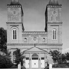
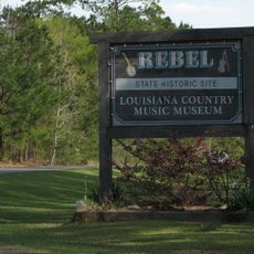
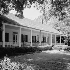
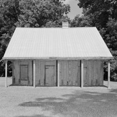
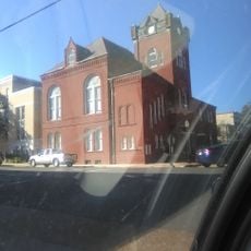
Winn Parish, Administrative division in central Louisiana, United States
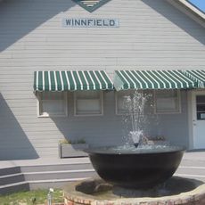
Winn Parish is an administrative division in central Louisiana spanning roughly 957 square miles of land. It contains five incorporated municipalities with Winnfield serving as the parish seat.
Winn Parish was established on February 24, 1852, formed from territories previously part of Catahoula, Natchitoches, and Rapides parishes. Its creation marked an important administrative expansion across central Louisiana.
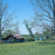
Agriculture shapes daily life here, with community events bringing farmers and residents together to share knowledge and discuss farming practices. This connection to the land influences how people interact and organize their activities.
Multiple highways, including U.S. Routes 71, 84, and 167, connect the various communities within the parish to each other and surrounding regions. These routes make it easy to travel between the different municipalities and nearby areas.
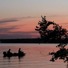
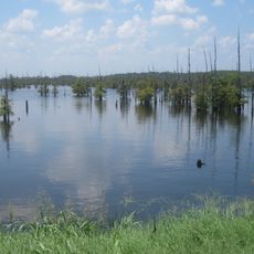
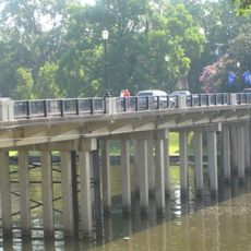
Saline Bayou, which borders the parish, was the first blackwater protected waterway established in the American South. This designation reflected early conservation efforts specific to the region's natural systems.
GPS coordinates: 31.94729,-92.64018
Latest update: December 7, 2025 20:40
Melrose Plantation
49.5 km
Magnolia Plantation
52.6 km
Cane River Creole National Historical Park
46.5 km
Louisiana Political Museum and Hall of Fame
2.3 km
Oaklawn Plantation
46.8 km
Jimmie Davis State Park
40.2 km
Oakland Plantation
46.6 km
Black Lake
38.4 km
Harry Turpin Stadium
48.5 km
Fort St. Jean Baptiste State Historic Site
47.6 km
Kate Chopin House
52.3 km
Basilica of the Immaculate Conception
47.1 km
Rebel State Historic Site
47.6 km
Natchitoches Historic District
47.8 km
Narcisse Prudhomme Plantation
46.7 km
Badin-Roque House
49.7 km
Old Courthouse Museum
47.1 km
Jones House
50.7 km
Schepis Building
56.5 km
Fort St. Jean Baptiste
47.5 km
Davis Springs Methodist Church
49.3 km
Port of Natchitoches
43 km
Natchitoches Parish Library
44.9 km
Bank of Winnfield
2.3 km
Bank of Montgomery Washington Street Branch
46.9 km
A. Leonard Allen Municipal Building
2.3 km
Church Street Bridge
46.9 km
Normal Hill Historic District
48.3 kmVisited this place? Tap the stars to rate it and share your experience / photos with the community! Try now! You can cancel it anytime.
Discover hidden gems everywhere you go!
From secret cafés to breathtaking viewpoints, skip the crowded tourist spots and find places that match your style. Our app makes it easy with voice search, smart filtering, route optimization, and insider tips from travelers worldwide. Download now for the complete mobile experience.
A unique approach to discovering new places❞
— Le Figaro
All the places worth exploring❞
— France Info
A tailor-made excursion in just a few clicks❞
— 20 Minutes