Natchitoches Historic District

Log in to your account

AroundUs is a community-driven map of interesting places, built by curious explorers like you. It grows with every review, story, and photo you share.
Connect to save your favorite spots, contribute locations, and create personalized routes.
Continue with Google
Continue with Apple
Continue with X
Continue with Facebook
Continue with email
By continuing, you accept our Terms and Conditions and our Privacy Policy
Create an account
Add to collection
Map
Suggest a change
Share

Natchitoches Historic District, Historic district in Natchitoches, US.

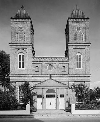
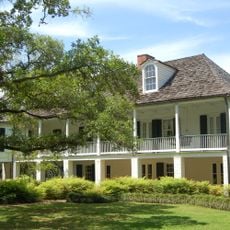
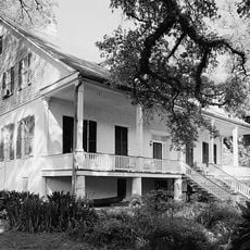
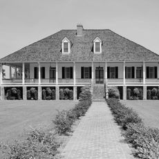
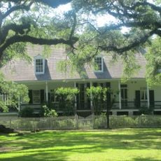
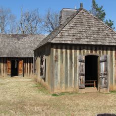
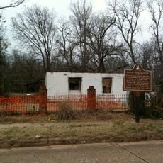
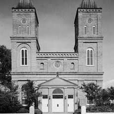
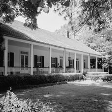
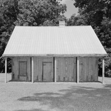
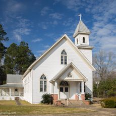
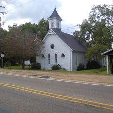
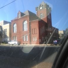
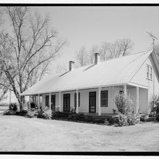
Natchitoches Historic District is a downtown area containing over 200 historic structures spread across about 33 blocks that line the banks of an old river channel. The buildings date from different periods and display various architectural styles ranging from colonial times to the early 1900s.

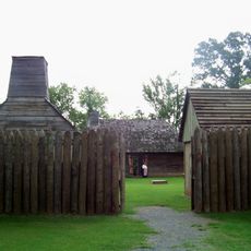
The area was founded in 1714 by French explorers and grew as a trading post where French, Spanish, and Native Americans conducted commerce. Over subsequent decades, control shifted between different powers, which influenced the architectural styles visible in the buildings that remain today.

The buildings display a blend of French colonial construction methods and Victorian styles that you can see in the facades and details of the houses. This mix reflects the different communities that shaped the town over time.

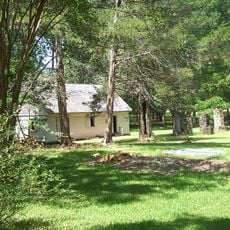
The best way to explore the area is on foot since the buildings are clustered close together and easily accessible by walking. Many houses and museums are located on or very near the main street, making navigation straightforward.

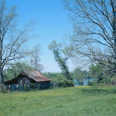
During the 1800s, the river shifted its course and left the town center beside an abandoned waterway, which protected many old buildings from modern changes. This geographical isolation allowed structures from the 1700s to survive in ways they would not have elsewhere.

Location: Natchitoches

GPS coordinates: 31.75430,-93.09210

Latest update: December 14, 2025 15:01

Photos
Around this place
Melrose Plantation
United States of America

Melrose Plantation

20.9 km
Magnolia Plantation
United States of America

Magnolia Plantation

26.9 km
Los Adaes
United States of America

Los Adaes

19.7 km
Cane River Creole National Historical Park
United States of America

Cane River Creole National Historical Park

13 km
Oaklawn Plantation
United States of America

Oaklawn Plantation

12.1 km
Fort Jesup
United States of America

Fort Jesup

33.3 km
Oakland Plantation
United States of America

Oakland Plantation

13 km
Black Lake
United States of America

Black Lake

23 km
Harry Turpin Stadium
United States of America

Harry Turpin Stadium

876 m
Fort St. Jean Baptiste State Historic Site
United States of America

Fort St. Jean Baptiste State Historic Site

469 m
Kate Chopin House
United States of America

Kate Chopin House

29 km
Basilica of the Immaculate Conception
United States of America

Basilica of the Immaculate Conception

874 m
Rebel State Historic Site
United States of America

Rebel State Historic Site

735 m
Narcisse Prudhomme Plantation
United States of America

Narcisse Prudhomme Plantation

12.2 km
Badin-Roque House
United States of America

Badin-Roque House

20.3 km
Church of St. Anne
United States of America

Church of St. Anne

18.7 km
Robeline Methodist Church
United States of America

Robeline Methodist Church

21.3 km
Old Courthouse Museum
United States of America

Old Courthouse Museum

859 m
Jones House
United States of America

Jones House

22.7 km
Cheveron
United States of America

Cheveron

1.9 km
Fort St. Jean Baptiste
United States of America

Fort St. Jean Baptiste

462 m
Shop Rite
United States of America

Shop Rite

868 m
Port of Natchitoches
United States of America

Port of Natchitoches

8.7 km
Natchitoches Parish Library
United States of America

Natchitoches Parish Library

15.4 km
Davis Springs Methodist Church
United States of America

Davis Springs Methodist Church

23.6 km
Bank of Montgomery Washington Street Branch
United States of America

Bank of Montgomery Washington Street Branch

1.2 km
Church Street Bridge
United States of America

Church Street Bridge

971 m
Normal Hill Historic District
United States of America

Normal Hill Historic District

459 m
Show the full map
Reviews

Visited this place? Tap the stars to rate it and share your experience / photos with the community! Try now! You can cancel it anytime.

« Natchitoches Historic District - Historic district in Natchitoches, US » is provided by Around Us (aroundus.com). Images and texts are derived from Wikimedia project under a Creative Commons license. You are allowed to copy, distribute, and modify copies of this page, under the conditions set by the license, as long as this note is clearly visible.

Discover hidden gems everywhere you go!

From secret cafés to breathtaking viewpoints, skip the crowded tourist spots and find places that match your style. Our app makes it easy with voice search, smart filtering, route optimization, and insider tips from travelers worldwide. Download now for the complete mobile experience.

Around Us App Screenshot

A unique approach to discovering new places

Le Figaro

All the places worth exploring

France Info

A tailor-made excursion in just a few clicks

20 Minutes