Chest opened
+${chestReward.xp} XP
Explorer
NOUVEAU ×${chestReward.collectible.quantity}
tapez pour fermer
Chest locked

Open chests in the app

Around Us is built for your phone — chests unlock when you walk, explore and capture nearby places.

Enable Location

We need your location to show you interesting places around you

Discover nearby places

Find interesting locations and hidden gems around you

Precise directions

Get accurate directions and distances to places

Your location is never shared with other users. It's only used when you tap the location button.

Many

Log in to your account

Start exploring — it's free

Trusted by 72,874 travelers worldwide

Continue with Google
Continue with Apple
or

We will send you a code to connect

By continuing, you accept our Terms and Conditions and our Privacy Policy

Check your inbox

We've sent a pincode in your inbox. Please enter the code below.

Discussion Reviews 1 Photos
17k Popularity

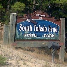
Many, Administrative division in Louisiana, United States.

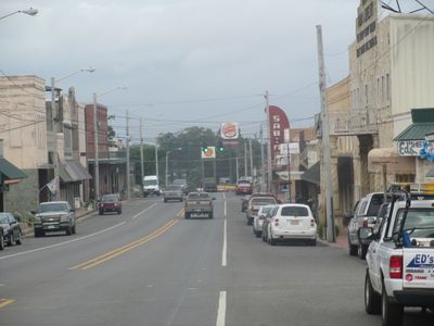
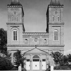
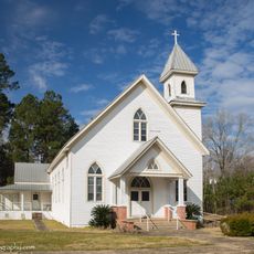
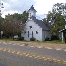
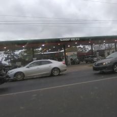
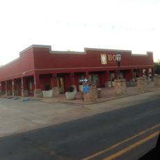
Many is a town in Sabine Parish in southern Louisiana that functions as a local administrative center for the surrounding area. The town manages public services and coordinates matters affecting the daily lives of local residents.

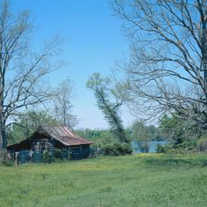
Many was founded to serve as the administrative seat of Sabine Parish and developed into a center of local governance in the region. The town emerged as part of Louisiana's expansion period in the 1800s.

The administrative functions of Many contribute to the organization of local events, services, and community programs for residents in this part of Louisiana.

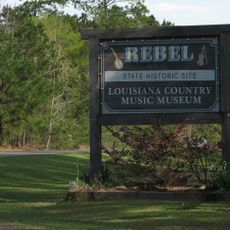
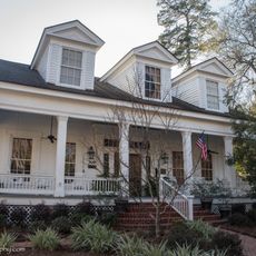
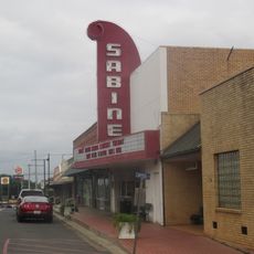
The town can be easily located using mapping technology and local signage and is accessible via main roads. Visitors will find basic services and local shops that meet everyday needs.

The administrative boundaries of Many encompass specific jurisdictional areas that determine local governance responsibilities and service provision zones.

The community of curious travelers

AroundUs brings together thousands of curated places, local tips, and hidden gems, enriched daily by 60,000 contributors worldwide.

Start exploring
GPS coordinates
31.56838,-93.48406
Latest update
December 7, 2025 19:25
Around this place
Toledo Bend Reservoir
United States of America

Toledo Bend Reservoir

42.2 km
Los Adaes
United States of America

Los Adaes

23.9 km
Hodges Gardens State Park
United States of America

Hodges Gardens State Park

22.9 km
Cane River Creole National Historical Park
United States of America

Cane River Creole National Historical Park

46.9 km
Oaklawn Plantation
United States of America

Oaklawn Plantation

46.2 km
Fort Jesup
United States of America

Fort Jesup

9.2 km
Oakland Plantation
United States of America

Oakland Plantation

46.8 km
South Toledo Bend State Park
United States of America

South Toledo Bend State Park

40.9 km
Harry Turpin Stadium
United States of America

Harry Turpin Stadium

41.8 km
Fort St. Jean Baptiste State Historic Site
United States of America

Fort St. Jean Baptiste State Historic Site

42.8 km
North Toledo Bend State Park
United States of America

North Toledo Bend State Park

23.7 km
Basilica of the Immaculate Conception
United States of America

Basilica of the Immaculate Conception

43.3 km
Rebel State Historic Site
United States of America

Rebel State Historic Site

42.7 km
Natchitoches Historic District
United States of America

Natchitoches Historic District

42.5 km
Narcisse Prudhomme Plantation
United States of America

Narcisse Prudhomme Plantation

46.3 km
Badin-Roque House
United States of America

Badin-Roque House

48.6 km
Church of St. Anne
United States of America

Church of St. Anne

30.6 km
Robeline Methodist Church
United States of America

Robeline Methodist Church

21.8 km
Gaines–Oliphint House
United States of America

Gaines–Oliphint House

28.2 km
Old Courthouse Museum
United States of America

Old Courthouse Museum

43.2 km
Guy House
United States of America

Guy House

48.3 km
Sabine Theatre
United States of America

Sabine Theatre

26 m
Cheveron
United States of America

Cheveron

42.6 km
Fort St. Jean Baptiste
United States of America

Fort St. Jean Baptiste

42.8 km
Shop Rite
United States of America

Shop Rite

43.2 km
Bank of Montgomery Washington Street Branch
United States of America

Bank of Montgomery Washington Street Branch

43.5 km
Church Street Bridge
United States of America

Church Street Bridge

43.4 km
Normal Hill Historic District
United States of America

Normal Hill Historic District

42.1 km
Show the full map
Reviews
Share your experience

No review yet

Discussions
Start a discussion...

No discussion yet

« Many - Administrative division in Louisiana, United States » is provided by Around Us (aroundus.com). Images and texts are derived from Wikimedia project under a Creative Commons license. You are allowed to copy, distribute, and modify copies of this page, under the conditions set by the license, as long as this note is clearly visible.

Discover hidden gems everywhere you go!

From secret cafés to breathtaking viewpoints, skip the crowded tourist spots and find places that match your style. Our app makes it easy with voice search, smart filtering, route optimization, and insider tips from travelers worldwide. Download now for the complete mobile experience.

Around Us App Screenshot

A unique approach to discovering new places

Le Figaro

All the places worth exploring

France Info

A tailor-made excursion in just a few clicks

20 Minutes

Around Us
Travel Guide & Maps
Download

Send to your phone

QR Code
1

Open the camera app on your mobile.

2

Point at the QR code with your camera. A notification will appear.

3

Tap the notification to open the link.