Baton Rouge

Log in to your account

AroundUs is a community-driven map of interesting places, built by curious explorers like you. It grows with every review, story, and photo you share.
Connect to save your favorite spots, contribute locations, and create personalized routes.
Continue with Google
Continue with Apple
Continue with X
Continue with Facebook
Continue with email
By continuing, you accept our Terms and Conditions and our Privacy Policy
Create an account
Add to collection
Map
Suggest a change
Share

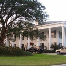
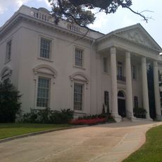
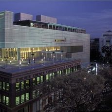
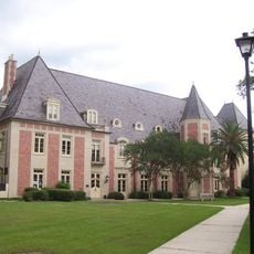
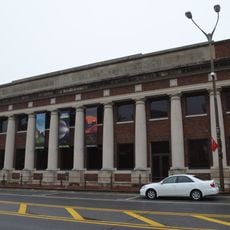
Baton Rouge, Capital city in Louisiana, United States

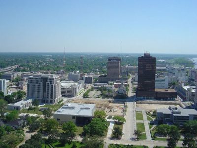
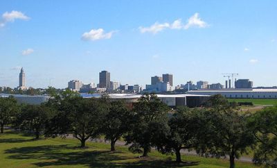
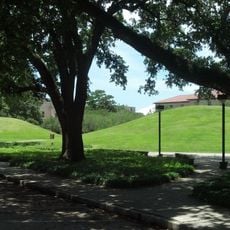
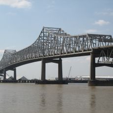
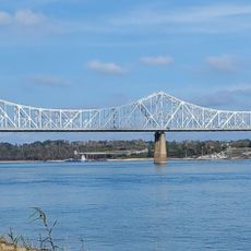
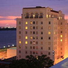
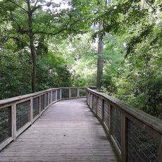
Baton Rouge sits on the eastern bank of the Mississippi at an elevation of 17 meters (56 feet), forming the second-largest metropolitan area in Louisiana. The city spreads across gentle hills and flat plains, with industrial facilities lining the riverfront and residential neighborhoods featuring shaded oak trees and public parks farther inland.

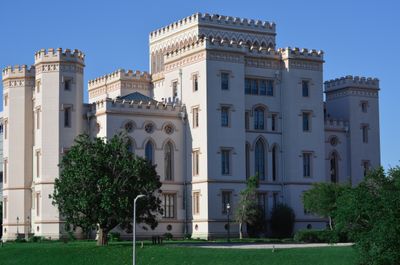
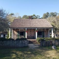
A French explorer established a trading post here in 1699, naming it after a red pole that local tribes used as a boundary marker. The settlement changed hands between French, British and Spanish control before becoming part of the United States in the early 1800s.

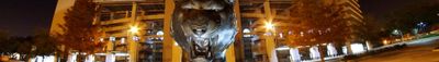
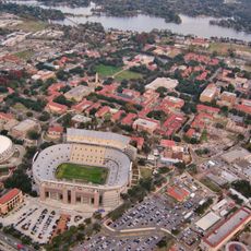
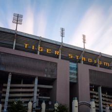
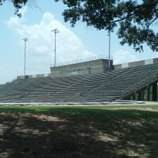
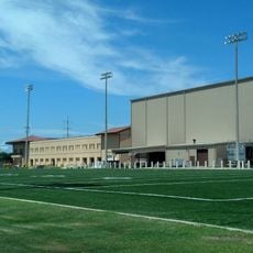
Neighborhood festivals bring residents together for live jazz and zydeco music on warm evenings, while restaurants serve gumbo and étouffée alongside fried catfish. Families gather at riverside parks on Sunday afternoons, and college football games fill stadiums with cheering crowds every fall weekend.

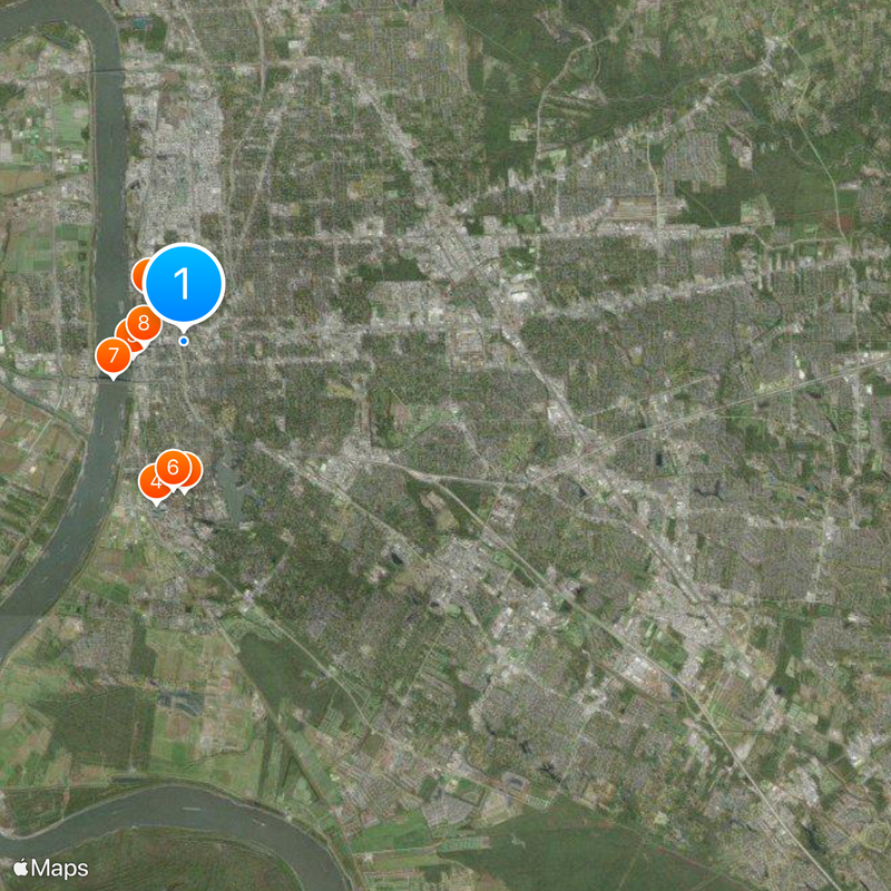
The airport sits about 15 kilometers (9 miles) north of downtown, while highways connect the city to New Orleans to the southeast and Lafayette to the west. Summer months bring frequent afternoon thunderstorms and high humidity, making light clothing and umbrellas useful for visitors.

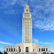
The city operates under a consolidated government where an elected mayor also serves as parish president, merging two layers of administration into one office. Refineries and petrochemical plants line the riverbank, operating around the clock and lighting up the night sky with yellow and orange glows.

Location: East Baton Rouge Parish

Inception: 1699

Elevation above the sea: 17 m

Shares border with: Alexandria

Website: https://brla.gov

GPS coordinates: 30.44750,-91.17861

Latest update: December 14, 2025 18:20

Photos
Historic sites of Baton Rouge: art deco capitol, colonial plantations, Louisiana museums

Baton Rouge preserves its history through several sites that showcase Louisiana's development. The State Capitol building, an art deco structure from 1932, towers over downtown at 140 meters high and offers a view of the Mississippi River and its surroundings from its observation deck. Nearby, the...

Around this place
Louisiana State University
United States of America

Louisiana State University

3.7 km
USS Kidd
United States of America

USS Kidd

1.3 km
Tiger Stadium
United States of America

Tiger Stadium

4 km
Louisiana State Capitol
United States of America

Louisiana State Capitol

1.4 km
LSU Campus Mounds
United States of America

LSU Campus Mounds

3.6 km
Horace Wilkinson Bridge
United States of America

Horace Wilkinson Bridge

1.9 km
Old Louisiana State Capitol
United States of America

Old Louisiana State Capitol

965 m
Louisiana Governor's Mansion
United States of America

Louisiana Governor's Mansion

1.3 km
Huey P. Long Bridge
United States of America

Huey P. Long Bridge

6.9 km
Blue Bayou and Dixie Landin'
United States of America

Blue Bayou and Dixie Landin'

18.6 km
Old Louisiana Governor's Mansion
United States of America

Old Louisiana Governor's Mansion

625 m
Hilton Baton Rouge Capitol Center
United States of America

Hilton Baton Rouge Capitol Center

1.1 km
Pentagon Barracks
United States of America

Pentagon Barracks

1.3 km
Pentagon Barracks Museum
United States of America

Pentagon Barracks Museum

1.4 km
LSU Football Operations Center
United States of America

LSU Football Operations Center

4.2 km
Shaw Center for the Arts
United States of America

Shaw Center for the Arts

998 m
LSU Rural Life Museum
United States of America

LSU Rural Life Museum

7.3 km
Memorial Tower
United States of America

Memorial Tower

3.7 km
BREC Memorial Stadium
United States of America

BREC Memorial Stadium

1.4 km
LSU Indoor Practice Facility
United States of America

LSU Indoor Practice Facility

4.3 km
Bluebonnet Swamp Nature Center
United States of America

Bluebonnet Swamp Nature Center

11.3 km
LSU Hilltop Arboretum
United States of America

LSU Hilltop Arboretum

12.9 km
Baton Rouge Louisiana Temple
United States of America

Baton Rouge Louisiana Temple

11.6 km
Catedral de San José
United States of America

Catedral de San José

940 m
Magnolia Cemetery
United States of America

Magnolia Cemetery

1.1 km
LSU Honors College
United States of America

LSU Honors College

4.1 km
Yazoo and Mississippi Valley Railroad Company Depot
United States of America

Yazoo and Mississippi Valley Railroad Company Depot

1.1 km
Baton Rouge National Cemetery
United States of America

Baton Rouge National Cemetery

1.1 km
Show the full map
Reviews

Visited this place? Tap the stars to rate it and share your experience / photos with the community! Try now! You can cancel it anytime.

« Baton Rouge - Capital city in Louisiana, United States » is provided by Around Us (aroundus.com). Images and texts are derived from Wikimedia project under a Creative Commons license. You are allowed to copy, distribute, and modify copies of this page, under the conditions set by the license, as long as this note is clearly visible.

Discover hidden gems everywhere you go!

From secret cafés to breathtaking viewpoints, skip the crowded tourist spots and find places that match your style. Our app makes it easy with voice search, smart filtering, route optimization, and insider tips from travelers worldwide. Download now for the complete mobile experience.

Around Us App Screenshot

A unique approach to discovering new places

Le Figaro

All the places worth exploring

France Info

A tailor-made excursion in just a few clicks

20 Minutes