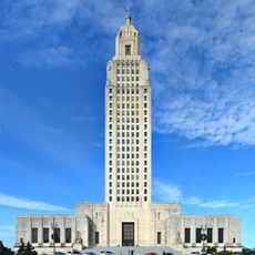
East Baton Rouge Parish, Administrative district in Louisiana, US
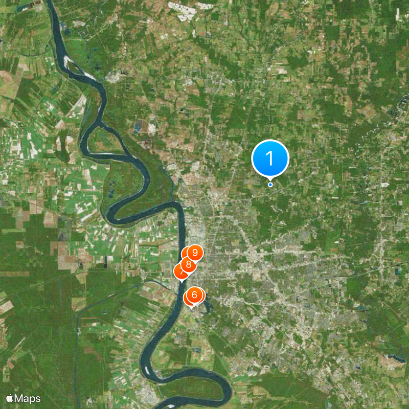
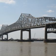
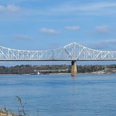
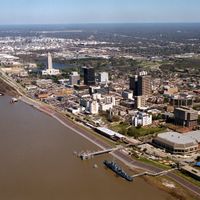
This administrative district sits along the Mississippi River and includes the state capital and several other communities within Louisiana. The area spans across multiple neighborhoods with a mix of urban centers and surrounding regions.
The name comes from a red marker pole that Native American tribes used to mark territorial boundaries between hunting grounds. French colonists adopted this geographical designation when they settled the region.
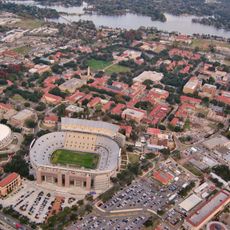
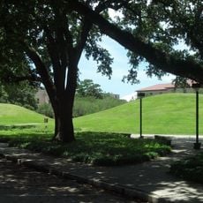
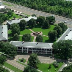
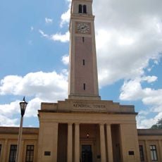
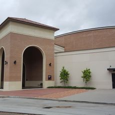
Two major universities shape the character of this place and influence how residents spend their time and what opportunities exist locally. The institutions draw students and families, creating a hub for learning and community engagement.
Getting around requires a vehicle since the area covers a large region with communities spread throughout. Main roads connect the different neighborhoods, making it straightforward to travel between major areas once you understand the basic layout.
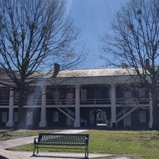
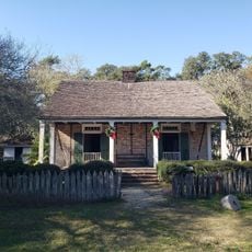
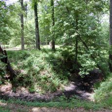
A barracks building from 1822 still stands in the area and once housed soldiers from both Union and Confederate forces during the Civil War. This structure offers a direct connection to a pivotal moment in American history that many visitors overlook.
The community of curious travelers
AroundUs brings together thousands of curated places, local tips, and hidden gems, enriched daily by 60,000 contributors worldwide.