Chest opened
+${chestReward.xp} XP
Explorer
NOUVEAU ×${chestReward.collectible.quantity}
tapez pour fermer
Chest locked

Open chests in the app

Around Us is built for your phone — chests unlock when you walk, explore and capture nearby places.

Enable Location

We need your location to show you interesting places around you

Discover nearby places

Find interesting locations and hidden gems around you

Precise directions

Get accurate directions and distances to places

Your location is never shared with other users. It's only used when you tap the location button.

False River

Log in to your account

Start exploring — it's free

Trusted by 72,882 travelers worldwide

Continue with Google
Continue with Apple
or

We will send you a code to connect

By continuing, you accept our Terms and Conditions and our Privacy Policy

Check your inbox

We've sent a pincode in your inbox. Please enter the code below.

False River
Discussion Reviews 1 Photos
10.1k Popularity

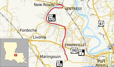
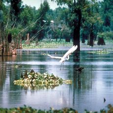
False River, Oxbow lake in Pointe Coupee Parish, Louisiana, United States.

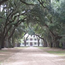
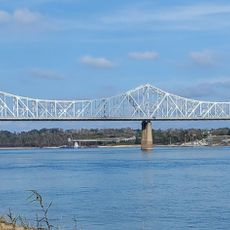
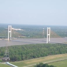
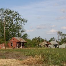
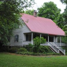
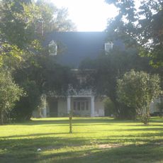
False River is an oxbow lake in Pointe Coupee Parish, Louisiana, formed by a curve of land and water that follows the old path of the Mississippi River. Its shores are flat and low, lined with small towns and open rural land on both sides.

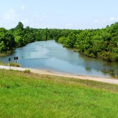
In 1722, the Mississippi River shifted course and left behind a curved stretch of water that was cut off from the main channel. That isolated body of water gradually became the lake that exists today.

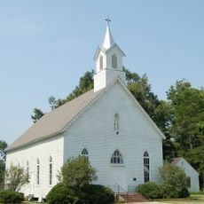
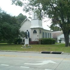
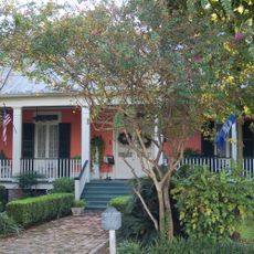
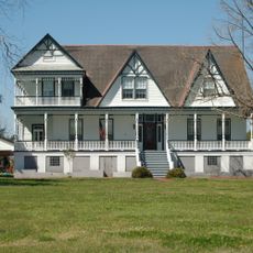
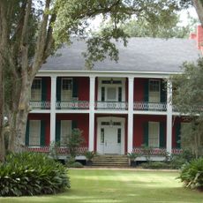
The name "False River" comes from the French "Fausse Rivière," because the water looks like a river but is actually a lake. Along the shore, small communities still organize much of their daily life around fishing and time spent near the water.

The lake can be reached from the road at several points along the shore, where boat launches and public fishing spots are available. Warmer months bring the most activity on the water, making that period a good time for a visit.

False River holds an unusually high number of striped bass, the result of deliberate restocking efforts carried out decades ago. This has made it a well-known spot among fishing enthusiasts from across the region.

The community of curious travelers

AroundUs brings together thousands of curated places, local tips, and hidden gems, enriched daily by 60,000 contributors worldwide.

Start exploring
Location
Elevation above the sea
10 m
GPS coordinates
30.63860,-91.48440
Latest update
March 3, 2026 08:21
Around this place
Rosedown Plantation
United States of America

Rosedown Plantation

20.6 km
Huey P. Long Bridge
United States of America

Huey P. Long Bridge

31.2 km
John James Audubon Bridge
United States of America

John James Audubon Bridge

15.9 km
Atchafalaya National Wildlife Refuge
United States of America

Atchafalaya National Wildlife Refuge

27 km
Parlange Plantation House
United States of America

Parlange Plantation House

931 m
Butler Greenwood Plantation
United States of America

Butler Greenwood Plantation

22.1 km
Cat Island National Wildlife Refuge
United States of America

Cat Island National Wildlife Refuge

17.1 km
Locust Grove State Historic Site
United States of America

Locust Grove State Historic Site

26.6 km
Afton Villa Gardens
United States of America

Afton Villa Gardens

25.4 km
LSU Gymnastics Training Facility
United States of America

LSU Gymnastics Training Facility

17.8 km
Port Hudson National Cemetery
United States of America

Port Hudson National Cemetery

20.3 km
Allendale Plantation
United States of America

Allendale Plantation

26 km
Krotz Springs Bridge
United States of America

Krotz Springs Bridge

27.4 km
Riverlake
United States of America

Riverlake

5.8 km
Poydras High School
United States of America

Poydras High School

7.6 km
St. Francis Chapel
United States of America

St. Francis Chapel

10.1 km
First National Bank
United States of America

First National Bank

7.7 km
Baker Presbyterian Church
United States of America

Baker Presbyterian Church

30.7 km
El Dorado Plantation
United States of America

El Dorado Plantation

14.2 km
Samson House
United States of America

Samson House

7.9 km
Smithfield Plantation
United States of America

Smithfield Plantation

21 km
Valverda Plantation
United States of America

Valverda Plantation

12.6 km
Church of the Nativity
United States of America

Church of the Nativity

21.8 km
Jean Baptiste Bergeron House
United States of America

Jean Baptiste Bergeron House

10.4 km
Austerlitz
United States of America

Austerlitz

2.1 km
Pointe Coupee Parish Courthouse
United States of America

Pointe Coupee Parish Courthouse

7.9 km
Southern University Historic District
United States of America

Southern University Historic District

30.3 km
Satterfield Motor Company Building
United States of America

Satterfield Motor Company Building

7.7 km
Show the full map
Reviews
Share your experience

No review yet

Discussions
Start a discussion...

No discussion yet

« False River - Oxbow lake in Pointe Coupee Parish, Louisiana, United States » is provided by Around Us (aroundus.com). Images and texts are derived from Wikimedia project under a Creative Commons license. You are allowed to copy, distribute, and modify copies of this page, under the conditions set by the license, as long as this note is clearly visible.

Discover hidden gems everywhere you go!

From secret cafés to breathtaking viewpoints, skip the crowded tourist spots and find places that match your style. Our app makes it easy with voice search, smart filtering, route optimization, and insider tips from travelers worldwide. Download now for the complete mobile experience.

Around Us App Screenshot

A unique approach to discovering new places

Le Figaro

All the places worth exploring

France Info

A tailor-made excursion in just a few clicks

20 Minutes

Around Us
Travel Guide & Maps
Download

Send to your phone

QR Code
1

Open the camera app on your mobile.

2

Point at the QR code with your camera. A notification will appear.

3

Tap the notification to open the link.