Chest opened
+${chestReward.xp} XP
Explorer
NOUVEAU ×${chestReward.collectible.quantity}
tapez pour fermer
Chest locked

Open chests in the app

Around Us is built for your phone — chests unlock when you walk, explore and capture nearby places.

Enable Location

We need your location to show you interesting places around you

Discover nearby places

Find interesting locations and hidden gems around you

Precise directions

Get accurate directions and distances to places

Your location is never shared with other users. It's only used when you tap the location button.

Log in to your account

Start exploring — it's free

Trusted by 73,035 travelers worldwide

Continue with Google
Continue with Apple
or

We will send you a code to connect

By continuing, you accept our Terms and Conditions and our Privacy Policy

Check your inbox

We've sent a pincode in your inbox. Please enter the code below.

Republic of Winston
Discussion Reviews Photo
22.4k Popularity

Republic of Winston, Historical territory in northwestern Alabama, United States.

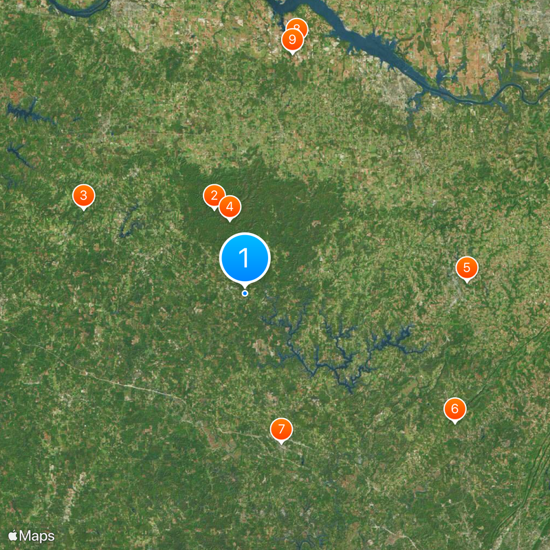
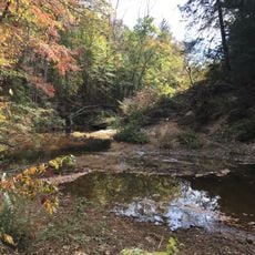
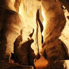
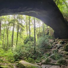
The Republic of Winston is a mountainous region in northwestern Alabama with rolling hills, gorges, and rock bluffs in the Appalachian foothills. The territory is covered by hardwood forests and crossed by rivers and streams that flow through this mountain landscape.

In 1861, residents gathered at a tavern to declare their neutrality during the war between North and South. This local decision led to the informal designation of the area as an independent republic.

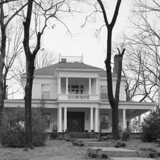
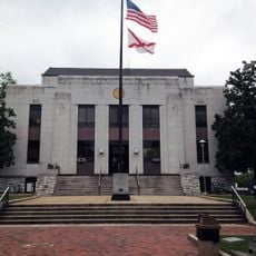
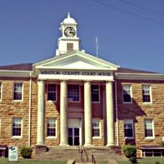
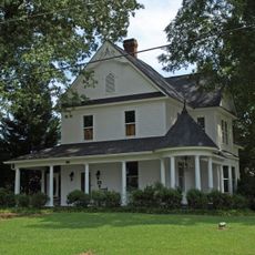
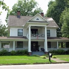
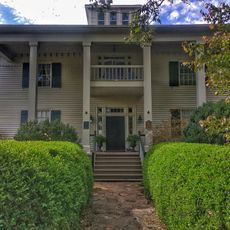
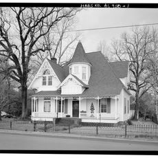
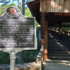
The region shows connections to its past as a territory that sought to remain neutral during the war between North and South. Visitors can see monuments today that reflect this stance and honor local choices made during that time.

The area is easily accessible for outdoor activities, with trails, camping areas, and waterways in the protected forests and wilderness zones. The best time to visit is spring or fall, when temperatures are mild and the forests display their seasonal colors.

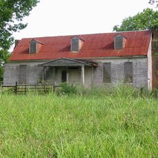
During the war, many soldiers who left their side found refuge in this area and hid in the forests and mountains. Their numbers were so large that they influenced the local population and shaped how residents dealt with the broader conflict.

The community of curious travelers

AroundUs brings together thousands of curated places, local tips, and hidden gems, enriched daily by 60,000 contributors worldwide.

Start exploring
Location
GPS coordinates
34.14917,-87.37472
Latest update
March 5, 2026 18:16
Around this place
Sipsey Wilderness
United States of America

Sipsey Wilderness

20.8 km
Dismals Canyon
United States of America

Dismals Canyon

42.3 km
William B. Bankhead National Forest
United States of America

William B. Bankhead National Forest

17.4 km
Ave Maria Grotto
United States of America

Ave Maria Grotto

51.5 km
Rickwood Caverns State Park
United States of America

Rickwood Caverns State Park

57.4 km
Bankhead House
United States of America

Bankhead House

35.7 km
Bride's Hill
United States of America

Bride's Hill

59.2 km
Joseph Wheeler Plantation
United States of America

Joseph Wheeler Plantation

56.7 km
Clarkson–Legg Covered Bridge
United States of America

Clarkson–Legg Covered Bridge

35.9 km
Boshell's Mill
United States of America

Boshell's Mill

33.5 km
First United Methodist Church
United States of America

First United Methodist Church

36.3 km
Jasper Downtown Historic District
United States of America

Jasper Downtown Historic District

36.4 km
Winston County Courthouse
United States of America

Winston County Courthouse

2.5 km
John McMahon House
United States of America

John McMahon House

58.2 km
Boxwood Plantation Slave Quarter
United States of America

Boxwood Plantation Slave Quarter

59.1 km
Natural Bridge Park
United States of America

Natural Bridge Park

23 km
Thomas Holland House
United States of America

Thomas Holland House

52.1 km
Cullman Historic District
United States of America

Cullman Historic District

50 km
Ernest Edward Greene House
United States of America

Ernest Edward Greene House

49.6 km
Westview Plantation
United States of America

Westview Plantation

56.4 km
Ice House
United States of America

Ice House

37.9 km
Stiefelmeyer's
United States of America

Stiefelmeyer's

49.1 km
Crane Hill Masonic Lodge
United States of America

Crane Hill Masonic Lodge

31 km
Cullman Downtown Commercial Historic District
United States of America

Cullman Downtown Commercial Historic District

49.3 km
Moulton Courthouse Square Historic District
United States of America

Moulton Courthouse Square Historic District

37.7 km
Stephenson House
United States of America

Stephenson House

48.3 km
Clarkson Covered Bridge
United States of America

Clarkson Covered Bridge

36 km
Hartselle Downtown Commercial Historic District
United States of America

Hartselle Downtown Commercial Historic District

52.1 km
Show the full map
Reviews
Share your experience

No review yet

Discussions
Start a discussion...

No discussion yet

« Republic of Winston - Historical territory in northwestern Alabama, United States » is provided by Around Us (aroundus.com). Images and texts are derived from Wikimedia project under a Creative Commons license. You are allowed to copy, distribute, and modify copies of this page, under the conditions set by the license, as long as this note is clearly visible.

Discover hidden gems everywhere you go!

From secret cafés to breathtaking viewpoints, skip the crowded tourist spots and find places that match your style. Our app makes it easy with voice search, smart filtering, route optimization, and insider tips from travelers worldwide. Download now for the complete mobile experience.

Around Us App Screenshot

A unique approach to discovering new places

Le Figaro

All the places worth exploring

France Info

A tailor-made excursion in just a few clicks

20 Minutes

Around Us
Travel Guide & Maps
Download

Send to your phone

QR Code
1

Open the camera app on your mobile.

2

Point at the QR code with your camera. A notification will appear.

3

Tap the notification to open the link.