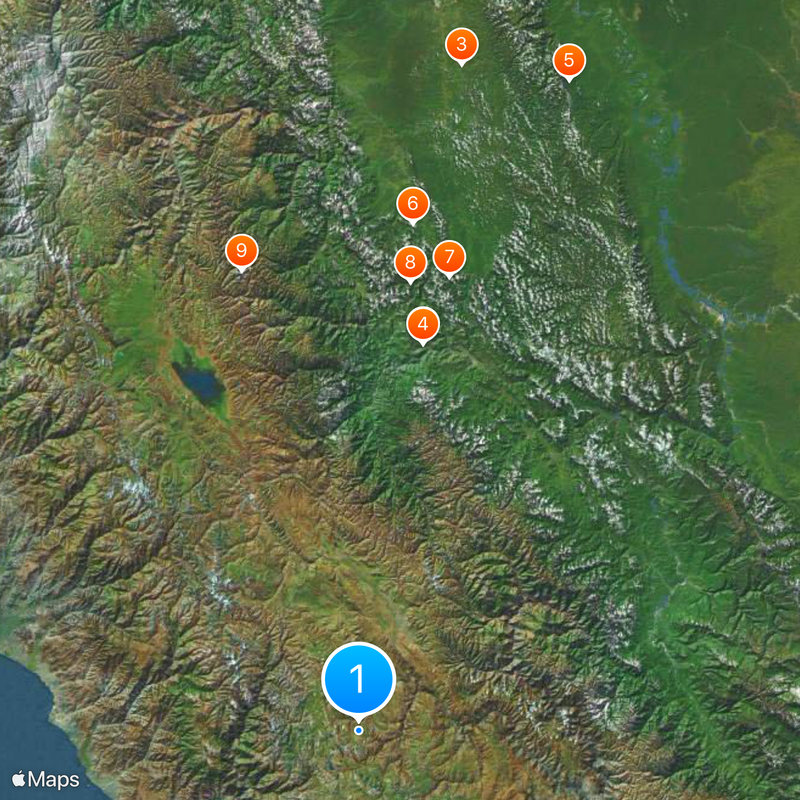
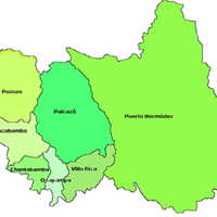
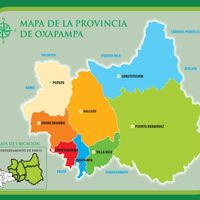
Oxapampa Province, Administrative province in Pasco Department, Peru
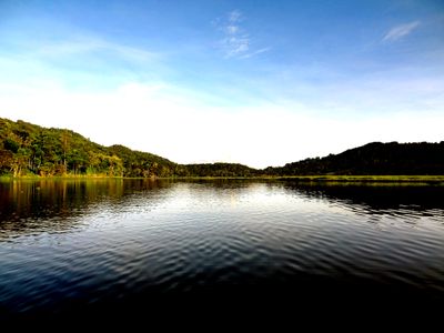
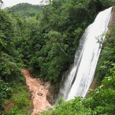
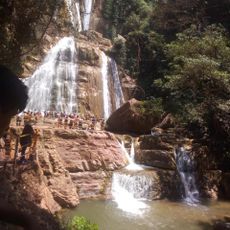
Oxapampa Province stretches from the eastern slopes of the Andes to the Amazon Basin lowlands, encompassing different ecological zones between 200 and 5,300 meters (16,400 feet) elevation. The territory divides into eight districts, each with its own character and administrative role.
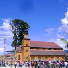
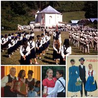
Three hundred Tyrolean and Prussian settlers arrived at Callao port in 1857 and later established communities across the region. These settlements formed the foundation for the creation of Oxapampa Province in 1944.
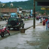
The settlements display Austrian architectural styles left by German-speaking colonists who arrived in the 1800s. These influences still shape how buildings look and how residents organize their communities.
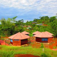
The terrain shifts significantly in elevation and climate depending on which district you visit. Sturdy footwear and weather-appropriate clothing work well everywhere, since conditions and trails vary considerably.
Cerro de la Sal in Villa Rica District is a salt-bearing hill used by local communities for generations. This natural salt source continues to draw people from across the region.
Location: Pasco Department
Capital city: Oxapampa
Shares border with: Pasco Province, Pachitea Province, Puerto Inca Province, Chanchamayo Province, Junín Province, Satipo Province, Atalaya Province, Coronel Portillo Province, Tarma Province
GPS coordinates: -12.56750,-75.40389
Latest update: December 17, 2025 10:07
Velo de la Novia, Perené
193.6 km
Panguana
332.8 km
Catarata Bayoz
193.1 kmEl Sira Communal Reserve
337.4 km
Yanesha Communal Reserve
251.5 km
San Matías–San Carlos Protection Forest
228 km
Oxapampa-Ashaninka-Yanesha
222.4 km
Waqurunchu
234 km
Iglesia Matriz Santa Rosa de Oxapampa
221.8 km
Archaeological Center of Ichu Yanuna
303.2 kmYanaqucha
231 kmÑawsaqucha
239.6 kmLacteos Floralp
220 kmCueva Sia Sia
213 kmTalsperre Chaglla
323.1 kmRecreo Ositos
202.7 kmBosque Sho'llet
210.9 kmCasa Palmatambo
280.8 kmIndio Paucar
208.1 kmTunqui Cueva
218.3 kmYulitunqui
267.4 kmCueva de Franz Schafferer
285.9 kmMirador del valle
285.9 kmMarco fotográfico
286.1 kmCruz Pata
286.2 kmLa avioneta
305.3 kmMirador
204.8 kmOrquideario Pulgar Verde
222.3 kmVisited this place? Tap the stars to rate it and share your experience / photos with the community! Try now! You can cancel it anytime.
Discover hidden gems everywhere you go!
From secret cafés to breathtaking viewpoints, skip the crowded tourist spots and find places that match your style. Our app makes it easy with voice search, smart filtering, route optimization, and insider tips from travelers worldwide. Download now for the complete mobile experience.
A unique approach to discovering new places❞
— Le Figaro
All the places worth exploring❞
— France Info
A tailor-made excursion in just a few clicks❞
— 20 Minutes