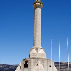
Villa Rica, Administrative district in Oxapampa Province, Peru.
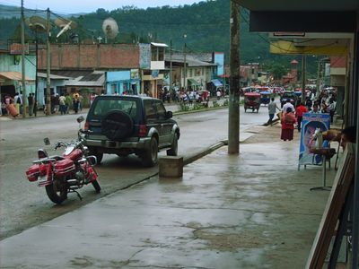
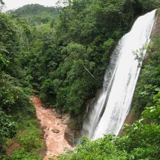
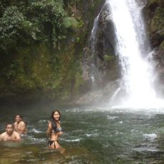
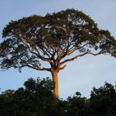
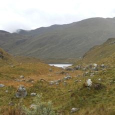
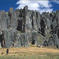
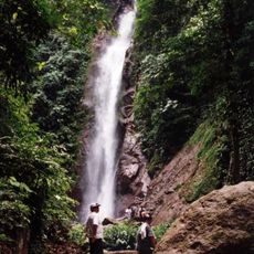
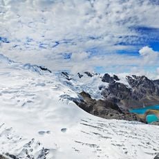
Villa Rica is a district in Oxapampa Province located on mountainous terrain at approximately 1,470 meters elevation in central Peru. The landscape combines dense forest cover with scattered settlements and agricultural plots adapted to the steep, rugged topography.
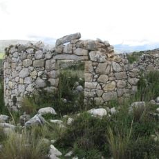
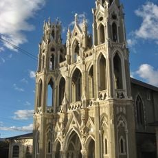
The district took root during the colonial period as a settlement in the Oxapampa mountain region. Over time, it developed into a significant center for coffee production and evolved into an administrative hub serving the surrounding area.
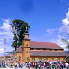
The local population centers its life around coffee farming, which shapes community celebrations and daily routines throughout the district. Walking through the area, you notice how the crop influences everything from the way people organize their time to the festivals they hold.
The district is connected to surrounding towns through a network of mountain roads, with transportation services operating regularly from the Oxapampa provincial capital. Road conditions can vary seasonally, so checking local conditions before traveling is helpful for planning your visit.
The coffee beans grown here at high altitude develop distinctive flavor qualities thanks to the combination of mountain climate, elevation, and specific soil conditions found nowhere else in the region. This makes the local harvest notably valued in coffee markets.
The community of curious travelers
AroundUs brings together thousands of curated places, local tips, and hidden gems, enriched daily by 60,000 contributors worldwide.