Puerto Bermúdez

Log in to your account

AroundUs is a community-driven map of interesting places, built by curious explorers like you. It grows with every review, story, and photo you share.
Connect to save your favorite spots, contribute locations, and create personalized routes.
Continue with Google
Continue with Apple
Continue with X
Continue with Facebook
Continue with email
By continuing, you accept our Terms and Conditions and our Privacy Policy
Create an account
Add to collection
Map
Suggest a change
Share

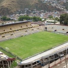
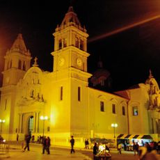
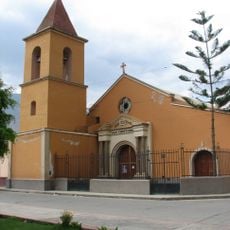
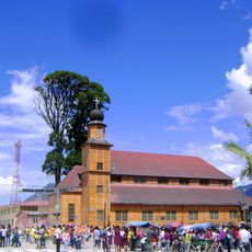
Puerto Bermúdez, Administrative district in Oxapampa Province, Peru.

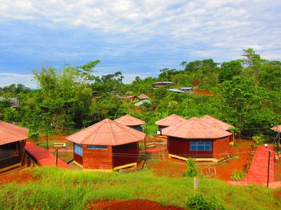
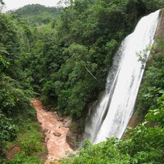
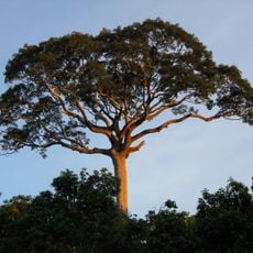
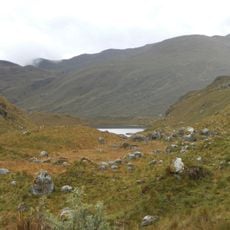
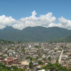
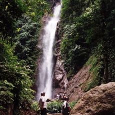
Puerto Bermúdez is an administrative district in the Pasco region that encompasses rivers, mountains, and extensive tropical forests across its territory. The landscape features dense vegetation and waterways that shape the natural environment throughout the district.

This area was established as an administrative district in 1958, becoming one of several territorial divisions within Oxapampa Province. The creation marked an important moment in the administrative organization of the region.

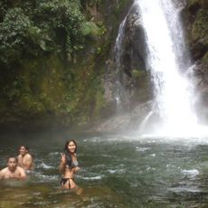
Indigenous communities here practice traditional fishing methods in the Pichis River, which remain central to their way of life and local livelihoods. These skills have been passed down through generations and continue to shape how people interact with the river today.

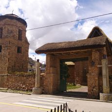
The terrain here is rugged and requires preparation for a tropical climate with high humidity and challenging ground conditions. Visitors should expect limited infrastructure outside main settlements and benefit from consulting local guides or information sources.

The district maintains specialized fish farming ponds that support local aquaculture and represent a blend of traditional fishing knowledge with modern practice. These facilities quietly contribute to the economic development of local communities.

Location: Oxapampa Province

Capital city: Puerto Bermúdez

Elevation above the sea: 250 m

Shares border with: Constitución, Palcazu, Villa Rica, Perené District, Pichanaqui District, Río Tambo District, Raimondi, Tahuanía

GPS coordinates: -10.29610,-74.93773

Latest update: December 8, 2025 13:44

Photos
Reviews

Visited this place? Tap the stars to rate it and share your experience / photos with the community! Try now! You can cancel it anytime.

« Puerto Bermúdez - Administrative district in Oxapampa Province, Peru » is provided by Around Us (aroundus.com). Images and texts are derived from Wikimedia project under a Creative Commons license. You are allowed to copy, distribute, and modify copies of this page, under the conditions set by the license, as long as this note is clearly visible.

Discover hidden gems everywhere you go!

From secret cafés to breathtaking viewpoints, skip the crowded tourist spots and find places that match your style. Our app makes it easy with voice search, smart filtering, route optimization, and insider tips from travelers worldwide. Download now for the complete mobile experience.

Around Us App Screenshot

A unique approach to discovering new places

Le Figaro

All the places worth exploring

France Info

A tailor-made excursion in just a few clicks

20 Minutes