Cochas District, district in Lima, Peru
Location: Yauyos Province
Elevation above the sea: 2,831 m
Shares border with: San Lorenzo de Quinti District, San Joaquín District, Quinches District, Huampara District, Quinocay District
GPS coordinates: -12.29640,-76.15890
Latest update: March 4, 2025 02:32
Pachacamac
80.7 km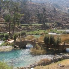
Nor Yauyos-Cochas Landscape Reserve
43.4 km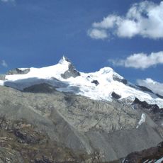
Pariacaca
38.3 km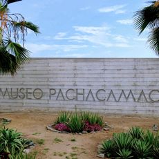
Pachacamac site Museum
81.5 km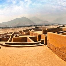
Huaycán de Pariachi
79.9 km
Zárate Forest Reserved Zone
54.4 km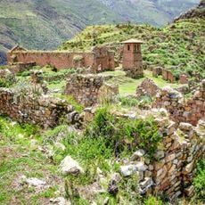
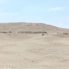
Pueblo Antiguo de Huaquis
36.1 km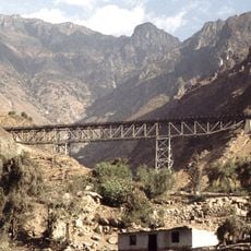
Verrugas Bridge
57.7 km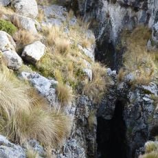
Sima Pumacocha
51 km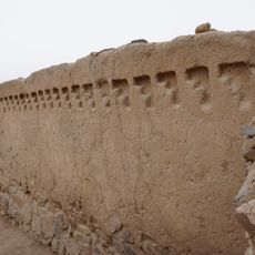
Huaycán de Cieneguilla
70.3 km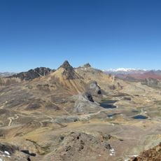
Chinchirusa
73.7 km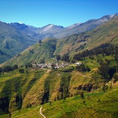
Ticlla
22 km
Omas River
72 km
Wayrakancha
67.6 km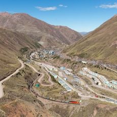
Quñuqp'ukru
68.3 km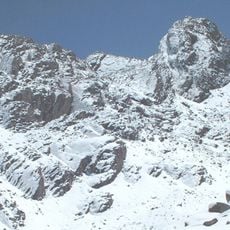
Wamp'una
55.6 km
Qanchis Kancha
74.5 km
Chuqi Chukchu
71.5 km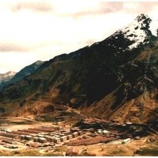
Chumpe (Junín)
64 km
Jirishmach'ay
77.4 km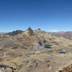
Paraqti
71.8 km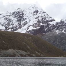
Llongote
23.2 km
Huayna Cotoni
19.3 km
Santa Eulalia River
69.4 km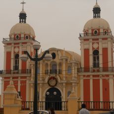
Iglesia de Nuestra Señora de la Asunción de Chilca
67.7 km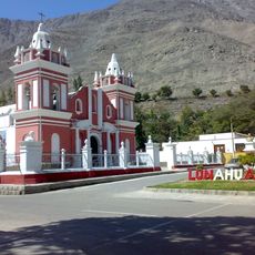
Iglesia de Lunahuana
74.3 km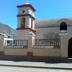
Iglesia de Calango
49.1 km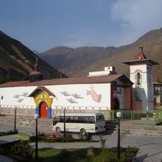
Iglesia del Espíritu Santo de Huamansica o Antioquía
45.1 kmReviews
Visited this place? Tap the stars to rate it and share your experience / photos with the community! Try now! You can cancel it anytime.
Discover hidden gems everywhere you go!
From secret cafés to breathtaking viewpoints, skip the crowded tourist spots and find places that match your style. Our app makes it easy with voice search, smart filtering, route optimization, and insider tips from travelers worldwide. Download now for the complete mobile experience.

A unique approach to discovering new places❞
— Le Figaro
All the places worth exploring❞
— France Info
A tailor-made excursion in just a few clicks❞
— 20 Minutes