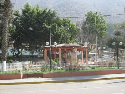
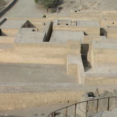
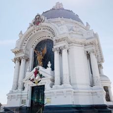
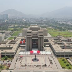
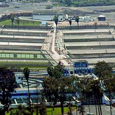
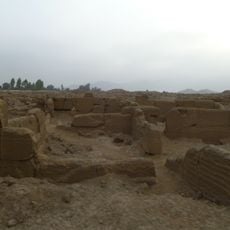
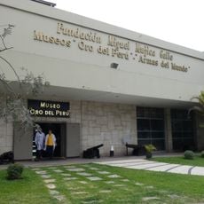
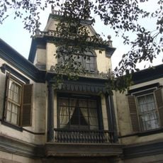
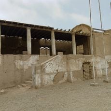
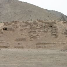
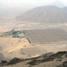
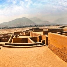
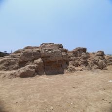
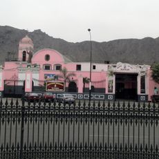
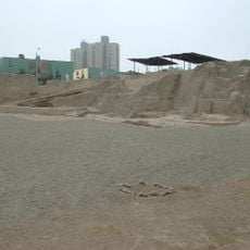
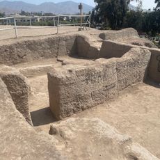
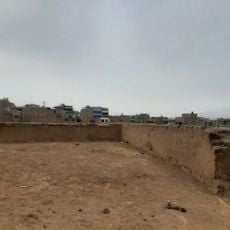
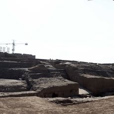
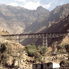
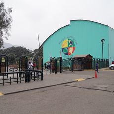
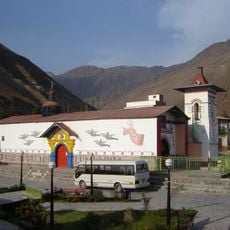
Santa Eulalia District, district in Lima, Peru
Location: Huarochirí Province
Capital city: Santa Eulalia
Elevation above the sea: 1,036 m
Shares border with: San Antonio de Chaclla district, San Pedro de Casta District, Callahuanca District, San Mateo de Otao District, Ricardo Palma District, Lurigancho-Chosica
GPS coordinates: -11.90124,-76.66410
Latest update: March 3, 2025 09:41
Puruchuco
33.2 km
Cripta de los Héroes
40.7 km
Ministerio de Defensa del Perú building
41.6 km
La Atarjea potable water treatment plant
37.7 km
Cajamarquilla
26.8 km
Gold Museum of Peru and Weapons of the World
40.2 km
Quinta Heeren
41.9 km
Casa Hacienda Punchauca
37.5 km
Huaca Mangomarca
36.8 km
Jicamarca Radio Observatory
23.6 km
Convento de los Descalzos
41.9 km
Huaycán de Pariachi
22.1 km
Huaca Tungasuca
41.2 km
Museo de los Descalzos
41.9 km
Huaca San Borja
41.9 km
Zárate Forest Reserved Zone
19.3 km
Huaca Melgarejo
36.1 km
Huaca Canto Chico
40.1 km
Huaca Bellavista
33.8 km
Verrugas Bridge
19.3 km
Estadio Municipal de La Molina
32.1 km
Huaycán de Cieneguilla
23.1 km
Huaca El Sauce
37.4 km
Huaca Sinchi Roca
41.7 km
Huaca Templo Con Con
39.1 km
Santa Eulalia River
2.5 km
Huachipa Zoo Park
28.5 km
Iglesia del Espíritu Santo de Huamansica o Antioquía
26.1 kmVisited this place? Tap the stars to rate it and share your experience / photos with the community! Try now! You can cancel it anytime.
Discover hidden gems everywhere you go!
From secret cafés to breathtaking viewpoints, skip the crowded tourist spots and find places that match your style. Our app makes it easy with voice search, smart filtering, route optimization, and insider tips from travelers worldwide. Download now for the complete mobile experience.
A unique approach to discovering new places❞
— Le Figaro
All the places worth exploring❞
— France Info
A tailor-made excursion in just a few clicks❞
— 20 Minutes