
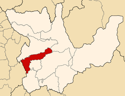
Pachas District, district in Huánuco, Peru
Location: Dos de Mayo Province
Elevation above the sea: 3,452 m
Shares border with: Huallanca District, Llata District, Quivilla District, Marías District, Chuquis District, , Ripán District
GPS coordinates: -9.70555,-76.77152
Latest update: April 22, 2025 05:17
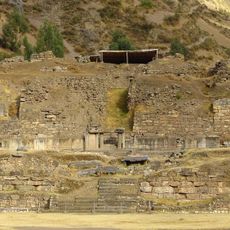
Chavin de Huantar
46.4 km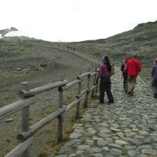
Nevado Pastoruri
52.2 km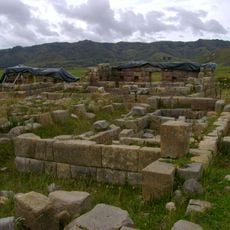
Huánucopampa
14.4 km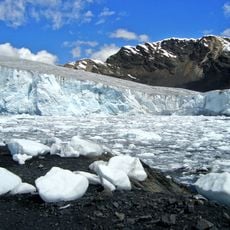
Pastoruri Glacier
51 km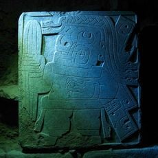
Stela of the cactus-bearer shaman
46.3 km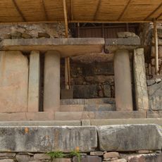
Portal of the Falcons
46.3 km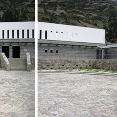
Chavin National Museum
46.8 km
Piruro
37.1 km
Markahirka
54.1 km
Cruzpampa
48 km
T'akaq
21.9 km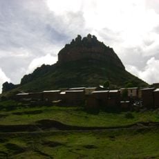
Laksha Warina
32.2 km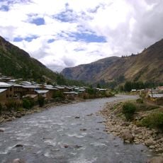
Urqumayu
8.1 km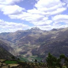
Kikash
53 km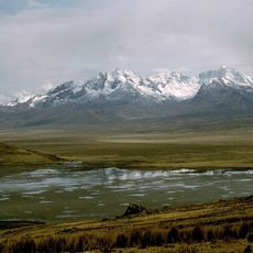
Caullaraju
58 km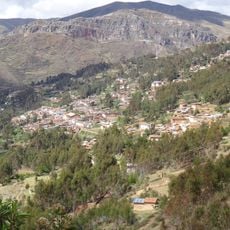
Ahuila Gencha Machay
34.6 km
Garu
29.2 km
Pucaraju
59.3 km
Rapayán
55.9 km
Susupillu
35 km
Ichic Jeulla
60 km
Yanamarey
55.1 km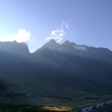
Huallanca
37.6 km
Chuspi
37.6 km
Mazur
25.4 km
Winak
40.5 km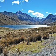
Rocotopunta
58.8 km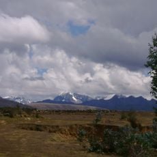
Kuntur Wayi
39.6 kmReviews
Visited this place? Tap the stars to rate it and share your experience / photos with the community! Try now! You can cancel it anytime.
Discover hidden gems everywhere you go!
From secret cafés to breathtaking viewpoints, skip the crowded tourist spots and find places that match your style. Our app makes it easy with voice search, smart filtering, route optimization, and insider tips from travelers worldwide. Download now for the complete mobile experience.

A unique approach to discovering new places❞
— Le Figaro
All the places worth exploring❞
— France Info
A tailor-made excursion in just a few clicks❞
— 20 Minutes