Pucaraju, Mountain peak in Ticapampa District, Peru
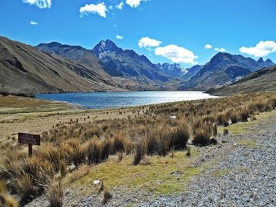
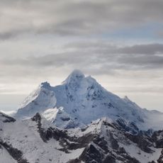
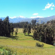
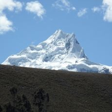
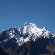
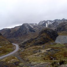
Pucaraju is a mountain in the Cordillera Blanca reaching about 5,346 meters with steep slopes and rock formations typical of the Andes. The summit features snow fields and sits among other high peaks that create a rough, exposed high-altitude landscape.
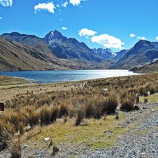
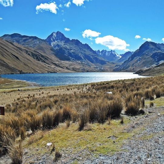
The sources record no first ascent or climbing history for Pucaraju. Its documented history is cartographic: the IGN-Peru map labels the main peak Tunsho and applies the name Pucarajo to the southern slopes, so the name and summit are mapped differently by different authorities. The mountain lies west of Yanamarey and northeast of Lake Querococha in the Cordillera Blanca.
The name may derive from Quechua puka (red) and rahu (snow, ice, snow-covered mountain), giving "red snow-covered mountain". Peru's IGN map labels the main peak Tunsho and applies the name Pucarajo to the southern slopes, so the name on maps depends on which part of the massif is meant.
Climbers access the peak via established routes from Recuay Province, requiring high-altitude gear and time spent acclimatizing to thin air. Most expeditions start from lower elevations and gradually work upward to adapt to the conditions.
Peru's IGN map labels the main peak Tunsho and applies the name Pucarajo to the southern slopes, so maps and climbing reports can disagree on which summit is Pucaraju. The Quechua name may mean "red snow-covered mountain", from puka (red) and rahu (snow, ice).
The community of curious travelers
AroundUs brings together thousands of curated places, local tips, and hidden gems, enriched daily by 93,899 contributors worldwide.