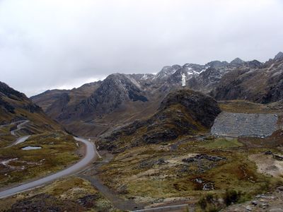
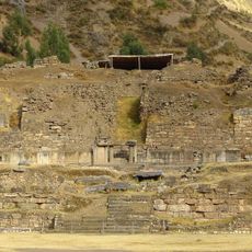
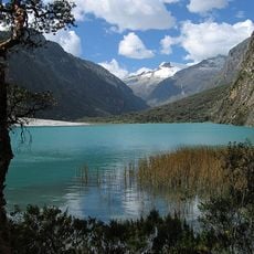
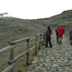
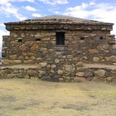
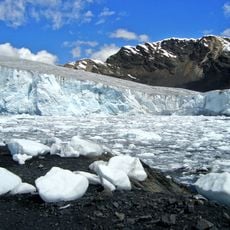
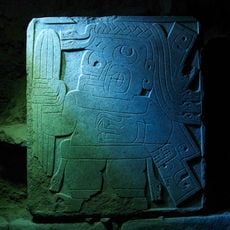
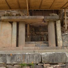
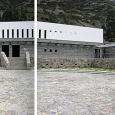
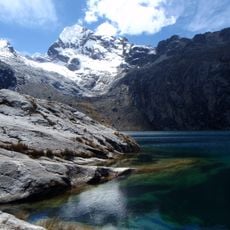
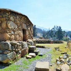
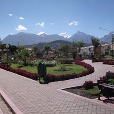
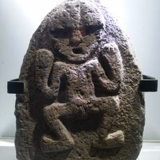
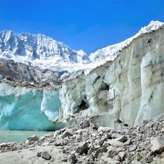
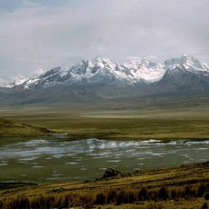
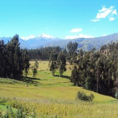
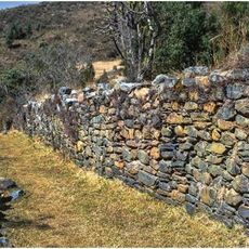
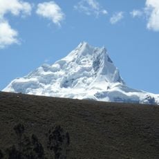
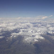
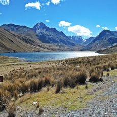
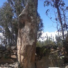
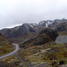
Ticapampa District, district of Peru
Location: Recuay Province
Inception: October 12, 1921
Elevation above the sea: 2,556 m
Shares border with: Recuay District, Olleros District, Chavín de Huantar District, Catac District, Aija District
GPS coordinates: -9.75851,-77.44376
Latest update: April 23, 2025 01:12
Chavin de Huantar
34.5 km
Huascarán National Park
34.4 km
Nevado Pastoruri
33.8 km
Willkawayin
31.5 km
Pastoruri Glacier
33.9 km
Stela of the cactus-bearer shaman
34.5 km
Portal of the Falcons
34.4 km
Chavin National Museum
35.5 km
Huantsán
30.8 km
Churup
32.4 km
Waullac
27.2 km
Rima Rima
33.3 km
Archaeological Museum of Ancash
27.1 km
Llaca Glacier
38.3 km
Caullaraju
32.1 km
Huamashraju
26.8 km
Choquerecuay
5.8 km
Pucaraju
17.3 km
Shacsha
20.9 km
Iglesia de Nuestra Señora de Belén
26.8 km
Cayesh
38.8 km
Ichic Jeulla
33.2 km
Yanamarey
22.6 km
Rocotopunta
16.1 km
Huancajirca
28.4 km
Pucagaga Punta
34.1 km
Wishka Hirka
29.3 km
Matagaga
31.5 kmReviews
Visited this place? Tap the stars to rate it and share your experience / photos with the community! Try now! You can cancel it anytime.
Discover hidden gems everywhere you go!
From secret cafés to breathtaking viewpoints, skip the crowded tourist spots and find places that match your style. Our app makes it easy with voice search, smart filtering, route optimization, and insider tips from travelers worldwide. Download now for the complete mobile experience.
A unique approach to discovering new places❞
— Le Figaro
All the places worth exploring❞
— France Info
A tailor-made excursion in just a few clicks❞
— 20 Minutes