Tuco, Mountain peak in Cordillera Blanca, Peru
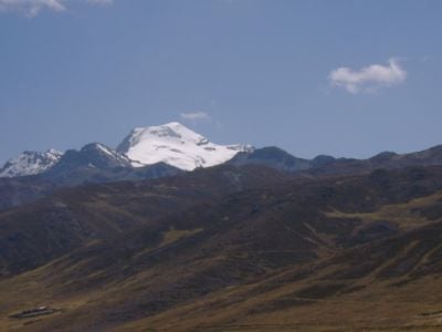
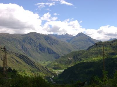
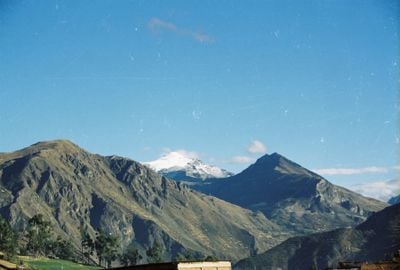
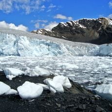
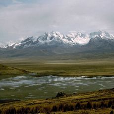
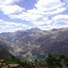
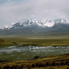
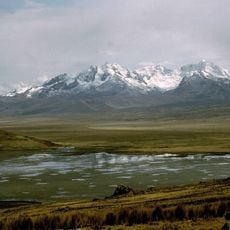
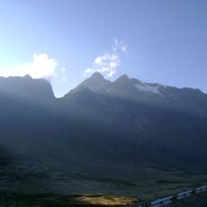
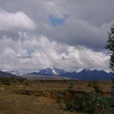
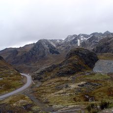
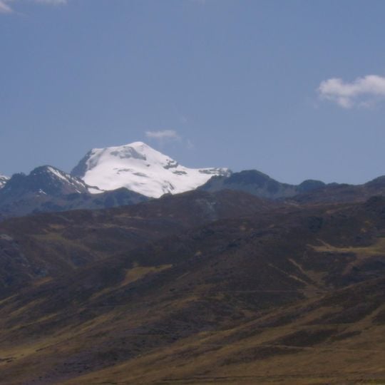
Tuco is a mountain in the Cordillera Blanca whose summit reaches 5,479 m, one of the southernmost snow-capped peaks of the range. It lies in the Áncash Region, on the border of the Bolognesi and Recuay provinces, northeast of Caullaraju and between Challhua to the west and Pastoruri to the east. Its broad, rounded summit is capped by a snowfield broken by dark rock, with bare brown and grey rock descending into steep ridges and gullies below the snowline.
Tuco lies at the southeastern end of the Cordillera Blanca, on the border of the Aquia District in Bolognesi Province and the Catac District in Recuay Province, Ancash. Raju Cutac, further south, is the only Cordillera Blanca peak beyond it. Its summit is given as 5,300 m in some sources and 5,479 m in others; the Quechua name Tuco may derive from tuku, owl.
Tuco, Tuku or Tucu possibly derives from Quechua tuku, owl; the alternative name Huanaco Punta may combine Quechua wanaku, guanaco, with Spanish punta, peak. The peak is also called Nevado de Tuco in Spanish. It is viewed from Conococha, Chiquián and the upper Conococha–Chiquián road.
Tuco lies at the southeastern end of the Cordillera Blanca, on the border of the Bolognesi and Recuay provinces. It can be seen from Conococha, Chiquián and the upper stretch of the Conococha–Chiquián road, all at high elevation, so allow time to adjust before walking or climbing. The summit stands at 5,479 m, and the nearest higher neighbours are Challhua to the west and Pastoruri to the east.
Tuco is one of the southernmost snow-capped peaks of the Cordillera Blanca; only Raju Cutac lies further south in the range. Its summit is given as 5,479 m, though Spanish-language sources cite 5,300 m or up to 5,480 m. The peak can be seen from Conococha, Chiquián and the upper stretch of the Conococha–Chiquián road.
The community of curious travelers
AroundUs brings together thousands of curated places, local tips, and hidden gems, enriched daily by 92,642 contributors worldwide.