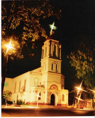
Camaquã, Municipality in Rio Grande do Sul, Brazil.
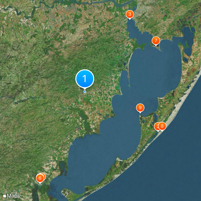
Camaquã is a municipality in southern Rio Grande do Sul that includes farmland, pastures, and an urban center. The area spreads across gently rolling terrain with a river running through the landscape.
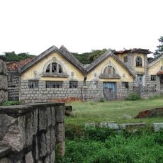
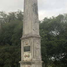
The municipality was founded in the 19th century and grew as an administrative and trade hub for the farming region around it. Settlement followed trade routes and the availability of water for farming and livestock.
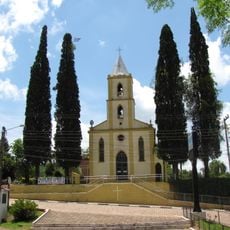
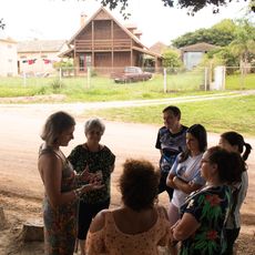
The people here follow gaucho traditions and keep customs tied to farming and rural life. These ways shape how the community lives together today.
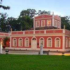
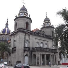
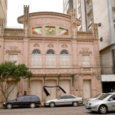
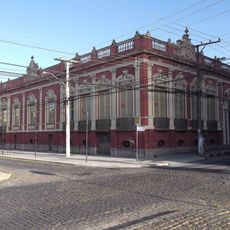
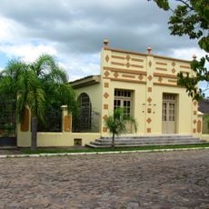
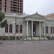
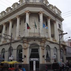
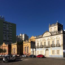
The municipality has a compact center where shops, government offices, and services are clustered. It is easy to explore on foot, and from here you can reach the surrounding farms and rural areas.
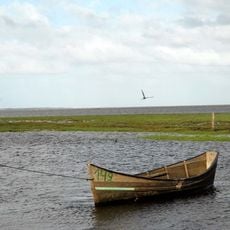
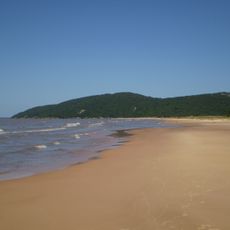
The Camaquã River shaped the settlement for centuries and was once a key route for moving goods and livestock. Its geography still influences how farmers use their fields and manage water today.
Location: Rio Grande do Sul
Inception: April 19, 1864
Elevation above the sea: 24 m
Shares border with: Amaral Ferrador, São Lourenço do Sul, Cerro Grande do Sul, Arambaré, Barão do Triunfo, Chuvisca, Cristal, Dom Feliciano, São Jerônimo, Sentinela do Sul
Website: http://camaqua.rs.gov.br
GPS coordinates: -30.85278,-51.81528
Latest update: December 20, 2025 15:30
Lagoa do Peixe National Park
93.4 km
Ilha do Presídio
95.9 km
Museu da Baronesa
111.5 km
Catedral São Francisco de Paula
113 km
Theatro Sete de Abril
113.6 km
Itapuã State Park
95.2 km
Mostardas Lighthouse
97.1 km
Cristóvão Pereira Lighthouse
66.3 km
Lami José Lutzenberger Biological Reserve
95.6 km
Parque Histórico General Bento Gonçalves
27.7 km
Capão da Marca Lighthouse
93.7 km
Casa de Gomes Jardim
95.5 km
Usina Termoelétrica (Museu Carvão 01)
85.2 km
Museu de Arte Leopoldo Gotuzzo
113.8 km
Itapuã da Lagoa Lighthouse
89.2 km
Antiga Residência do Senador Augusto Assumpção
113.8 km
Igreja Nossa Senhora do Rosário
52 km
Forte Zeca Netto
682 m
Matadouro São Geraldo
94.7 km
Antiga Escola de Agronomia Eliseu Maciel
113.8 km
Castelo Simões Lopes
114.7 km
Casa João Simões Lopes Neto - Instituto J. Simões Lopes Neto
114.1 km
Caixa D'Água localizada na Praça Piratinino de Almeida, antigo Largo da Caridade
113.5 km
Obelisco Republicano Pelotas
110 km
Banco Pelotense
113.7 km
Quilombo Vó Elvira
82.1 km
Cineflix Shopping Pelotas
112 km
Praça Coronel 2, 6 e 8 Pedro Osório
113.7 kmVisited this place? Tap the stars to rate it and share your experience / photos with the community! Try now! You can cancel it anytime.
Discover hidden gems everywhere you go!
From secret cafés to breathtaking viewpoints, skip the crowded tourist spots and find places that match your style. Our app makes it easy with voice search, smart filtering, route optimization, and insider tips from travelers worldwide. Download now for the complete mobile experience.
A unique approach to discovering new places❞
— Le Figaro
All the places worth exploring❞
— France Info
A tailor-made excursion in just a few clicks❞
— 20 Minutes