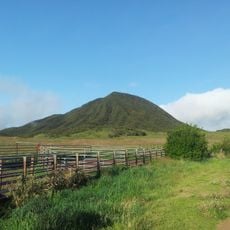
Piton de Villers, Mountain summit in Le Tampon, Réunion Island, France.
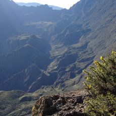
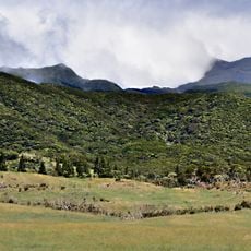
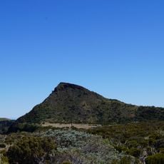
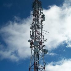
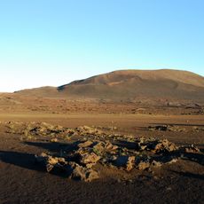
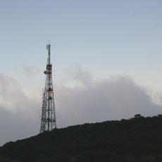
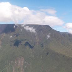
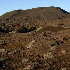
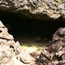
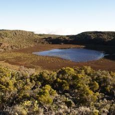
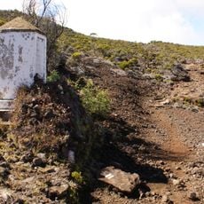
Piton de Villers is a mountain summit reaching 1,712 meters that rises within the Piton de la Fournaise massif and is characterized by steep slopes and natural vegetation. A weather radar station has been installed at the peak to monitor meteorological conditions across the southern region of the island.
The mountain was named after Jean-Baptiste de Villers, a former governor of Bourbon Island during the French colonial era. This naming tradition reflects the historical importance of the region within the colonial administration.
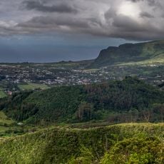
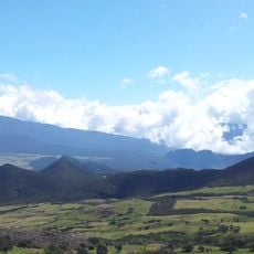
The summit functions as a natural landmark in the landscape and serves as an important reference point for local communities navigating between different regions of the island. Its distinctive shape makes it a recognizable feature that characterizes the southern areas of Reunion Island.
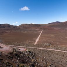
The best time to visit is during the drier months when visibility at the summit is optimal and conditions remain more stable. Bring weather-resistant gear since the mountain peak can experience rapidly changing meteorological conditions.
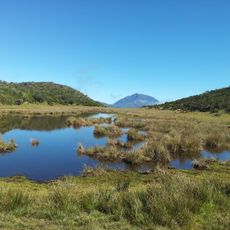
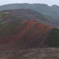
From the summit, visitors can see neighboring peaks Piton Desforges and Piton Dugain directly on clear days, making it an excellent vantage point for observing the surrounding mountain terrain. This geographic position offers a rare perspective on the volcanic formations of the region.
The community of curious travelers
AroundUs brings together thousands of curated places, local tips, and hidden gems, enriched daily by 60,000 contributors worldwide.