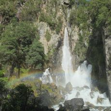
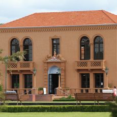
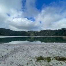
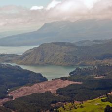
Lake Rotorua/Te Rotorua nui ā Kahumatamomoe, Volcanic crater lake in Bay of Plenty Region, New Zealand.
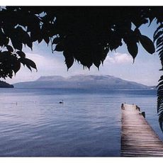
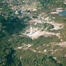
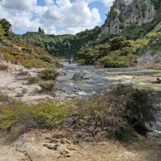
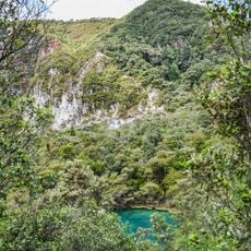
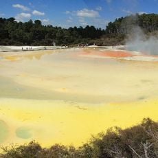
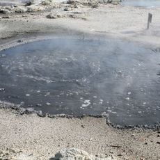
Lake Rotorua is a near-circular volcanic crater lake in the Bay of Plenty Region, covering 79.8 km² with a mean depth of 10 metres. Its yellowish-green water comes from high sulphur content tied to geothermal activity around the lake. Mokoia Island, a rhyolite dome, sits near the centre, and the Ohau Channel drains the lake into Lake Rotoiti.
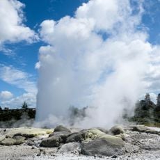
The lake formed around 240,000 years ago when volcanic eruption created the Rotorua Caldera, which then filled with water over time. This geological event shaped the landscape and continues to influence the area's geothermal character today.
The full Māori name is Te Rotorua nui ā Kahumatamomoe. Mokoia Island, a rhyolite dome near the centre, is linked to the legend of Hinemoa and Tutanekai: Hinemoa swam across the lake to reach her lover Tutanekai, who lived on the island. The Ohau Channel joins at the Mourea delta, near the ancestral land of the Ngāti Pikiao hapū of the Te Arawa tribe.
You can reach the lake from Rotorua city through several access points, with boat launches available for fishing and water activities. Visiting outside peak times makes for a more relaxed experience on and around the water.
Surveys published in 2024 mapped the lake floor and found thousands of pockmarks, probably formed by gas escaping from decomposing organic material in the sediment. The same maps traced a submerged ancient river channel and showed geothermal activity reaching about 1 km into the lake from Sulphur Point.
The community of curious travelers
AroundUs brings together thousands of curated places, local tips, and hidden gems, enriched daily by 93,865 contributors worldwide.