
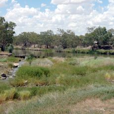
Yantabulla, locality in New South Wales, Australia
Location: New South Wales
Location: Bourke Shire
Location: Bourke Shire
Location: Mucruss
GPS coordinates: -29.34556,145.00111
Latest update: August 7, 2025 00:35
Brewarrina Aboriginal Fish Traps
191.9 km
Quandamooka people
252.6 km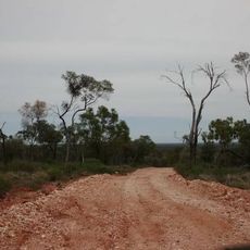
Koroit opal field
198.6 km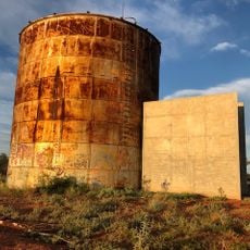
Cobar Sound Chapel
252.9 km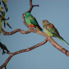
Currawinya National Park
80.6 km
Paroo-Darling National Park
262 km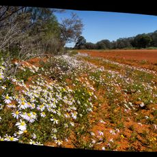
Gundabooka National Park
155 km
The Robbers Tree
156.4 km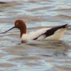
Lake Bindegolly National Park
168 km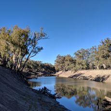
Toorale National Park
109.4 km
Culgoa Floodplain National Park
186.8 km
Culgoa National Park
189.2 km
Royal Mail Hotel
69.4 km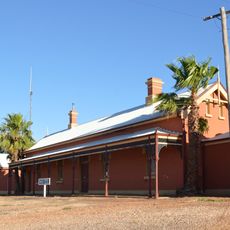
Cobar railway station
252.1 km
Narkoola National Park
244.4 km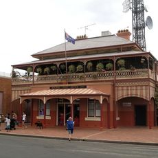
Bourke Post Office
122.6 km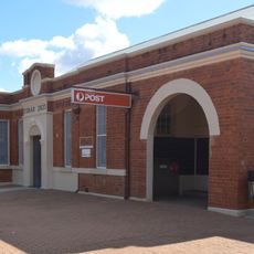
Cobar Post Office
252.9 km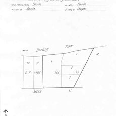
St Ignatius Roman Catholic Church and Convent, Bourke
122.2 km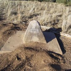
Zero Obelisk
75.5 km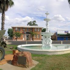
Cunnamulla War Memorial Fountain
157.1 km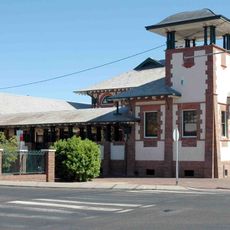
Bourke Court House
122.7 km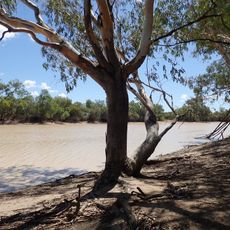
Nocoleche Nature Reserve
100.2 km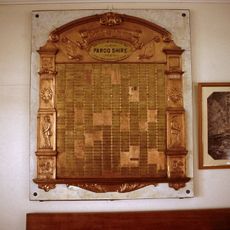
Paroo Shire Honour Board
156.7 km
Ardsilla
122.9 km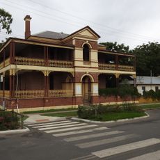
Old London Bank Building
122.5 km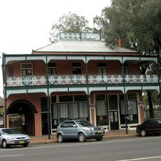
Towers Drug Company Building
122.7 km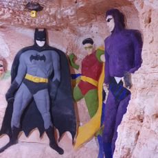
Chambers of the Black Hand
287.7 km
Binya National Park
79.8 kmReviews
Visited this place? Tap the stars to rate it and share your experience / photos with the community! Try now! You can cancel it anytime.
Discover hidden gems everywhere you go!
From secret cafés to breathtaking viewpoints, skip the crowded tourist spots and find places that match your style. Our app makes it easy with voice search, smart filtering, route optimization, and insider tips from travelers worldwide. Download now for the complete mobile experience.

A unique approach to discovering new places❞
— Le Figaro
All the places worth exploring❞
— France Info
A tailor-made excursion in just a few clicks❞
— 20 Minutes