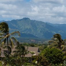
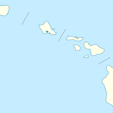
Mount Waialeale, Summit and mountain in Kauai County, United States
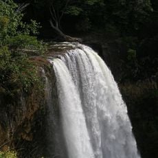
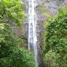
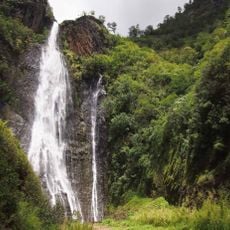
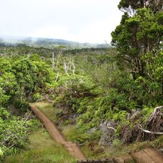
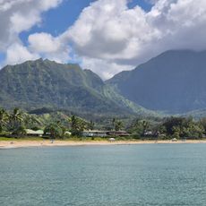
Mount Waialeale rises to 1,569 meters on the island of Kauai and features steep cliffs with deeply carved valleys below. The terrain is covered in native Hawaiian vegetation and crossed by streams and waterfalls fed by relentless rainfall.
Mount Waiʻaleʻale is a shield volcano, the second-highest point on Kauaʻi after Kawaikini. Rainfall records at its summit date back to 1912, when measurements began averaging more than 373 inches a year; 1982 brought a record 683 inches. Its name means "rippling water" or "overflowing water" in Hawaiian.
The name Waiʻaleʻale means "rippling water" or "overflowing water" in Hawaiian, referring to the rain that falls on the summit on about 335 days a year. The mountain gives its name to rare plants found only there, such as Astelia waialealae, Melicope waialealae and Dubautia waialealae.
Reaching the summit requires advanced navigation skills and preparation for extreme weather, which is why most visitors opt for helicopter tours instead. Visibility is often limited and conditions can shift rapidly, so flexibility and proper gear are essential.
The summit plateau is flanked by valleys over 3,000 feet deep on three sides, which funnel moisture toward the peak. Three rare plants carry the mountain's name: Astelia waialealae, Melicope waialealae and Dubautia waialealae.
The community of curious travelers
AroundUs brings together thousands of curated places, local tips, and hidden gems, enriched daily by 94,440 contributors worldwide.